
Puerto Rico Highway 134
Highway in Puerto Rico / From Wikipedia, the free encyclopedia
Dear Wikiwand AI, let's keep it short by simply answering these key questions:
Can you list the top facts and stats about Puerto Rico Highway 134?
Summarize this article for a 10 year old
SHOW ALL QUESTIONS
Puerto Rico Highway 134 (PR-134) is a rural road that travels from Lares, Puerto Rico to Hatillo.[2] This highway begins at its intersection with PR-111 in barrio Lares and ends at its junction with PR-129 in Campo Alegre.[3]
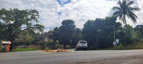 Southbound beginning of PR-134 at PR-129 junction in Campo Alegre, Hatillo

Quick Facts Highway 134, Route information ...
Highway 134 | ||||
|---|---|---|---|---|
| Ruta 134 | ||||
| Route information | ||||
| Maintained by Puerto Rico DTPW | ||||
| Length | 17.5 km[1] (10.9 mi) | |||
| Major junctions | ||||
| South end | ||||
| Major intersections | ||||
| North end | ||||
| Location | ||||
| Country | United States | |||
| Territory | Puerto Rico | |||
| Municipalities | Lares, Utuado, Hatillo | |||
| Highway system | ||||
| ||||

Close