File:South_Africa_-_Drakensberg_(16261357780).jpg
From Wikipedia, the free encyclopedia
Size of this preview: 800 × 450 pixels. Other resolutions: 320 × 180 pixels | 640 × 360 pixels | 1,024 × 576 pixels | 1,280 × 720 pixels | 2,560 × 1,440 pixels | 5,313 × 2,989 pixels.
Original file (5,313 × 2,989 pixels, file size: 14.84 MB, MIME type: image/jpeg)
| This is a file from the Wikimedia Commons. Information from its description page there is shown below. Commons is a freely licensed media file repository. You can help. |
Summary
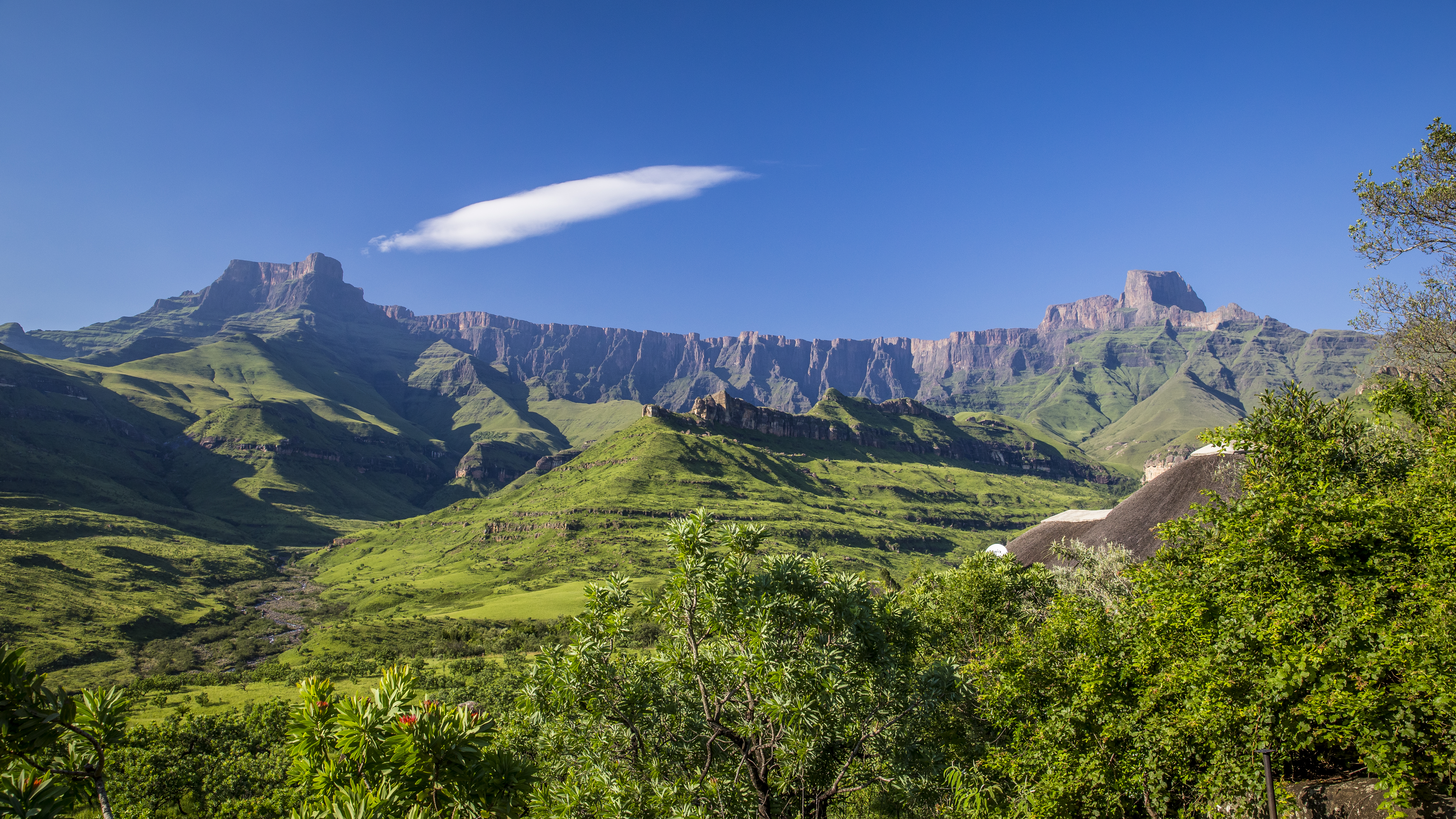
| DescriptionSouth Africa - Drakensberg (16261357780).jpg | Photos at Royal Natal National Park |
| Date | |
| Source | South Africa - Drakensberg |
| Author | Diriye Amey from Locarno, Switzerland |
| Camera location | 28° 42′ 30.83″ S, 28° 56′ 09.83″ E | View this and other nearby images on: OpenStreetMap |
|---|
Licensing
This file is licensed under the Creative Commons Attribution 2.0 Generic license.
- You are free:
- to share – to copy, distribute and transmit the work
- to remix – to adapt the work
- Under the following conditions:
- attribution – You must give appropriate credit, provide a link to the license, and indicate if changes were made. You may do so in any reasonable manner, but not in any way that suggests the licensor endorses you or your use.
| This image was originally posted to Flickr by Diriye Amey at https://www.flickr.com/photos/28683388@N08/16261357780. It was reviewed on 13 February 2015 by FlickreviewR and was confirmed to be licensed under the terms of the cc-by-2.0. |
13 February 2015
Captions
Dragon Mountains
Declared South Africa's fourth World Heritage Site on 29 November 2000, the uKhahlamba Drakensberg Park is the country's first mixed cultural and natural heritage site, claiming international recognition for both the unique rock art sites and nature.
Drakensberg
Maluti Mountains
Items portrayed in this file
depicts
some value
21 January 2015
28°42'30.827"S, 28°56'9.834"E
image/jpeg
File history
Click on a date/time to view the file as it appeared at that time.
| Date/Time | Thumbnail | Dimensions | User | Comment | |
|---|---|---|---|---|---|
| current | 13:57, 13 February 2015 | | 5,313 × 2,989 (14.84 MB) | Underlying lk | Transferred from Flickr via Flickr2Commons |
File usage
The following pages on the English Wikipedia use this file (pages on other projects are not listed):
Global file usage
The following other wikis use this file:
- Usage on af.wikipedia.org
- Usage on ast.wikipedia.org
- Usage on de.wikipedia.org
- Usage on en.wikiquote.org
- Usage on es.wikipedia.org
- Usage on io.wikipedia.org
- Usage on it.wikivoyage.org
- Usage on ja.wikipedia.org
- Usage on ko.wikipedia.org
- Usage on lt.wikipedia.org
- Usage on lv.wikipedia.org
- Usage on nl.wikipedia.org
- Usage on no.wikipedia.org
- Usage on nso.wikipedia.org
- Usage on pl.wikipedia.org
- Usage on pl.wiktionary.org
- Usage on pt.wikipedia.org
- Usage on ru.wikipedia.org
- Usage on sd.wikipedia.org
- Usage on sw.wikipedia.org
- Usage on te.wikipedia.org
- Usage on th.wikipedia.org
- Usage on trv.wikipedia.org
- Usage on tum.wikipedia.org
- Usage on uk.wikipedia.org
- Usage on uz.wikipedia.org
- Usage on zh-yue.wikipedia.org
- Usage on zh.wikipedia.org
- Usage on zu.wikipedia.org
Metadata
This file contains additional information, probably added from the digital camera or scanner used to create or digitize it.
If the file has been modified from its original state, some details may not fully reflect the modified file.
| Image title |
|
|---|---|
| Author | Diriye Amey |
| Copyright holder |
|
| Date and time of data generation | 06:22, 21 January 2015 |
| Latitude | 28° 42′ 30.83″ S |
| Longitude | 28° 56′ 9.83″ E |
| Altitude | 1,617.6 meters above sea level |
| Short title |
|
| City shown | Giants Castle Game Reserve |
| Horizontal resolution | 240 dpi |
| Vertical resolution | 240 dpi |
| Software used | Adobe Photoshop Lightroom 5.7 (Macintosh) |
| File change date and time | 10:32, 5 February 2015 |
| Exif version | 2.3 |
| Date and time of digitizing | 06:22, 21 January 2015 |
| DateTimeOriginal subseconds | 00 |
| DateTimeDigitized subseconds | 00 |
| Color space | Uncalibrated |
| GPS time (atomic clock) | 05:22:13.826 |
| Geodetic survey data used | WGS-84 |
| GPS date | 21 January 2015 |
| GPS tag version | 0.0.3.2 |
| Keywords | south africa 2015 sud afrique afrika süd kwazulu natal drakensberg park royal natal national park mountains hike trekking landscapes thendele hutted camp |
| Date metadata was last modified | 11:32, 5 February 2015 |
| IIM version | 4 |
| Province or state shown | KwaZulu-Natal |
| Country shown | Sudafrica |
.jpg)