File:Ptolemy_map_15th_century.jpg
From Wikipedia, the free encyclopedia
Size of this preview: 784 × 600 pixels. Other resolutions: 314 × 240 pixels | 627 × 480 pixels | 1,004 × 768 pixels | 1,280 × 980 pixels | 1,870 × 1,431 pixels.
Original file (1,870 × 1,431 pixels, file size: 2.85 MB, MIME type: image/jpeg)
| This is a file from the Wikimedia Commons. Information from its description page there is shown below. Commons is a freely licensed media file repository. You can help. |
Summary
| Artist |
Lord Nicolas the German (Donnus Nicholas Germanus), cartographer Johann the Blockcutter of Armsheim (Johannes Schnitzer or Johannes de Armssheim), engraver |
| Author | |
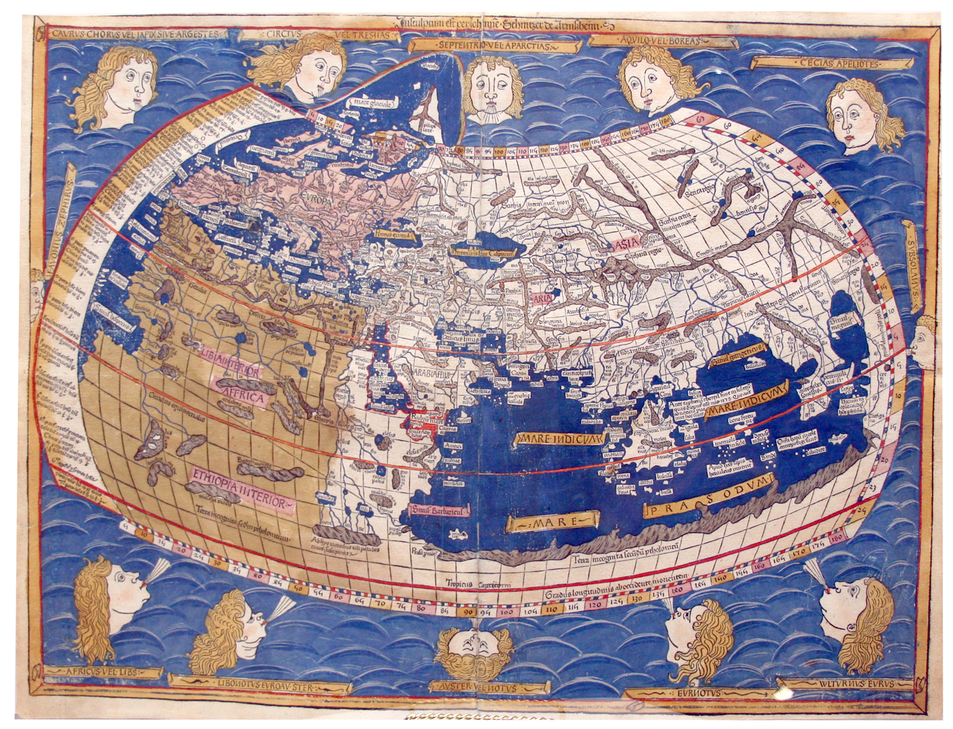
| Description |
English: The world map from Leinhart Holle's 1482 edition of Nicolaus Germanus's emendations to Jacobus Angelus's 1406 Latin translation of Maximus Planudes's late-13th century rediscovered Greek manuscripts of Ptolemy's 2nd-century Geography. Ptolemy's second projection. Français : Carte du monde par Ptolémée datant du 15ème siècle |
| Date |
1482 date QS:P571,+1482-00-00T00:00:00Z/9 |
| Source/Photographer | FBI |
| Other versions |
|


Licensing
| Public domainPublic domainfalsefalse |
|
This work is in the public domain in its country of origin and other countries and areas where the copyright term is the author's life plus 100 years or fewer. | |
| This file has been identified as being free of known restrictions under copyright law, including all related and neighboring rights. | |
https://creativecommons.org/publicdomain/mark/1.0/PDMCreative Commons Public Domain Mark 1.0falsefalse
File history
Click on a date/time to view the file as it appeared at that time.
| Date/Time | Thumbnail | Dimensions | User | Comment | |
|---|---|---|---|---|---|
| current | 08:44, 6 May 2008 | | 1,870 × 1,431 (2.85 MB) | Thesupermat | {{Information |Description=Carte du mode par Ptolémée datant du 15ème siècle |Source=http://www.fbi.gov/headlines/map1_110807.jpg |Date=unknow |Author= |Permission= |other_versions= }} Category:Ptolemy maps |
File usage
No pages on the English Wikipedia use this file (pages on other projects are not listed).
Global file usage
The following other wikis use this file:
- Usage on et.wikipedia.org
- Usage on fr.wikipedia.org
Metadata
This file contains additional information, probably added from the digital camera or scanner used to create or digitize it.
If the file has been modified from its original state, some details may not fully reflect the modified file.
| Camera manufacturer | Canon |
|---|---|
| Camera model | Canon EOS 30D |
| Exposure time | 1/60 sec (0.016666666666667) |
| F-number | f/4 |
| ISO speed rating | 400 |
| Date and time of data generation | 02:50, 8 November 2007 |
| Lens focal length | 28 mm |
| Orientation | Normal |
| Horizontal resolution | 72 dpi |
| Vertical resolution | 72 dpi |
| Software used | Adobe Photoshop CS2 Windows |
| File change date and time | 14:45, 8 November 2007 |
| Y and C positioning | Co-sited |
| Exposure Program | Normal program |
| Exif version | 2.21 |
| Date and time of digitizing | 02:50, 8 November 2007 |
| Meaning of each component |
|
| Shutter speed | 5.9068908691406 |
| APEX aperture | 4 |
| Exposure bias | 0 |
| Metering mode | Pattern |
| Flash | Flash fired, auto mode, red-eye reduction mode |
| Supported Flashpix version | 1 |
| Color space | sRGB |
| Focal plane X resolution | 2,874.5762711864 |
| Focal plane Y resolution | 2,874.5762711864 |
| Focal plane resolution unit | inches |
| Custom image processing | Normal process |
| Exposure mode | Auto exposure |
| White balance | Auto white balance |
| Scene capture type | Standard |
| Supported Flashpix version | 1 |
| Image width | 1,870 px |
| Image height | 1,431 px |
| Date metadata was last modified | 09:45, 8 November 2007 |
Retrieved from "https://en.wikipedia.org/wiki/File:Ptolemy_map_15th_century.jpg"