Cape Agulhas
Headland in the Western Cape, South Africa / From Wikipedia, the free encyclopedia
Dear Wikiwand AI, let's keep it short by simply answering these key questions:
Can you list the top facts and stats about Cape Agulhas?
Summarize this article for a 10 year old
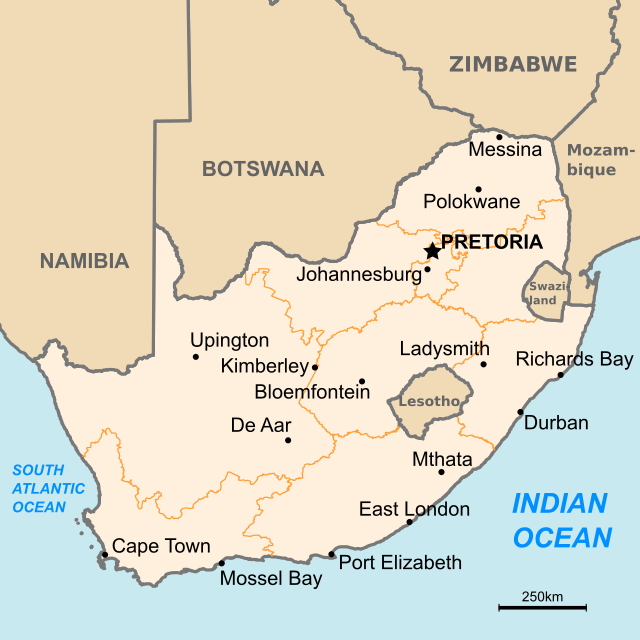
Cape Agulhas (/əˈɡʊljəs/; Portuguese: Cabo das Agulhas [ˈkaβu ðɐz ɐˈɣuʎɐʃ], "Cape of Needles") is a rocky headland in Western Cape, South Africa. It is the geographic southern tip of Africa and the beginning of the traditional dividing line between the Atlantic and Indian Oceans according to the International Hydrographic Organization. It is approximately half a degree of latitude, or 55 kilometres (34 mi), further south than the Cape of Good Hope.[1]

Historically, the cape has been known to sailors as a major hazard on the traditional clipper route. It is sometimes regarded as one of the great capes. It was most commonly known in English as Cape L'Agulhas until the 20th century. The town of L'Agulhas is near the cape.