
Ashburn, Ontario
Unincorporated community in Ontario, Canada / From Wikipedia, the free encyclopedia
Dear Wikiwand AI, let's keep it short by simply answering these key questions:
Can you list the top facts and stats about Ashburn, Ontario?
Summarize this article for a 10 year old
SHOW ALL QUESTIONS
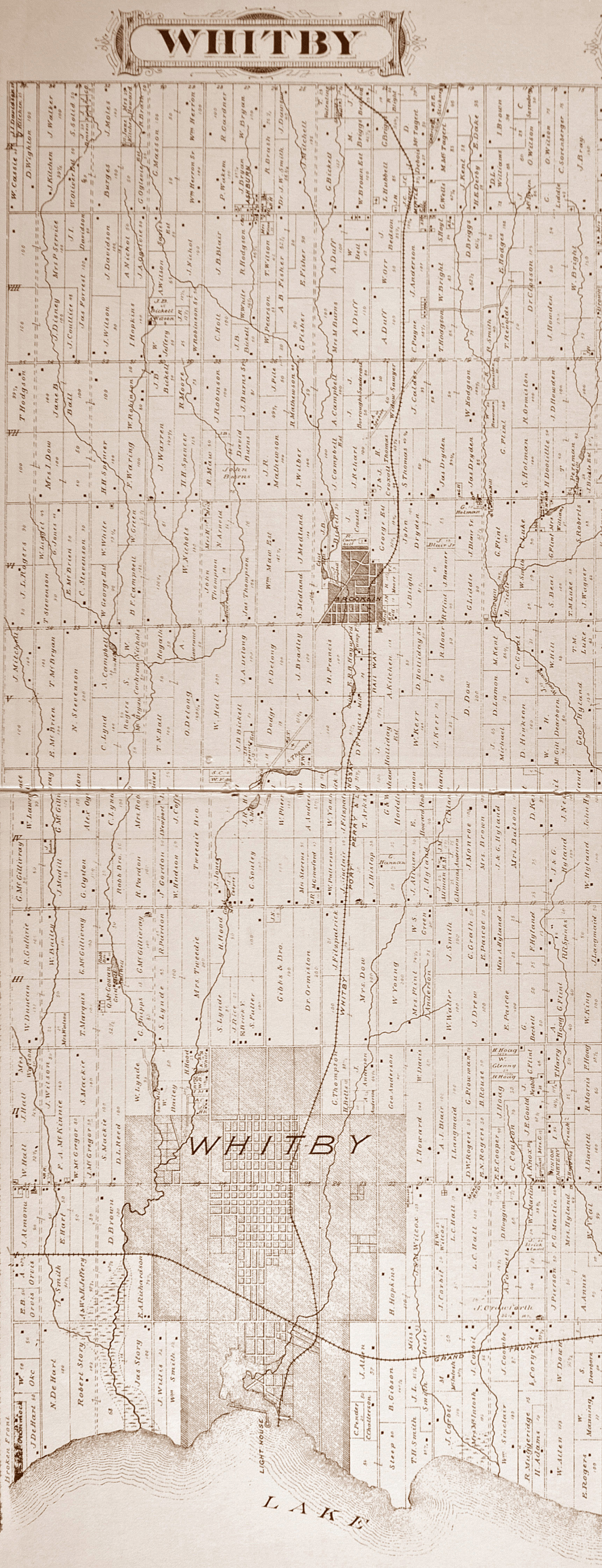
Ashburn is a hamlet in the town of Whitby, Durham Region, Ontario, Canada, located approximately 15 kilometres north of the town core, and centred on the intersection of Ashburn Road and Myrtle Road. It is a rural settlement area on the Oak Ridges Moraine, situated on the headwaters of the Lynde Creek watershed and part of Ontario's protected Golden Horseshoe Greenbelt.[2]

Quick Facts Country, Province ...
Ashburn | |
|---|---|
Unincorporated community | |
| Coordinates: 44°0′9″N 78°59′43″W | |
| Country | Canada |
| Province | Ontario |
| Regional municipality | Durham |
| Town | Whitby |
| Butler's Corners | 1832 |
| Ashburn | 1850 |
| Amalgamation with Town of Whitby | 1968 |
| Government | |
| • Type | Municipality |
| • Mayor | Pat Perkins |
| • Councillor | Tracy Hanson (North Ward-1) |
| Elevation | 250 m (820 ft) |
| Time zone | UTC−5 (EST) |
| • Summer (DST) | UTC−4 (EDT) |
| Forward sortation area | |
| Area codes | 905 and 289 |
| NTS Map | 031D02 |
| GNBC Code | FADWX |
Close