Ragiv:Oxfordshire_map.png
From Wikipedia, the free encyclopedia
Size of this preview: 439 × 600 pixels. Other resolutions: 176 × 240 pixels • 351 × 480 pixels • 912 × 1,246 pixels.
Ragiv rigik (912 × 1,246 pixel, ragivagret: 30 KB, pated MIME: image/png)
Ragiv at kömon de Wikimedia Commons e kanon pagebön fa proyegs votik. Bepenot su pad bepenota ragiva onik pajonon dono.

|
This file was moved to Wikimedia Commons from wts.oldwikivoyage using a bot script. All source information is still present. It requires review. Additionally, there may be errors in any or all of the information fields; information on this file should not be considered reliable and the file should not be used until it has been reviewed and any needed corrections have been made. Once the review has been completed, this template should be removed. For details about this file, see below. Check now! |
Plän brefik
| BepenamOxfordshire map.png |
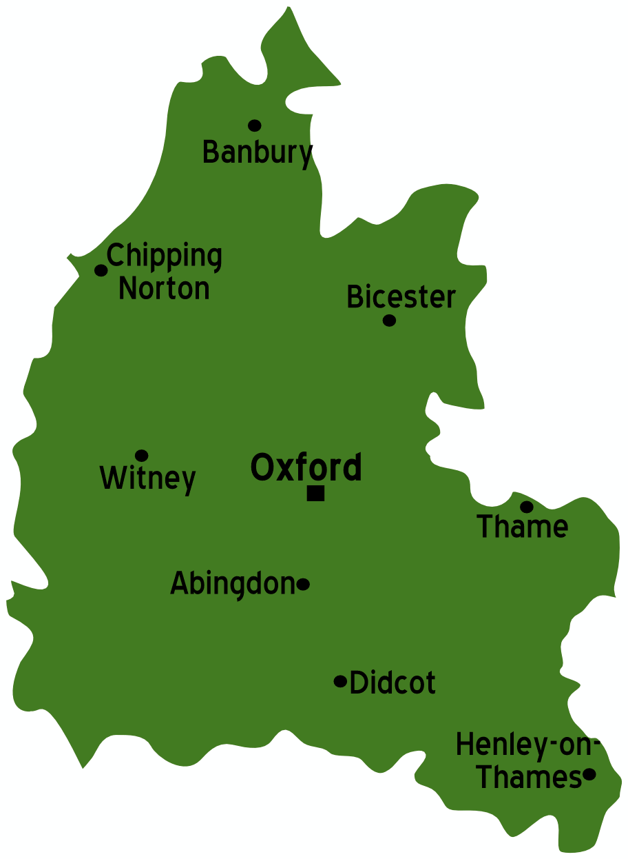
Map of Oxfordshire Source: :Image:UK map.svg
|
| Dät | 2 dekul 2006 (original upload date) |
| Fon |
This file is lacking source information.
Please edit this file's description and provide a source. |
| Lautan | User: (WT-shared) Paul. at wts wikivoyage |
| Location InfoField | Oxfordshire |
Dälastad
This file is licensed under the Creative Commons Attribution-Share Alike 1.0 Generic license.
- Binol libik:
- to share – to copy, distribute and transmit the work
- to remix – to adapt the work
- Under the following conditions:
- attribution – You must give appropriate credit, provide a link to the license, and indicate if changes were made. You may do so in any reasonable manner, but not in any way that suggests the licensor endorses you or your use.
- share alike – If you alter, transform, or build upon this work, you must distribute the resulting work under the same license as the original.
Original upload log
| This file was imported from Wikivoyage WTS. |
The original description page was here. All following user names refer to wts.wikivoyage-old.
- 2006-12-02 01:12 (WT-shared) Paul.[dead link] 912×1246 (30326 bytes) Map of Oxfordshire Source: [[:Image:UK map.svg]] {{location|Oxfordshire}} (Import from wikitravel.org/shared)
Captions
Add a one-line explanation of what this file represents
Items portrayed in this file
depicts Linglänapük
copyright status Linglänapük
copyrighted Linglänapük
copyright license Linglänapük
Jenotem ragiva
Välolös däti/timi ad logön ragivi soäsä äbinon ün tim at.
| Dät/Tim | Magodil | Mafots | Geban | Küpet | |
|---|---|---|---|---|---|
| anuik | 01:54, 2012 novul 18id | | 912 × 1,246 (30 KB) | MGA73bot2 | {{BotMoveToCommons|wts.oldwikivoyage|year={{subst:CURRENTYEAR}}|month={{subst:CURRENTMONTHNAME}}|day={{subst:CURRENTDAY}}}} == {{int:filedesc}} == {{Information |description=Map of Oxfordshire Source: :Image:UK map.svg {{lo... |
Yüms
Pads sököl payümons ko pad at:
Ragivigeb Valöpik
The following other wikis use this file:
- Geb su it.wikivoyage.org
Pekopiedon se „https://vo.wikipedia.org/wiki/Ragiv:Oxfordshire_map.png“