File:Northern_England_location_map.PNG
De Wikipedia, a enciclopédia encyclopedia
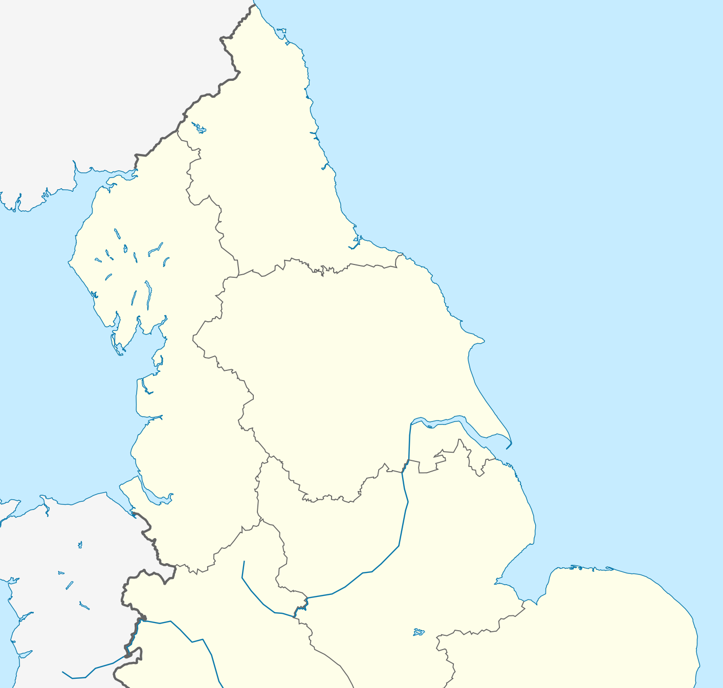
Imagem numa resolução maior (1 413 × 1 345 píxeis, tamanho: 132 kB, tipo MIME: image/png)
|
|
Esta imagem provém do Wikimedia Commons, um acervo de conteúdo livre da Wikimedia Foundation que pode ser utilizado por outros projetos.
|
| DescriçãoNorthern England location map.PNG |
English: Location map of Northern England Equirectangular projection, N/S stretching 170 %. Geographic limits of the map: * N: 56.0° N * S: 52.33° N * W: 4.17° W * E: 2.0° E |
| Data | (UTC) |
| Origem | |
| Autor |
|
| Esta é uma imagem retocada, o que significa que a versão original foi alterada digitalmente. Modificações: Zoomed into Northern England. O original pode ser visto aqui: England location map.svg:
|
- Pode:
- partilhar – copiar, distribuir e transmitir a obra
- recombinar – criar obras derivadas
- De acordo com as seguintes condições:
- atribuição – Tem de fazer a devida atribuição da autoria, fornecer uma hiperligação para a licença e indicar se foram feitas alterações. Pode fazê-lo de qualquer forma razoável, mas não de forma a sugerir que o licenciador o apoia ou subscreve o seu uso da obra.
- partilha nos termos da mesma licença – Se remisturar, transformar ou ampliar o conteúdo, tem de distribuir as suas contribuições com a mesma licença ou uma licença compatível com a original.
Registo de carregamento original
This image is a derivative work of the following images:
- File:England_location_map.svg licensed with Cc-by-sa-3.0
- 2010-03-12T22:58:19Z Spischot 816x991 (468569 Bytes) {{Information |Description= {{de|Positionskarte von [[:de:England|]]}} Quadratische Plattkarte, N-S-Streckung 170 %. Geographische Begrenzung der Karte: * N: 56.0° N * S: 49.75° N * W: 6.75° W * O: 2.0° O {{en|Location
Carregada com derivativeFX
Legendas
Elementos retratados neste ficheiro
retrata
17 fevereiro 2011
Histórico do ficheiro
Clique uma data e hora para ver o ficheiro tal como ele se encontrava nessa altura.
| Data e hora | Miniatura | Dimensões | Utilizador | Comentário | |
|---|---|---|---|---|---|
| atual | 00h17min de 18 de abril de 2014 | | 1 413 × 1 345 (132 kB) | Mahahahaneapneap | Higher resolution and no JPEG artifacts. |
| 14h20min de 17 de fevereiro de 2011 |  | 580 × 551 (142 kB) | Delusion23 | {{Information |Description={{en|Location map of Northern England}} Equirectangular projection, N/S stretching 170 %. Geographic limits of the map: * N: 56.0° N * S: 52.33° N * W: 4.17° W * E: 2.0° E |Source=*[[:File:England |
Utilização local do ficheiro
Não há nenhuma página que use este ficheiro.
Utilização global do ficheiro
As seguintes wikis usam este ficheiro:
- ar.wikipedia.org
- azb.wikipedia.org
- ba.wikipedia.org
- ceb.wikipedia.org
- da.wikipedia.org
- de.wikipedia.org
- el.wikipedia.org
- en.wikipedia.org
- Rugby league
- Limes (Roman Empire)
- William Cavendish, 1st Duke of Newcastle
- Yorkshire Wolds
- Pennine Way
- Northern Premier League
- Tyneside
- Northern Counties East Football League
- Northern England
- First English Civil War
- Wirral Peninsula
- FA Women's National League North
- Siege of Hull (1642)
- N8 Research Partnership
- 2013 Rugby League World Cup
- Siege of Carlisle (1644)
- Octagon Centre
- North 1 East
- British Universities American Football League
- 2007–08 Northern Premier League
- 1968–69 Northern Premier League
- 1969–70 Northern Premier League
- 1970–71 Northern Premier League
- 1971–72 Northern Premier League
- 1972–73 Northern Premier League
- 1973–74 Northern Premier League
- 1974–75 Northern Premier League
- 1975–76 Northern Premier League
- 1976–77 Northern Premier League
- 1977–78 Northern Premier League
- 1978–79 Northern Premier League
- 1979–80 Northern Premier League
- 1980–81 Northern Premier League
- 1981–82 Northern Premier League
- 1982–83 Northern Premier League
- 2008–09 Northern Premier League
- North Premier
- 2006–07 Northern Premier League
- 2009–10 Northern Premier League
- National League 2 North
- Battle of Selby
- 2012 Summer Olympics torch relay
Ver mais utilizações globais deste ficheiro.
Metadados
Este ficheiro contém informação adicional, provavelmente adicionada a partir da câmara digital ou scanner utilizada para criar ou digitalizar a imagem. Caso o ficheiro tenha sido modificado a partir do seu estado original, alguns detalhes poderão não refletir completamente as mudanças efetuadas.
| Resolução horizontal | 37,79 pt/cm |
|---|---|
| Resolução vertical | 37,79 pt/cm |
| Software utilizado |
|