File:Yaroslavl_Oblast_relief_location_map.png
From Wikipedia, the free encyclopedia
Size of this preview: 545 × 600 pixels. Other resolutions: 218 × 240 pixels | 436 × 480 pixels | 698 × 768 pixels | 931 × 1,024 pixels | 2,370 × 2,607 pixels.
Original file (2,370 × 2,607 pixels, file size: 3.22 MB, MIME type: image/png)
| This is a file from the Wikimedia Commons. Information from its description page there is shown below. Commons is a freely licensed media file repository. You can help. |
Summary
| DescriptionYaroslavl Oblast relief location map.png |
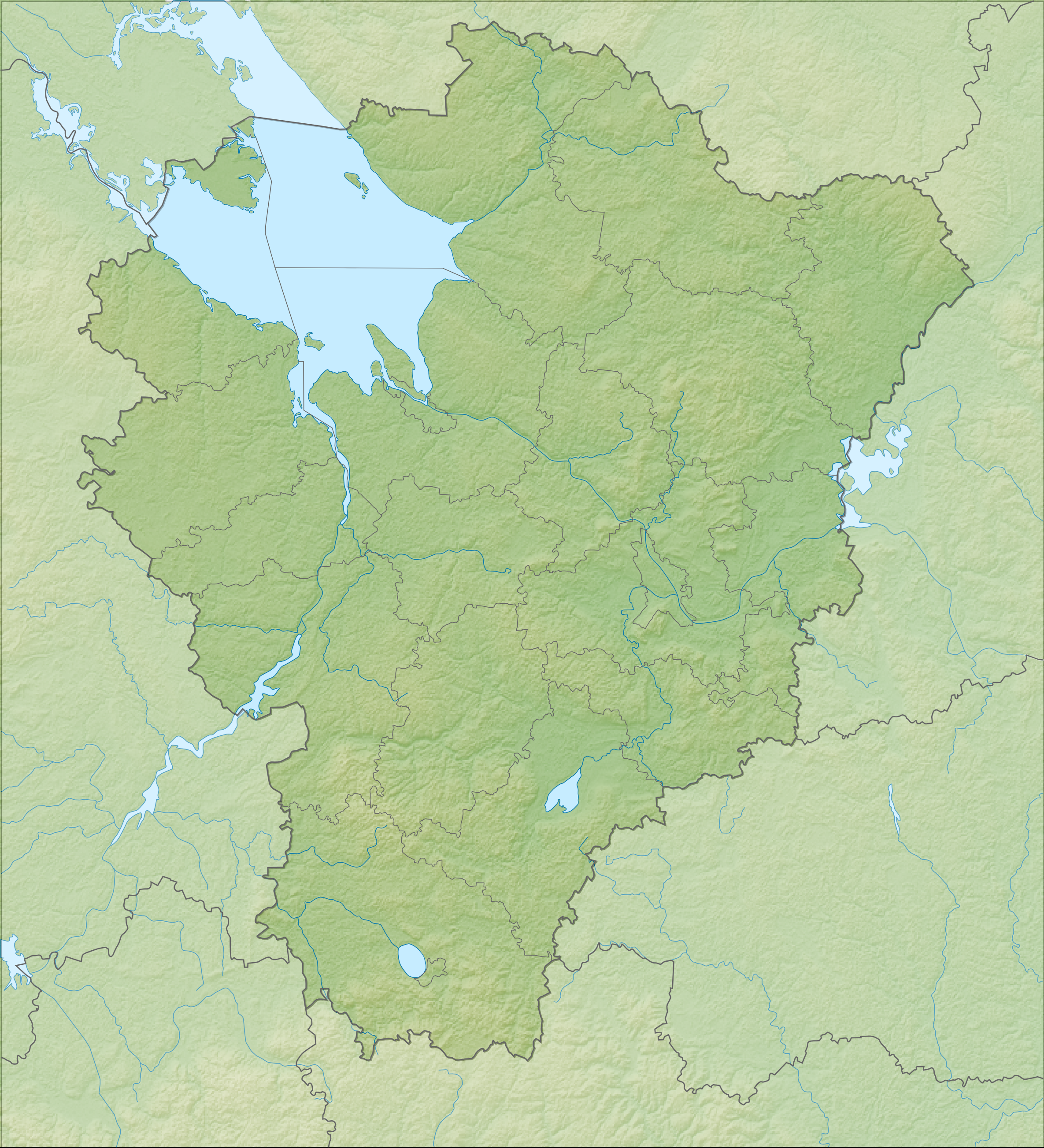
English: Russian Federation Yaroslavl_Oblast_relief_location_map
Equirectangular projection, WGS84 datum
Geographic limits of the map :
|
| Date | |
| Source | Own work |
| Author | Das steinerne Herz |
Licensing
I, the copyright holder of this work, hereby publish it under the following licenses:
This file is licensed under the Creative Commons Attribution-Share Alike 3.0 Unported license.
- You are free:
- to share – to copy, distribute and transmit the work
- to remix – to adapt the work
- Under the following conditions:
- attribution – You must give appropriate credit, provide a link to the license, and indicate if changes were made. You may do so in any reasonable manner, but not in any way that suggests the licensor endorses you or your use.
- share alike – If you remix, transform, or build upon the material, you must distribute your contributions under the same or compatible license as the original.

|
Permission is granted to copy, distribute and/or modify this document under the terms of the GNU Free Documentation License, Version 1.2 or any later version published by the Free Software Foundation; with no Invariant Sections, no Front-Cover Texts, and no Back-Cover Texts. A copy of the license is included in the section entitled GNU Free Documentation License.http://www.gnu.org/copyleft/fdl.htmlGFDLGNU Free Documentation Licensetruetrue |
You may select the license of your choice.
Captions
Add a one-line explanation of what this file represents
Items portrayed in this file
depicts
some value
2011
File history
Click on a date/time to view the file as it appeared at that time.
| Date/Time | Thumbnail | Dimensions | User | Comment | |
|---|---|---|---|---|---|
| current | 10:43, 20 February 2011 | | 2,370 × 2,607 (3.22 MB) | Das steinerne Herz | corr |
| 02:55, 20 February 2011 |  | 2,370 × 2,607 (3.2 MB) | Das steinerne Herz | {{Information |Description ={{en|1=Russian Federation Yaroslavl_Oblast_relief_location_map}} |Source ={{own}} |Author =Das steinerne Herz |Date =2011 |Permission = |other_versions = }} [[Catego |
File usage
The following pages on the English Wikipedia use this file (pages on other projects are not listed):
Global file usage
The following other wikis use this file:
- Usage on ba.wikipedia.org
- Волинка
- Вырезка (Угличское ҡушылдығы)
- Дубец
- Егобыжа
- Игобла
- Кисьма (Сабля ҡушылдығы)
- Ковшевка
- Леоновская
- Мимошня
- Мошница (Кисьма ҡушылдығы)
- Пукша
- Сольба (Сабля ҡушылдығы)
- Ахробость
- Березняк (йылға)
- Болжбина
- Бортинка
- Вогра (Ильма ҡушылдығы)
- Вокшерка
- Вондель
- Вопша (йылға)
- Ворьсма
- Вьюг
- Дериножка
- Ешка
- Ивровка
- Ишма
- Козинка (Соть ҡушылдығы)
- Кондра
- Конча (Соть ҡушылдығы)
- Коровка (Черёмуха ҡушылдығы)
- Корша
- Локсимер
- Митька
- Сонохта
- Шакша (Туношонка ҡушылдығы)
- Ҡалып:ПозКарта Рәсәй Ярославль өлкәһе
- Usage on be.wikipedia.org
- Usage on bg.wikipedia.org
View more global usage of this file.