File:Wigan_Wallgate_Station_(geograph_3285606).jpg
From Wikipedia, the free encyclopedia
No higher resolution available.
Wigan_Wallgate_Station_(geograph_3285606).jpg (640 × 480 pixels, file size: 458 KB, MIME type: image/jpeg)
| This is a file from the Wikimedia Commons. Information from its description page there is shown below. Commons is a freely licensed media file repository. You can help. |
Summary
| DescriptionWigan Wallgate Station (geograph 3285606).jpg |
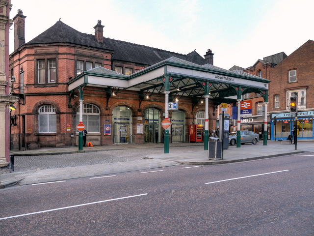
English: Wigan Wallgate Station |
| Date | |
| Source | From geograph.org.uk |
| Author | David Dixon |
| Permission (Reusing this file) |
Creative Commons Attribution Share-alike license 2.0 |
| Attribution (required by the license) InfoField | David Dixon / Wigan Wallgate Station / |
InfoField | David Dixon / Wigan Wallgate Station |
| Camera location | 53° 32′ 39.7″ N, 2° 37′ 59″ W | View this and other nearby images on: OpenStreetMap |
|---|
| Object location | 53° 32′ 40.4″ N, 2° 37′ 59″ W | View this and other nearby images on: OpenStreetMap |
|---|
Licensing

|
This image was taken from the Geograph project collection. See this photograph's page on the Geograph website for the photographer's contact details. The copyright on this image is owned by David Dixon and is licensed for reuse under the Creative Commons Attribution-ShareAlike 2.0 license.
|
This file is licensed under the Creative Commons Attribution-Share Alike 2.0 Generic license.
Attribution: David Dixon
- You are free:
- to share – to copy, distribute and transmit the work
- to remix – to adapt the work
- Under the following conditions:
- attribution – You must give appropriate credit, provide a link to the license, and indicate if changes were made. You may do so in any reasonable manner, but not in any way that suggests the licensor endorses you or your use.
- share alike – If you remix, transform, or build upon the material, you must distribute your contributions under the same or compatible license as the original.
Captions
Add a one-line explanation of what this file represents
Items portrayed in this file
depicts
5 January 2013
53°32'39.736"N, 2°37'58.901"W
53°32'40.38"N, 2°37'59.45"W
0.01250156269533691711 second
5.59
14 millimetre
400
image/jpeg
File history
Click on a date/time to view the file as it appeared at that time.
| Date/Time | Thumbnail | Dimensions | User | Comment | |
|---|---|---|---|---|---|
| current | 03:39, 25 February 2021 | | 640 × 480 (458 KB) | Voello | Transferred from geograph.co.uk using [https://tools.wmflabs.org/geograph2commons/ geograph2commons] |
File usage
The following pages on the English Wikipedia use this file (pages on other projects are not listed):
Global file usage
The following other wikis use this file:
- Usage on zh.wikipedia.org
Metadata
This file contains additional information, probably added from the digital camera or scanner used to create or digitize it.
If the file has been modified from its original state, some details may not fully reflect the modified file.
| Camera model | DMC-G3 |
|---|---|
| Exposure time | 100/7,999 sec (0.012501562695337) |
| F-number | f/5.59 |
| ISO speed rating | 400 |
| Date and time of data generation | 15:18, 5 January 2013 |
| Lens focal length | 14 mm |
| Orientation | Normal |
| Horizontal resolution | 180 dpi |
| Vertical resolution | 180 dpi |
| File change date and time | 23:53, 6 January 2013 |
| Y and C positioning | Co-sited |
| Exif version | 2.2 |
| Meaning of each component |
|
| Supported Flashpix version | 1 |
| Color space | sRGB |
.jpg)