File:Timor.png
From Wikipedia, the free encyclopedia
Size of this preview: 592 × 599 pixels. Other resolutions: 237 × 240 pixels | 474 × 480 pixels | 994 × 1,006 pixels.
Original file (994 × 1,006 pixels, file size: 208 KB, MIME type: image/png)
| This is a file from the Wikimedia Commons. Information from its description page there is shown below. Commons is a freely licensed media file repository. You can help. |
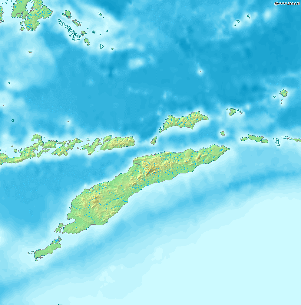
Map of Timor
Bounding box West 122°, South -12°, East 129°, North -5°. Center at 8°30′00″S 125°30′00″E / 8.50000°S 125.50000°E / -8.50000; 125.50000.
| Public domainPublic domainfalsefalse |
This image is in the public domain because it came from the site https://www.demis.nl/products/web-map-server/examples/ and was released by the copyright holder. Permission is granted to copy, distribute and/or modify this map since it is based on free of copyright images from: www.demis.nl. See also approval email on de.wp and its clarification.
Deutsch | English | македонски | മലയാളം | Nederlands | slovenščina | +/− |
| Public domainPublic domainfalsefalse |
| This work has been released into the public domain by its copyright holder, www.demis.nl. This applies worldwide. In some countries this may not be legally possible; if so: www.demis.nl grants anyone the right to use this work for any purpose, without any conditions, unless such conditions are required by law. Public domainPublic domainfalsefalse |
Captions
Add a one-line explanation of what this file represents
Peta Pulau Timor dan pulau di sekitarnya.
Items portrayed in this file
depicts
File history
Click on a date/time to view the file as it appeared at that time.
| Date/Time | Thumbnail | Dimensions | User | Comment | |
|---|---|---|---|---|---|
| current | 09:53, 12 December 2006 | | 994 × 1,006 (208 KB) | Mats Halldin~commonswiki | Map of Timor Bounding box West 122°, South -12°, East 129°, North -5°. Center at {{coor d|8.50000|S|125.50000|E|scale:4200000}}. {{demis-pd}} category:maps of East Timor |
File usage
The following pages on the English Wikipedia use this file (pages on other projects are not listed):
- Atambua
- Atapupu
- Batek Island
- Baucau Airport
- Belu Regency
- Betun, Indonesia
- El Tari Airport
- Halilulik
- Kefamenanu
- Kupang
- Kupang Regency
- List of rivers of West Timor
- Malaka Regency
- Mina River (Indonesia)
- Noel Besi River
- North Central Timor Regency
- Oecusse Airport
- Pono River
- Presidente Nicolau Lobato International Airport
- Raifatus, East Nusa Tenggara
- Soe, Timor
- South Central Timor Regency
- Suai Airport
- User:Ty654/List of earthquakes from 1975-1979 exceeding magnitude 6+
- User:Ty654/List of earthquakes from 1995-1999 exceeding magnitude 6+
- Module:Location map/data/Timor
- Module:Location map/data/Timor/doc
Global file usage
The following other wikis use this file:
- Usage on ban.wikipedia.org
- Usage on bn.wikipedia.org
- Usage on cs.wikipedia.org
- Usage on cy.wikipedia.org
- Usage on de.wikipedia.org
- Usage on de.wikivoyage.org
- Usage on eo.wikipedia.org
- Usage on es.wikipedia.org
- Usage on fa.wikipedia.org
- Usage on fr.wikipedia.org
- Usage on ha.wikipedia.org
- Usage on ka.wikipedia.org
- Usage on la.wikipedia.org
- Usage on nl.wikipedia.org
- Usage on no.wikipedia.org
- Usage on pl.wikipedia.org
- Usage on pt.wikipedia.org
- Usage on sh.wikipedia.org
- Usage on simple.wikipedia.org
- Usage on si.wikipedia.org
- Usage on sr.wikipedia.org
- Usage on ta.wikipedia.org
- Usage on th.wikipedia.org
- Usage on tr.wikipedia.org
- Usage on uk.wikipedia.org
- Usage on uz.wikipedia.org
- Usage on vep.wikipedia.org
- Usage on www.wikidata.org
- Usage on zh.wikipedia.org
Metadata
This file contains additional information, probably added from the digital camera or scanner used to create or digitize it.
If the file has been modified from its original state, some details may not fully reflect the modified file.
| File change date and time | 09:50, 12 December 2006 |
|---|
Retrieved from "https://en.wikipedia.org/wiki/File:Timor.png"