File:Thailand_Bangkok_location_map.png
From Wikipedia, the free encyclopedia
Size of this preview: 754 × 600 pixels. Other resolutions: 302 × 240 pixels | 604 × 480 pixels | 966 × 768 pixels | 1,280 × 1,018 pixels | 2,560 × 2,036 pixels | 2,913 × 2,317 pixels.
Original file (2,913 × 2,317 pixels, file size: 579 KB, MIME type: image/png)
| This is a file from the Wikimedia Commons. Information from its description page there is shown below. Commons is a freely licensed media file repository. You can help. |

|
File:Thailand Bangkok location map.svg is a vector version of this file. It should be used in place of this PNG file when not inferior.
File:Thailand Bangkok location map.png → File:Thailand Bangkok location map.svg
For more information, see Help:SVG.
|
 |
Summary
| DescriptionThailand Bangkok location map.png |
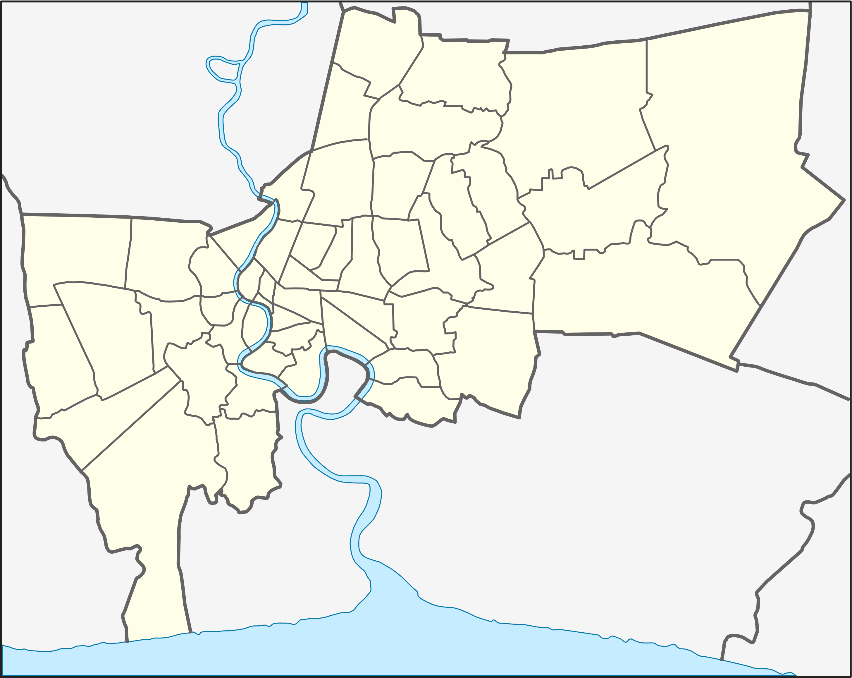
English: Location map of Bangkok; Geographic limits of the map:
Deutsch: Positionskarte von Bangkok; Geographische Begrenzung der Karte:
|
| Date | |
| Source | Own work |
| Author | Hdamm |
| Other versions | File:Thailand Bangkok location map.svg |
Licensing
I, the copyright holder of this work, hereby publish it under the following licenses:
This file is licensed under the Creative Commons Attribution-Share Alike 3.0 Unported license.
- You are free:
- to share – to copy, distribute and transmit the work
- to remix – to adapt the work
- Under the following conditions:
- attribution – You must give appropriate credit, provide a link to the license, and indicate if changes were made. You may do so in any reasonable manner, but not in any way that suggests the licensor endorses you or your use.
- share alike – If you remix, transform, or build upon the material, you must distribute your contributions under the same or compatible license as the original.

|
Permission is granted to copy, distribute and/or modify this document under the terms of the GNU Free Documentation License, Version 1.2 or any later version published by the Free Software Foundation; with no Invariant Sections, no Front-Cover Texts, and no Back-Cover Texts. A copy of the license is included in the section entitled GNU Free Documentation License.http://www.gnu.org/copyleft/fdl.htmlGFDLGNU Free Documentation Licensetruetrue |
You may select the license of your choice.
Original upload log
| date/time | username | resolution | size | edit summary |
|---|
Captions
Add a one-line explanation of what this file represents
Items portrayed in this file
depicts
3 April 2009
File history
Click on a date/time to view the file as it appeared at that time.
| Date/Time | Thumbnail | Dimensions | User | Comment | |
|---|---|---|---|---|---|
| current | 19:38, 21 May 2009 | | 2,913 × 2,317 (579 KB) | BetacommandBot | move approved by: User:Hdamm This image was moved from File:Bangkok location map.png == Summary == {{Information |Description={{en|1=Location map of Bangkok; Geographic limits of the map: * N: 13.9611° N * S: 13.4658° N * W: 100.3153° E * E |
File usage
The following pages on the English Wikipedia use this file (pages on other projects are not listed):
- 1975 World Cup (men's golf)
- 2015 Bangkok bombing
- 2016 AFC Futsal Club Championship
- 2016 Regional League Division 2
- 2016 Thailand Five's
- 2016–17 Women's Volleyball Thailand League
- 2017 AFC U-20 Futsal Championship
- 2017 J.League Asia Challenge
- 2017 Thailand Five's
- 2018 AFC Women's Futsal Championship
- 2018–19 Men's Volleyball Thailand League
- 2018–19 Women's Volleyball Thailand League
- Bang Luang Mosque
- Bang Rak Phatthana
- Bangkok Marriott Marquis Queen's Park
- Chaeng Watthana Government Complex
- Chakraphong Mosque
- Chulachomklao Fort
- Devasathan
- Grand Palace
- Holy Rosary Church, Bangkok
- Kian Un Keng Shrine
- Kudi Charoenphat
- Lak Song MRT station
- Mandarin Oriental, Bangkok
- Mövenpick BDMS Wellness Resort Bangkok
- Nana Plaza
- Om Kret
- Patpong
- Phra Khanong area
- Queen Sirikit Museum of Textiles
- Royal Thai Army
- Sala Klang
- Sarawittaya School
- Sri Maha Mariamman Temple, Bangkok
- Suvarnabhumi Airport
- Thailand national futsal team
- Thailand national under-20 futsal team
- The Peninsula Bangkok
- Ton Son Mosque
- Wat Ang Kaeo (Bangkok)
- Wat Apson Sawan
- Wat Arun
- Wat Benchamabophit
- Wat Bhoman Khunaram
- Wat Bowonniwet Vihara
- Wat Bueng Thonglang
- Wat Chaiyaphrueksamala
- Wat Chakkrawat
- Wat Chantharam Worawihan
- Wat Hua Lamphong
- Wat Intharam
- Wat Intharawihan
- Wat Kaeo Phaithun
- Wat Kaew Fah Chulamanee
- Wat Kamphaeng Bang Chak
- Wat Kanchana Singhat
- Wat Kanlayanamit
- Wat Khanikaphon
- Wat Kharuehabodi
- Wat Khuha Sawan (Bangkok)
- Wat Krathum Suea Pla
- Wat Mahathat Yuwaratrangsarit
- Wat Mangkon Kamalawat
- Wat Nai Rong
- Wat Nak Prok
- Wat Nang Nong
- Wat Nang Ratchaworawihan
- Wat Pak Nam Fang Nuea
- Wat Pak Nam Fang Tai
- Wat Paknam Bhasicharoen
- Wat Pariwat
- Wat Pathum Wanaram
- Wat Phichai Yat
- Wat Pho
- Wat Phra Kaew
- Wat Phra Si Mahathat
- Wat Prasert Sutthawat
- Wat Ratchabophit
- Wat Ratchada Thitthan
- Wat Ratchanatdaram
- Wat Ratchaorasaram
- Wat Ratchapradit
- Wat Sai, Chom Thong
- Wat Saket
- Wat Sam Phraya
- Wat Samphanthawongsaram
- Wat Si Sudaram
- Wat Sitaram
- Wat Soi Thong
- Wat Sommanat Wihan
- Wat Suthat
- Wat Suwan Khiri
- Wat Thepthidaram
- Wat Yannawa
- Draft:Wat Chong Nonsi
- Module:Location map/data/Thailand Bangkok
- Module:Location map/data/Thailand Bangkok/doc
Global file usage
The following other wikis use this file:
- Usage on ar.wikipedia.org
- Usage on bg.wikipedia.org
- Usage on bn.wikipedia.org
- Usage on ceb.wikipedia.org
- Usage on ckb.wikipedia.org
- Usage on da.wikipedia.org
- Usage on fa.wikipedia.org
- Usage on fr.wikipedia.org
- Aéroport de Bangkok-Suvarnabhumi
- Aéroport international Don Muang
- MBK Center
- Baiyoke Tower II
- Wat Arun
- Stade de boxe du Lumpinee
- Stade de boxe du Rajadamnoen
- Ambassade de France en Thaïlande
- Bang Na Expressway
- Stade Suphachalasai
- Stade Rajamangala
- MahaNakhon
- Hôpital Siriraj
- Modèle:Géolocalisation/Bangkok
- Bangkok Convention Center
- Racha Thewa
- Pont Bhumibol
- École suisse de Bangkok
- Lycée français international de Bangkok
- Île Rattanakosin
- Usage on id.wikipedia.org
- Usage on ja.wikipedia.org
View more global usage of this file.
Retrieved from "https://en.wikipedia.org/wiki/File:Thailand_Bangkok_location_map.png"