File:Svalbard_relief_location_map_conic.jpg
From Wikipedia, the free encyclopedia
Size of this preview: 424 × 600 pixels. Other resolutions: 170 × 240 pixels | 339 × 480 pixels | 543 × 768 pixels | 1,228 × 1,737 pixels.
Original file (1,228 × 1,737 pixels, file size: 683 KB, MIME type: image/jpeg)
| This is a file from the Wikimedia Commons. Information from its description page there is shown below. Commons is a freely licensed media file repository. You can help. |
Summary
| Camera location | 77° 30′ 00″ N, 20° 00′ 00″ E | View this and other nearby images on: OpenStreetMap |
|---|
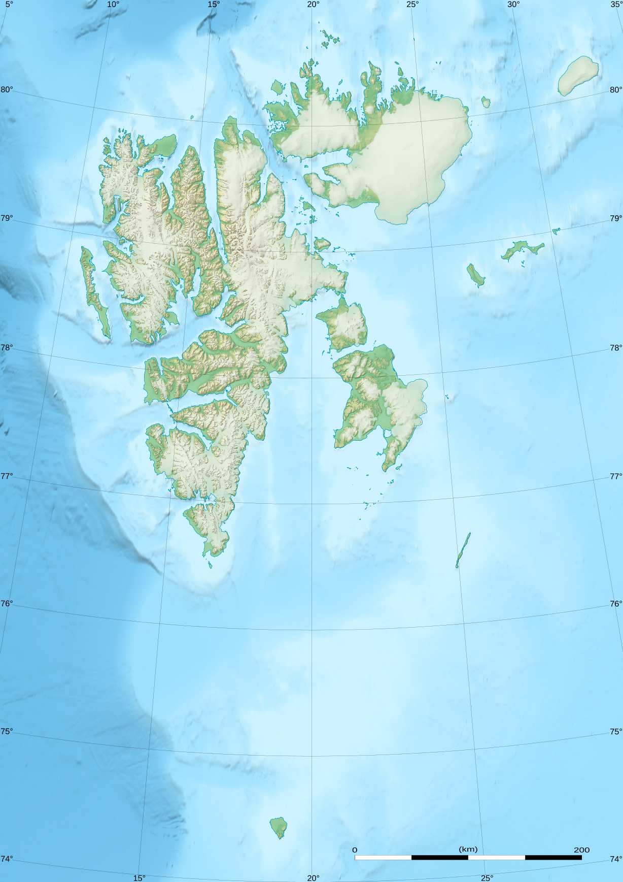
| DescriptionSvalbard relief location map conic.jpg |
Deutsch: Relief Positionskarte von Spitzbergen
English: Blank relief location map of Svalbard archipelago, Norway.
Français : Carte physique vierge de l’archipel du Svalbard, Norvège, destinée à la géolocalisation. Scale: 1:1,800,000 (precision: 450 m for the topography)
Geographic limits of the map along the central meridian:
|
||
| Date | |||
| Source |
|
||
| Author | Eric Gaba (Sting - fr:Sting) | ||
| Permission (Reusing this file) |
|
||
| Other versions |
|

This map was improved or created by the Wikigraphists of the Graphic Lab (fr). You can propose images to clean up, improve, create or translate as well. |
Licensing
I, the copyright holder of this work, hereby publish it under the following license:
This file is licensed under the Creative Commons Attribution-Share Alike 4.0 International license.
- You are free:
- to share – to copy, distribute and transmit the work
- to remix – to adapt the work
- Under the following conditions:
- attribution – You must give appropriate credit, provide a link to the license, and indicate if changes were made. You may do so in any reasonable manner, but not in any way that suggests the licensor endorses you or your use.
- share alike – If you remix, transform, or build upon the material, you must distribute your contributions under the same or compatible license as the original.
Captions
Add a one-line explanation of what this file represents
Items portrayed in this file
depicts
June 2017
77°30'0.000"N, 20°0'0.000"E
File history
Click on a date/time to view the file as it appeared at that time.
| Date/Time | Thumbnail | Dimensions | User | Comment | |
|---|---|---|---|---|---|
| current | 22:43, 23 June 2017 | | 1,228 × 1,737 (683 KB) | Sting | == {{int:filedesc}} == {{Location|77|30|00|N|020|00|00|E|scale:6000000}} {{Information |Description= {{de|Relief Positionskarte von Spitzbergen}} {{en|Blank relief location map of Svalbard archipelago,... |
File usage
The following pages on the English Wikipedia use this file (pages on other projects are not listed):
- Aagaardfjellet
- Aagaardtoppen
- Abeltoppen
- Activekammen
- Adventtoppen
- Agardhaksla
- Agardhfjellet
- Alkefjellet
- Aspelintoppen
- Backlundtoppen
- Bairdfjellet
- Biscayarfonna
- Bjørlykkebreen
- Bohlinryggen
- Brånevatnet
- Bungevatnet
- Ceresfjellet
- Chadwickryggen
- Dalskilvatnet
- Eidembreen
- Einsteinvatnet
- Femmilsjøen
- Femvatna
- Festningen Sandstone
- Finn Malmgren Fjord
- Fossilfjellet
- Frænkelryggen Formation
- Fyrsjøen
- Galileotoppen
- Goësvatnet
- Griegfjellet
- Hellefonna
- Hopen (Svalbard)
- Hornsundtind
- Hårfagrehaugen
- Ingeborgfjellet
- Isachsenfonna
- Iversenfjellet
- Kapp Toscana Group
- Kjerulfbreen
- Konglomeratfjellet
- Koppelvatna
- Kvalpyntfonna
- Linnévatnet
- List of fossiliferous stratigraphic units in Norway
- Lovénvatnet
- Miseryfjellet
- Newtontoppen
- Nordenskiöld Bay
- Nordenskiöldbreen
- Operafjellet
- Ostra Bramatoppen
- Perriertoppen
- Rundisdammen
- Sassendalen Group
- Scheibreen
- Systemafjellet
- Tschermakfjellet Formation
- Twillingodden Formation
- Vardebukta Formation
- Varderyggfonna
- Veslemjøsa
- Vikinghøgda Formation
- Wilhelmøya Formation
- Årefjellet
- User:Ty654/List of earthquakes from 2005-2009 exceeding magnitude 6+
- Module:Location map/data/Svalbard
- Module:Location map/data/Svalbard/doc
Global file usage
The following other wikis use this file:
- Usage on arz.wikipedia.org
- Usage on ca.wikipedia.org
- Usage on ceb.wikipedia.org
- Usage on fr.wikipedia.org
- Usage on ja.wikipedia.org
- Usage on lld.wikipedia.org
- Template:Mappa di localizzazione/Svalbard
- Sverrefjellet
- Miseryfjellet
- Kropotkinfjellet
- Hovtinden
- Keilhaufjellet
- Bohlinryggen
- Eleonoretoppen
- Solryggen
- Templet
- Adventtoppen
- Konglomeratfjellet
- Lars Hiertafjellet
- Ahlmannfjellet
- Operafjellet
- Størmerfjellet
- Hornsundtind
- Galileotoppen
- Chadwickryggen
- Ceresfjellet
- Perriertoppen
- Newtontoppen
- Aagaardfjellet
- Aagaardtoppen
- Abeltoppen
- Activekammen
- Agardhaksla
- Agardhfjellet
- Alexanderfjellet
- Alfredfjellet
- Alkefjellet
- Alkhornet
- Antarcticfjellet
View more global usage of this file.
Metadata
This file contains additional information, probably added from the digital camera or scanner used to create or digitize it.
If the file has been modified from its original state, some details may not fully reflect the modified file.
| Author | Eric Gaba for Wikimedia Commons |
|---|---|
| Headline | Location map of Svalbard, Norway, with conic projection |
| Short title |
|
| Copyright holder |
|
| Image title |
|
| Usage terms |
|
| Date and time of data generation | 23 June 2017 |
| Width | 1,228 px |
| Height | 1,737 px |
| Bits per component |
|
| Pixel composition | RGB |
| Orientation | Normal |
| Number of components | 3 |
| Horizontal resolution | 72 dpi |
| Vertical resolution | 72 dpi |
| Software used | Adobe Photoshop CC 2017 (Windows) |
| File change date and time | 19:20, 23 June 2017 |
| Exif version | 2.21 |
| Color space | sRGB |
| Date and time of digitizing | 14:15, 23 June 2017 |
| Date metadata was last modified | 16:20, 23 June 2017 |
| Unique ID of original document | xmp.did:a654001b-31ab-a743-833c-2a6787a86c4d |
| Copyright status | Copyrighted |
| Province or state shown | Svalbard |
| Country shown | Norway |