File:South_burnett_LGA_Qld_2008.png
From Wikipedia, the free encyclopedia
No higher resolution available.
South_burnett_LGA_Qld_2008.png (400 × 535 pixels, file size: 52 KB, MIME type: image/png)
| This is a file from the Wikimedia Commons. Information from its description page there is shown below. Commons is a freely licensed media file repository. You can help. |
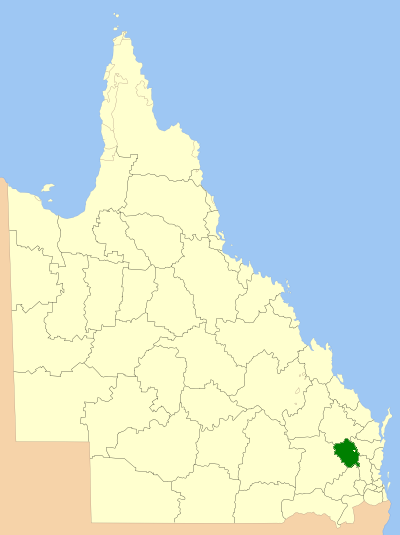
| DescriptionSouth burnett LGA Qld 2008.png | Location of the Local Government Area in Queensland |
| Date | |
| Source | Own work |
| Author | self |
| Permission (Reusing this file) |
GNU Free Documentation License |

|
Permission is granted to copy, distribute and/or modify this document under the terms of the GNU Free Documentation License, Version 1.2 or any later version published by the Free Software Foundation; with no Invariant Sections, no Front-Cover Texts, and no Back-Cover Texts. A copy of the license is included in the section entitled GNU Free Documentation License.http://www.gnu.org/copyleft/fdl.htmlGFDLGNU Free Documentation Licensetruetrue |
| This file is licensed under the Creative Commons Attribution-Share Alike 3.0 Unported license. | ||
| ||
| This licensing tag was added to this file as part of the GFDL licensing update.http://creativecommons.org/licenses/by-sa/3.0/CC BY-SA 3.0Creative Commons Attribution-Share Alike 3.0truetrue |
Captions
Add a one-line explanation of what this file represents
Items portrayed in this file
depicts
March 2008
File history
Click on a date/time to view the file as it appeared at that time.
| Date/Time | Thumbnail | Dimensions | User | Comment | |
|---|---|---|---|---|---|
| current | 00:35, 8 July 2008 | | 400 × 535 (52 KB) | Roke~commonswiki | {{Information |Description=Location of the Local Government Area in Queensland |Source=self made |Date=March 2008 |Author=self |Permission=GNU Free Documentation License |other_versions= }} {{GF |
File usage
The following pages on the English Wikipedia use this file (pages on other projects are not listed):
- Alice Creek, Queensland
- Barker Creek Flat
- Benarkin North, Queensland
- Blackbutt North
- Blackbutt South
- Boyneside, Queensland
- Bullcamp, Queensland
- Chahpingah, Queensland
- Charlestown, Queensland
- Chelmsford, Queensland
- Cobbs Hill, Queensland
- Coverty, Queensland
- Dangore, Queensland
- Ellesmere, Queensland
- Fairdale, Queensland
- Ficks Crossing, Queensland
- Glenrock, Queensland
- Greenview, Queensland
- Hodgleigh
- Kunioon, Queensland
- Local government areas of Queensland
- Marshlands, Queensland
- Mcgrory Falls
- Melrose, Queensland
- Mount McEuen, Queensland
- Mp Creek, Queensland
- Neumgna
- Oakdale, Queensland
- Runnymede, Queensland
- Sandy Ridges
- Silverleaf, Queensland
- South Burnett Region
- South East Nanango, Queensland
- South Nanango
- Sunny Nook
- Tablelands, Queensland (South Burnett Region)
- Teelah
- Warnung
- Wattle Camp
- Wattle Grove, Queensland
- Wigton, Queensland
- Wilkesdale, Queensland
- Wooroonden
- Wyalla, Queensland
- Template:SouthBurnett-geo-stub
Global file usage
The following other wikis use this file:
- Usage on bar.wikipedia.org
- Usage on de.wikipedia.org
- Usage on fr.wikipedia.org
- Usage on it.wikipedia.org
- Usage on ru.wikipedia.org
- Usage on sv.wikipedia.org
- Usage on vi.wikipedia.org
- Usage on www.wikidata.org
- Usage on zh.wikipedia.org
Retrieved from "https://en.wikipedia.org/wiki/File:South_burnett_LGA_Qld_2008.png"