File:Satellite_image_of_Russia's_Krasnodar_region_along_the_northeast_coast_of_the_Black_Sea.jpg
From Wikipedia, the free encyclopedia
Size of this preview: 492 × 599 pixels. Other resolutions: 197 × 240 pixels | 575 × 700 pixels.
Original file (575 × 700 pixels, file size: 479 KB, MIME type: image/jpeg)
| This is a file from the Wikimedia Commons. Information from its description page there is shown below. Commons is a freely licensed media file repository. You can help. |
Summary
| Camera location | 45° 00′ 00″ N, 40° 00′ 00″ E | View this and other nearby images on: OpenStreetMap |
|---|
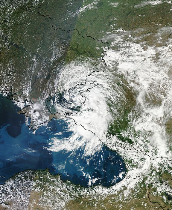
| DescriptionSatellite image of Russia's Krasnodar region along the northeast coast of the Black Sea.jpg | |
| Date | |
| Source |
NASA EOSDIS LANCE-MODIS http://lance-modis.eosdis.nasa.gov/imagery/ |
| Author | NOAA / Goddard Space Center |
Licensing
| Public domainPublic domainfalsefalse |
| This file is in the public domain in the United States because it was solely created by NASA. NASA copyright policy states that "NASA material is not protected by copyright unless noted". (See Template:PD-USGov, NASA copyright policy page or JPL Image Use Policy.) | ||
 |
Warnings:
|
Captions
Add a one-line explanation of what this file represents
Items portrayed in this file
depicts
10 July 2012
45°N, 40°E
File history
Click on a date/time to view the file as it appeared at that time.
| Date/Time | Thumbnail | Dimensions | User | Comment | |
|---|---|---|---|---|---|
| current | 07:49, 10 July 2012 | | 575 × 700 (479 KB) | W!B: |
File usage
The following pages on the English Wikipedia use this file (pages on other projects are not listed):
Global file usage
The following other wikis use this file:
- Usage on de.wikipedia.org
- Usage on el.wikipedia.org
- Usage on ka.wikipedia.org
- Usage on ru.wikipedia.org
- Usage on uk.wikipedia.org