File:Rostock_asv2018-05_img42_aerial_view.jpg
From Wikipedia, the free encyclopedia
Size of this preview: 800 × 533 pixels. Other resolutions: 320 × 213 pixels | 640 × 427 pixels | 1,024 × 683 pixels | 1,280 × 853 pixels | 2,560 × 1,707 pixels | 4,722 × 3,148 pixels.
Original file (4,722 × 3,148 pixels, file size: 11.01 MB, MIME type: image/jpeg)
| This is a file from the Wikimedia Commons. Information from its description page there is shown below. Commons is a freely licensed media file repository. You can help. |
Summary
| DescriptionRostock asv2018-05 img42 aerial view.jpg |
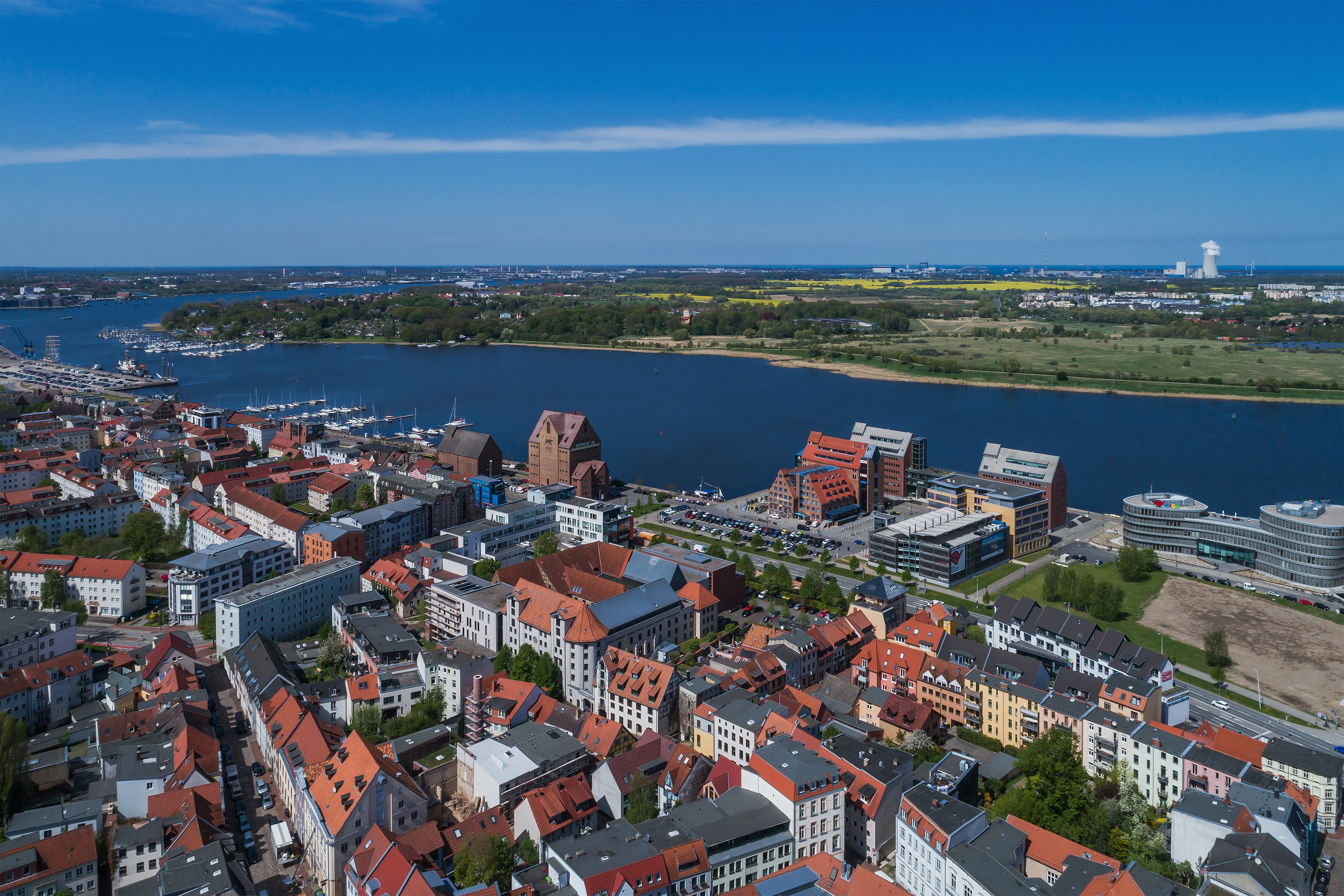
English: Aerial photo near the urban port in Rostock, Germany
Deutsch: Luftaufnahme nahe Stadthafen in Rostock, Deutschland
Русский: Аэрофотосъёмка недалеко от городского порта в Ростоке, Германия |
| Date | |
| Source | Own work |
| Author | A.Savin |
| Permission (Reusing this file) |
.svg) Just attribute the author: «A.Savin, Wikipedia»; if you have questions — Telegram, or e-mail to wikiphotospace@gmail.com..svg) Просто укажите в качестве автора: «А.Савин, Википедия»; если есть вопрос — телеграм, или эл.почта на wikiphotospace@gmail.com. Kennzeichnen Sie einfach als Autor: «A.Savin, Wikipedia»; falls Sie Fragen haben — Telegram, oder E-Mail an wikiphotospace@gmail.com.
Thank you. |
| Camera location | 54° 05′ 23.1″ N, 12° 08′ 50.5″ E | View this and other nearby images on: OpenStreetMap |
|---|
Licensing
| Copyleft: This work of art is free; you can redistribute it and/or modify it according to terms of the Free Art License. You will find a specimen of this license on the Copyleft Attitude site as well as on other sites. http://artlibre.org/licence/lal/enFALFree Art Licensefalsetrue |
Captions
Add a one-line explanation of what this file represents
Items portrayed in this file
depicts
54°5'23.100"N, 12°8'50.500"E
0.002 second
8.8 millimetre
100
image/jpeg
File history
Click on a date/time to view the file as it appeared at that time.
| Date/Time | Thumbnail | Dimensions | User | Comment | |
|---|---|---|---|---|---|
| current | 15:27, 13 November 2018 | | 4,722 × 3,148 (11.01 MB) | A.Savin | {{User:A.Savin/F |Description= {{en|Aerial photo near the urban port in Rostock, Germany}} {{de|Luftaufnahme nahe Stadthafen in Rostock, Deutschland}} {{ru|Аэрофотосъёмка недалеко от городского порта в Ростоке, Германия}} |Year=2018 |Country=Germany |Month=05 |Day=02}} {{Location|54|5|23.1|N|12|8|50.5|E|region:DE-MV}} Category:Taken with DJI FC6310 Category:2018 in Rostock Category:Aerial photographs of Rostock Category:Stadthafen Rostock in the 2010s [[Category:Am Strande (R... |
File usage
The following pages on the English Wikipedia use this file (pages on other projects are not listed):
Global file usage
The following other wikis use this file:
- Usage on ar.wikipedia.org
- Usage on arz.wikipedia.org
- Usage on ast.wikipedia.org
- Usage on ba.wikipedia.org
- Usage on be.wikipedia.org
- Usage on ca.wikipedia.org
- Usage on ceb.wikipedia.org
- Usage on cy.wikipedia.org
- Usage on de.wikivoyage.org
- Usage on diq.wikipedia.org
- Usage on el.wikipedia.org
- Usage on en.wikivoyage.org
- Usage on es.wikipedia.org
- Usage on es.wikivoyage.org
- Usage on eu.wikipedia.org
- Usage on fi.wikipedia.org
- Usage on fr.wikivoyage.org
- Usage on gl.wikipedia.org
- Usage on hu.wikipedia.org
- Usage on hy.wikipedia.org
- Usage on ia.wikipedia.org
- Usage on it.wikipedia.org
- Usage on it.wikivoyage.org
- Usage on ka.wikipedia.org
- Usage on ky.wikipedia.org
- Usage on lb.wikipedia.org
- Usage on lmo.wikipedia.org
- Usage on ms.wikipedia.org
- Usage on mt.wikipedia.org
- Usage on nds.wikipedia.org
- Usage on nl.wikipedia.org
- Usage on nl.wikivoyage.org
- Usage on no.wikipedia.org
- Usage on os.wikipedia.org
- Usage on pl.wikipedia.org
- Usage on pl.wikivoyage.org
- Usage on pt.wikivoyage.org
- Usage on ro.wikipedia.org
- Usage on ru.wikivoyage.org
- Usage on sr.wikipedia.org
View more global usage of this file.
Metadata
This file contains additional information, probably added from the digital camera or scanner used to create or digitize it.
If the file has been modified from its original state, some details may not fully reflect the modified file.
| Camera manufacturer | DJI |
|---|---|
| Camera model | FC6310 |
| Author | A.Savin |
| Exposure time | 1/500 sec (0.002) |
| F-number | f/9 |
| ISO speed rating | 100 |
| Date and time of data generation | 13:16, 2 May 2018 |
| Lens focal length | 8.8 mm |
| Latitude | 54° 5′ 23.12″ N |
| Longitude | 12° 8′ 50.51″ E |
| Altitude | 88.114 meters above sea level |
| Width | 5,464 px |
| Height | 3,640 px |
| Bits per component |
|
| Pixel composition | RGB |
| Orientation | Normal |
| Number of components | 3 |
| Horizontal resolution | 300 dpi |
| Vertical resolution | 300 dpi |
| Software used | Adobe Photoshop CC (Windows) |
| File change date and time | 23:01, 8 November 2018 |
| Exposure Program | Manual |
| Exif version | 2.3 |
| Date and time of digitizing | 13:16, 2 May 2018 |
| Shutter speed | 8.965784 |
| APEX aperture | 6.33985 |
| Exposure bias | 0 |
| Maximum land aperture | 2.97 APEX (f/2.8) |
| Subject distance | 0 meters |
| Metering mode | Center weighted average |
| Light source | Unknown |
| Flash | Flash did not fire, No flash function |
| Color space | sRGB |
| File source | Digital still camera |
| Scene type | A directly photographed image |
| Custom image processing | Normal process |
| Exposure mode | Manual exposure |
| White balance | Auto white balance |
| Digital zoom ratio | 0 |
| Focal length in 35 mm film | 24 mm |
| Scene capture type | Standard |
| Scene control | None |
| Contrast | Normal |
| Saturation | Normal |
| Sharpness | Normal |
| Subject distance range | Unknown |
| GPS tag version | 0.0.3.2 |
| Serial number of camera | 6840927dc0c36c0d1c69152e57eb388f |
| Lens used | 24.0 mm |
| Date metadata was last modified | 00:01, 9 November 2018 |
| Unique ID of original document | 3C11229984E172E65C1353C090618368 |
| IIM version | 4 |