File:Reliefkarte_Wallis_blank.png
From Wikipedia, the free encyclopedia
Size of this preview: 776 × 599 pixels. Other resolutions: 311 × 240 pixels | 622 × 480 pixels | 994 × 768 pixels | 1,280 × 989 pixels | 2,560 × 1,977 pixels | 4,069 × 3,143 pixels.
Original file (4,069 × 3,143 pixels, file size: 12.26 MB, MIME type: image/png)
| This is a file from the Wikimedia Commons. Information from its description page there is shown below. Commons is a freely licensed media file repository. You can help. |
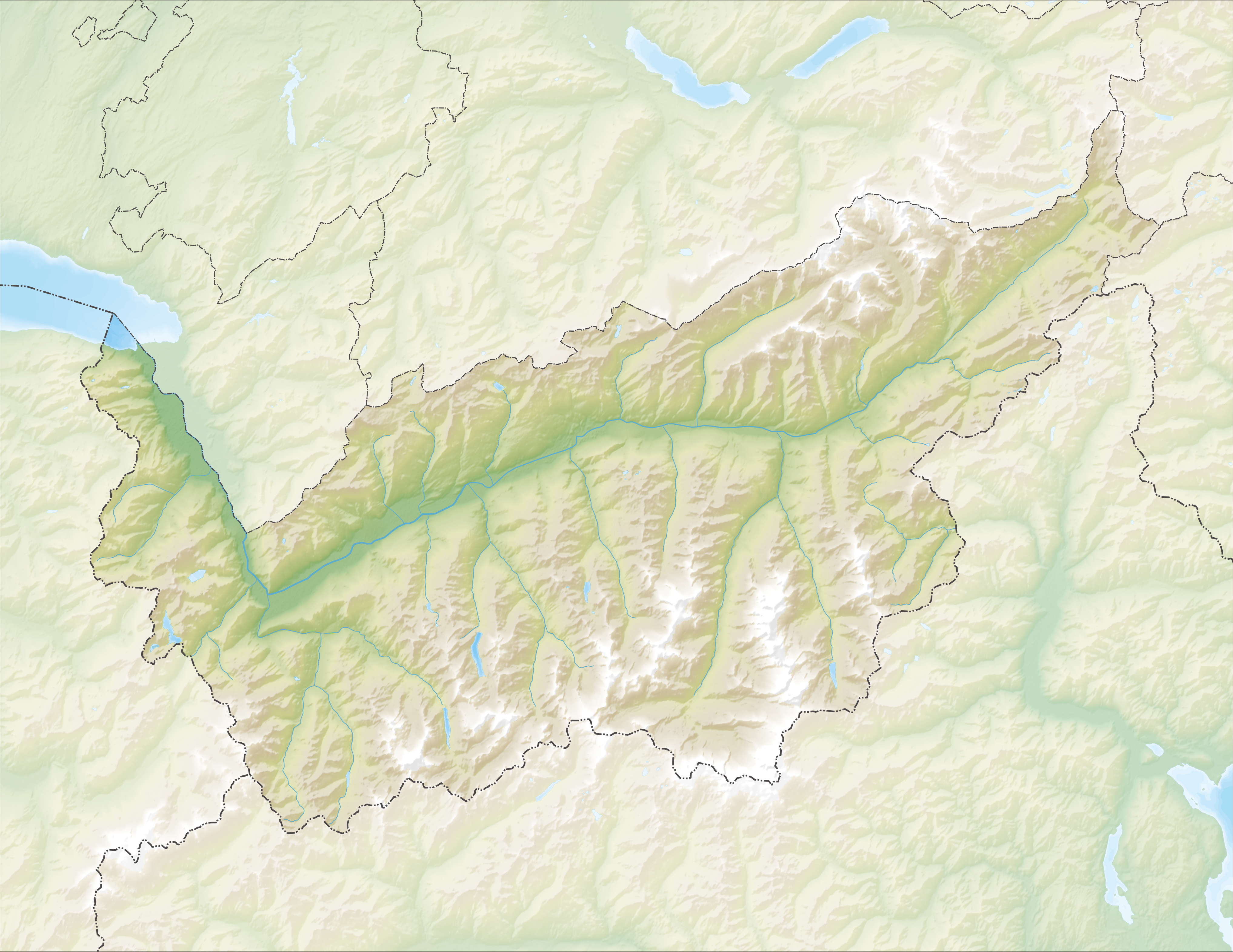
| DescriptionReliefkarte Wallis blank.png |
Deutsch: Reliefkarte des Kantons Wallis
Topographischer Hintergrund: NASA Shuttle Radar Topography Mission (public domain). SRTM3 v.2. |
||||||||
| Date | |||||||||
| Source | Own work | ||||||||
| Author | Tschubby | ||||||||
| Permission (Reusing this file) |
I, the copyright holder of this work, hereby publish it under the following licenses:
This file is licensed under the Creative Commons Attribution-Share Alike 2.5 Generic, 2.0 Generic and 1.0 Generic license.
You may select the license of your choice. |
||||||||
| Other versions |
Derivative works of this file: Massa river Route.png |

Captions
Add a one-line explanation of what this file represents
Items portrayed in this file
depicts
6 December 2013
File history
Click on a date/time to view the file as it appeared at that time.
| Date/Time | Thumbnail | Dimensions | User | Comment | |
|---|---|---|---|---|---|
| current | 12:18, 6 December 2013 | | 4,069 × 3,143 (12.26 MB) | Tschubby | {{Information |Description= {{de| Reliefkarte des Kantons Wallis}} Topographischer Hintergrund: [http://www2.jpl.nasa.gov/srtm NASA Shuttle Radar Topography Mission] (public domain). SRTM3 v.2. |Source={{own}} |Date= 2013-12-06 |Author= [[:de:User:Tsch... |
File usage
More than 100 pages use this file. The following list shows the first 100 pages that use this file only. A full list is available.
- Agarn
- Albinen
- Arbaz
- Ardon, Switzerland
- Ausserbinn
- Ayent
- Bagnes
- Battle on the Planta
- Bellwald
- Binn
- Blitzingen
- Bourg-Saint-Pierre
- Bovernier
- Bratsch
- Chamoson
- Champéry
- Charrat
- Collombey-Muraz
- Collonges, Switzerland
- Conthey
- Crans-Montana
- Dufourspitze
- Eischoll
- Ergisch
- Ernen
- Erschmatt
- Evolène
- Fiesch
- Fieschertal
- Fully
- Gampel
- Gorner Glacier
- Grafschaft, Switzerland
- Grande Dixence Dam
- Grimisuat
- Grächen
- Guttet-Feschel
- Hérémence
- Inden, Switzerland
- Isérables
- Jungfrau
- Lake Geneva
- Lax, Switzerland
- Lens, Switzerland
- Les Agettes
- Leuk
- Leukerbad
- Leytron
- Liddes
- Martigny
- Martigny-Combe
- Mase, Switzerland
- Monthey
- Mund
- Münster-Geschinen
- Nax
- Nendaz
- Niederwald, Switzerland
- Nufenen Pass
- Oberems
- Obergesteln
- Oberwald
- Orsières
- Port-Valais
- Randa, Switzerland
- Reckingen-Gluringen
- Rhône Glacier
- Riddes
- Riederalp
- Saas-Fee
- Saas-Grund
- Saillon
- Saint-Gingolph, Switzerland
- Saint-Martin, Valais
- Saint-Maurice, Switzerland
- Salgesch
- Salins, Switzerland
- Savièse
- Saxon, Switzerland
- Sembrancher
- Sierre
- Simplon, Valais
- Sion, Switzerland
- Trient, Switzerland
- Troistorrents
- Turtmann
- Täsch
- Ulrichen
- Unterems
- Val-d'Illiez
- Varen, Switzerland
- Vernamiège
- Vernayaz
- Vex, Switzerland
- Veysonnaz
- Vionnaz
- Visp
- Vollèges
- Vouvry
- Vétroz
View more links to this file.
Global file usage
The following other wikis use this file:
- Usage on als.wikipedia.org
- Usage on arz.wikipedia.org
- Usage on bar.wikipedia.org
- Usage on da.wikipedia.org
- Usage on de.wikipedia.org
- Dom (Berg)
- Bietschhorn
- Simplontunnel
- Pollux (Berg)
- Castor (Berg)
- Lötschbergtunnel
- Lac de Cleuson
- Lac des Dix
- Dent de Morcles
- Dents du Midi
- Zinalrothorn
- Grand Combin
- Alphubel
- Rhonegletscher
- Täschhorn
- Weisshorn (Wallis)
- Stausee Mattmark
- Dent Blanche
- Otemmagletscher
- Corbassièregletscher
- Giétrozgletscher
- Lac d’Emosson
- Gornergletscher
- Fieschergletscher
- Tsanfleurongletscher
- Findelgletscher
- Ferpècle-Gletscher
- Mont-Miné-Gletscher
- Feegletscher
- Allalingletscher
- Hohlaubgletscher
- Trientgletscher
- Moirygletscher
- Oberaletschgletscher
- Mittelaletschgletscher
- Saleinagletscher
- Brenaygletscher
- Tsijiore-Nouve-Gletscher
- Cheilongletscher
- Mont-Durand-Gletscher
View more global usage of this file.
Metadata
This file contains additional information, probably added from the digital camera or scanner used to create or digitize it.
If the file has been modified from its original state, some details may not fully reflect the modified file.
| Horizontal resolution | 118.11 dpc |
|---|---|
| Vertical resolution | 118.11 dpc |
Retrieved from "https://en.wikipedia.org/wiki/File:Reliefkarte_Wallis_blank.png"