File:Reliefkarte_Freiburg_blank.png
From Wikipedia, the free encyclopedia
Size of this preview: 542 × 599 pixels. Other resolutions: 217 × 240 pixels | 434 × 480 pixels | 695 × 768 pixels | 926 × 1,024 pixels | 1,840 × 2,034 pixels.
Original file (1,840 × 2,034 pixels, file size: 3.52 MB, MIME type: image/png)
| This is a file from the Wikimedia Commons. Information from its description page there is shown below. Commons is a freely licensed media file repository. You can help. |
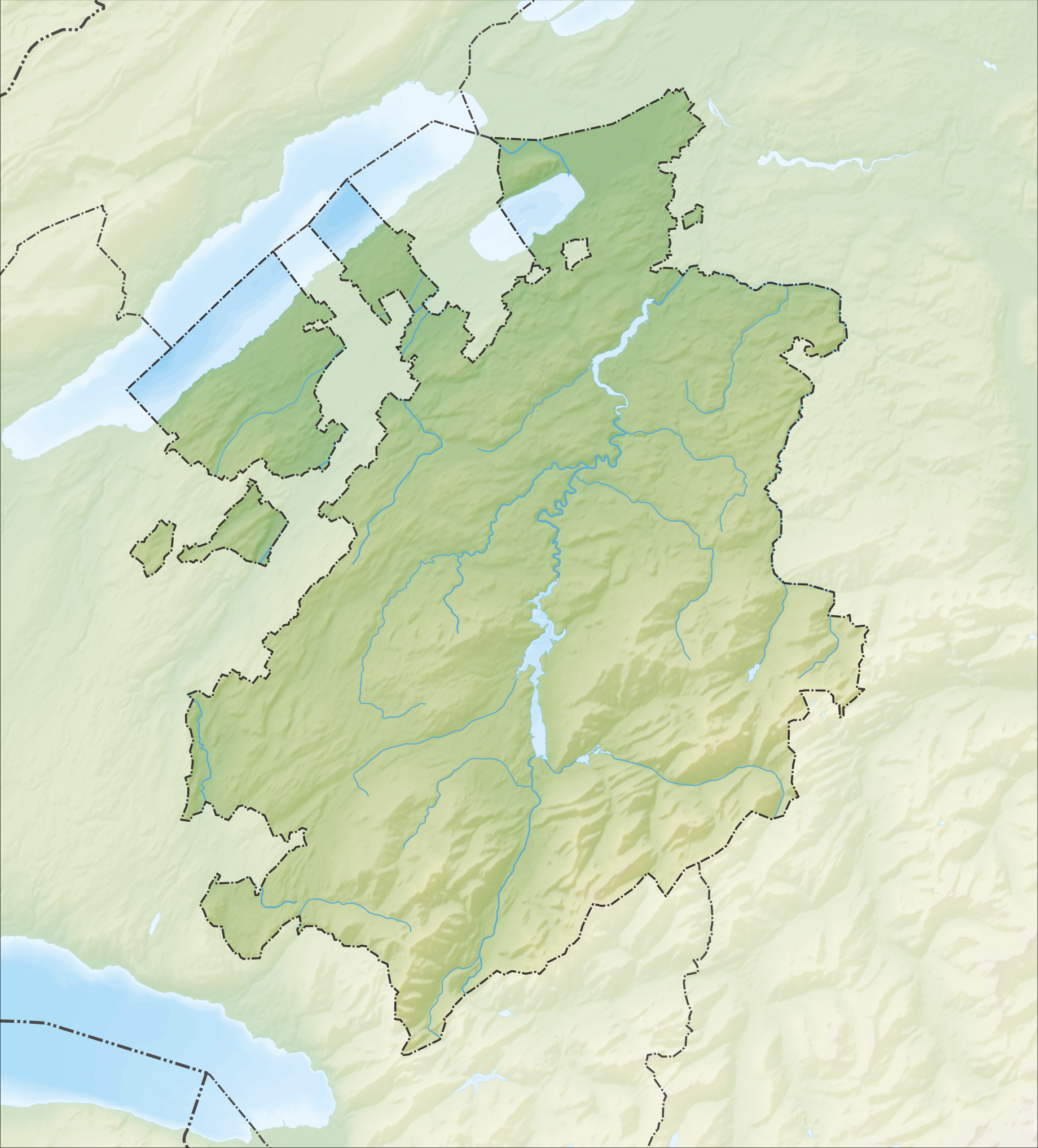
| DescriptionReliefkarte Freiburg blank.png |
Deutsch: Reliefkarte des Kantons Freiburg
Topographischer Hintergrund: NASA Shuttle Radar Topography Mission (public domain). SRTM3 v.2. |
||||||||
| Date | |||||||||
| Source | Own work | ||||||||
| Author | Tschubby | ||||||||
| Permission (Reusing this file) |
I, the copyright holder of this work, hereby publish it under the following licenses:
This file is licensed under the Creative Commons Attribution-Share Alike 2.5 Generic, 2.0 Generic and 1.0 Generic license.
You may select the license of your choice. |
||||||||
| Other versions |
 |

Captions
Add a one-line explanation of what this file represents
Items portrayed in this file
depicts
5 December 2013
File history
Click on a date/time to view the file as it appeared at that time.
| Date/Time | Thumbnail | Dimensions | User | Comment | |
|---|---|---|---|---|---|
| current | 15:34, 5 December 2013 | | 1,840 × 2,034 (3.52 MB) | Tschubby | {{Information |Description= {{de| Reliefkarte des Kantons Freiburg}} Topographischer Hintergrund: [http://www2.jpl.nasa.gov/srtm NASA Shuttle Radar Topography Mission] (public domain). SRTM3 v.2. |Source={{own}} |Date= 2013-12-05 |Author= [[:de:User:Ts... |
File usage
More than 100 pages use this file. The following list shows the first 100 pages that use this file only. A full list is available.
- Alterswil
- Arconciel
- Attalens
- Auboranges
- Barberêche
- Bas-Intyamon
- Billens-Hennens
- Bossonnens
- Botterens
- Broc
- Brünisried
- Bulle
- Bussy, Fribourg
- Bösingen, Fribourg
- Cerniat
- Chapelle, Glâne
- Charmey
- Cheiry
- Cheyres
- Châbles
- Châtel-Saint-Denis
- Châtel-sur-Montsalvens
- Châtillon, Fribourg
- Châtonnaye
- Clavaleyres
- Corbières, Gruyère
- Crésuz
- Cugy, Fribourg
- Delley-Portalban
- Domdidier
- Dompierre, Fribourg
- Düdingen
- Echarlens
- Estavayer-le-Lac
- Font, Switzerland
- Fribourg
- Fétigny, Switzerland
- Giffers
- Gletterens
- Grandvillard
- Granges, Switzerland
- Grangettes
- Gruyères
- Haut-Intyamon
- Hauteville, Switzerland
- Heitenried
- Jaun
- La Roche, Fribourg
- La Verrerie
- Lake Morat
- Lake Neuchâtel
- Lake of Gruyère
- Le Flon
- Le Pâquier, Fribourg
- Les Montets
- List of castles and fortresses in Switzerland
- Lully, Fribourg
- Léchelles
- Marsens
- Massonnens
- Montagny, Fribourg
- Morens
- Morlon
- Murist
- Murten
- Ménières
- Nuvilly
- Oberschrot
- Plaffeien
- Plasselb
- Pont-en-Ogoz
- Pont-la-Ville, Switzerland
- Prévondavaux
- Rechthalten
- Remaufens
- Rossens, Fribourg
- Rueyres-les-Prés
- Russy, Switzerland
- Saint-Aubin, Fribourg
- Saint-Martin, Fribourg
- Schmitten, Fribourg
- Semsales
- Sorens
- St. Antoni
- St. Silvester
- St. Ursen
- Surpierre
- Sâles, Fribourg
- Sévaz
- Tafers
- Tentlingen
- Ueberstorf
- Vallon
- Vaulruz
- Vernay, Switzerland
- Villarvolard
- Villeneuve, Fribourg
- Vuadens
- Vuissens
- Wünnewil-Flamatt
View more links to this file.
Global file usage
The following other wikis use this file:
- Usage on de.wikipedia.org
- Moléson
- Schwarzsee (See im Kanton Freiburg)
- Greyerzersee
- Mont Vully
- Schiffenensee
- Vanil d’Arpille
- Lac de Montsalvens
- Cousimbert
- Glâne (Fluss)
- Gibloux (Berg)
- Papiliorama
- Jaunbach
- Arbogne
- Vanil Noir
- Liste von Burgen und Schlössern in der Schweiz
- Berra (Berg)
- Gastlosen
- Kaiseregg
- Vauderens-Tunnel
- Île d’Ogoz
- Schloss Greyerz
- Wikipedia:Kartenwerkstatt/Positionskarten/Europa
- Flugplatz Gruyères
- Sendeturm Mont-Gibloux
- Dent de Brenleire
- Vanil Carré
- Schwyberg
- Vorlage:Positionskarte Schweiz Freiburg
- Ölbergwerk
- Flugplatz Ecuvillens
- Schloss Löwenberg (Murten)
- Möösliturm
- Dent de Lys
- Breccaschlund
- Javro
- Schopfenspitz
- Benutzer:Tschubby/Reliefkarten
- Vanil des Artses
- Col de Lys
- Schloss Murten
- Schloss Pont
- Schloss Attalens
- Burgruine Illens
- Burgruine Arconciel
- Schloss Romont
- Schloss Vaulruz
- Schloss Chenaux
- Schloss Surpierre
- Burgruine Montagny-les-Monts
- Burgruine Montsalvens
View more global usage of this file.
Metadata
This file contains additional information, probably added from the digital camera or scanner used to create or digitize it.
If the file has been modified from its original state, some details may not fully reflect the modified file.
| Horizontal resolution | 118.11 dpc |
|---|---|
| Vertical resolution | 118.11 dpc |
Retrieved from "https://en.wikipedia.org/wiki/File:Reliefkarte_Freiburg_blank.png"