File:Mapa_Lima_Metropolitana_Distritos.JPG
From Wikipedia, the free encyclopedia
Size of this preview: 452 × 600 pixels. Other resolutions: 181 × 240 pixels | 576 × 764 pixels.
Original file (576 × 764 pixels, file size: 46 KB, MIME type: image/jpeg)
| This is a file from the Wikimedia Commons. Information from its description page there is shown below. Commons is a freely licensed media file repository. You can help. |
Summary
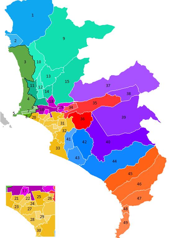
| DescriptionMapa Lima Metropolitana Distritos.JPG | Mapa Lima Metropolitana |
| Date | 31 March 2007 (original upload date) |
| Source | No machine-readable source provided. Own work assumed (based on copyright claims). |
| Author | No machine-readable author provided. Wikiperuvian assumed (based on copyright claims). |
Licensing
| Public domainPublic domainfalsefalse |
| I, the copyright holder of this work, release this work into the public domain. This applies worldwide. In some countries this may not be legally possible; if so: I grant anyone the right to use this work for any purpose, without any conditions, unless such conditions are required by law. |

|
This map image could be re-created using vector graphics as an SVG file. This has several advantages; see Commons:Media for cleanup for more information. If an SVG form of this image is available, please upload it and afterwards replace this template with
{{vector version available|new image name}}.
It is recommended to name the SVG file “Mapa Lima Metropolitana Distritos.svg”—then the template Vector version available (or Vva) does not need the new image name parameter. |
 | This map image was uploaded in the JPEG format even though it consists of non-photographic data. This information could be stored more efficiently or accurately in the PNG or SVG format. If possible, please upload a PNG or SVG version of this image without compression artifacts, derived from a non-JPEG source (or with existing artifacts removed). After doing so, please tag the JPEG version with {{Superseded|NewImage.ext}} and remove this tag. This tag should not be applied to photographs or scans. If this image is a diagram or other image suitable for vectorisation, please tag this image with {{Convert to SVG}} instead of {{BadJPEG}}. If not suitable for vectorisation, use {{Convert to PNG}}. For more information, see {{BadJPEG}}. |  |
Captions
Add a one-line explanation of what this file represents
Items portrayed in this file
depicts
31 March 2007
image/jpeg
File history
Click on a date/time to view the file as it appeared at that time.
| Date/Time | Thumbnail | Dimensions | User | Comment | |
|---|---|---|---|---|---|
| current | 21:05, 21 February 2022 | | 576 × 764 (46 KB) | MiguelAlanCS | Reverted to version as of 20:24, 31 March 2007 (UTC) |
| 18:38, 13 April 2021 |  | 2,481 × 3,506 (574 KB) | Bankster | Better quality. Chorrillos is not generally considered part of Lima proper | |
| 18:37, 13 April 2021 |  | 576 × 764 (46 KB) | Bankster | Rv | |
| 18:04, 14 April 2018 |  | 800 × 1,289 (172 KB) | Chicoperuano | Nuevo diseño del mapa Lima Metropolitana | |
| 14:19, 22 July 2017 |  | 576 × 764 (46 KB) | Marcomogollon | Restituyo mapa anterior | |
| 12:40, 10 July 2017 |  | 2,481 × 3,506 (574 KB) | Profesionalperuano | Mapa Lima Metropolitana | |
| 20:24, 31 March 2007 |  | 576 × 764 (46 KB) | Wikiperuvian | Mapa Lima Metropolitana |
File usage
The following pages on the English Wikipedia use this file (pages on other projects are not listed):
Global file usage
The following other wikis use this file:
- Usage on ast.wikipedia.org
- Usage on ca.wikipedia.org
- Usage on es.wikipedia.org
- Usage on pt.wikipedia.org
- Usage on ru.wikipedia.org
- Usage on sv.wikipedia.org
- Usage on vep.wikipedia.org