File:Map_CZ_-_district_Prachatice.PNG
From Wikipedia, the free encyclopedia
Size of this preview: 800 × 548 pixels. Other resolutions: 320 × 219 pixels | 640 × 439 pixels | 1,024 × 702 pixels | 1,281 × 878 pixels.
Original file (1,281 × 878 pixels, file size: 37 KB, MIME type: image/png)
| This is a file from the Wikimedia Commons. Information from its description page there is shown below. Commons is a freely licensed media file repository. You can help. |
Summary
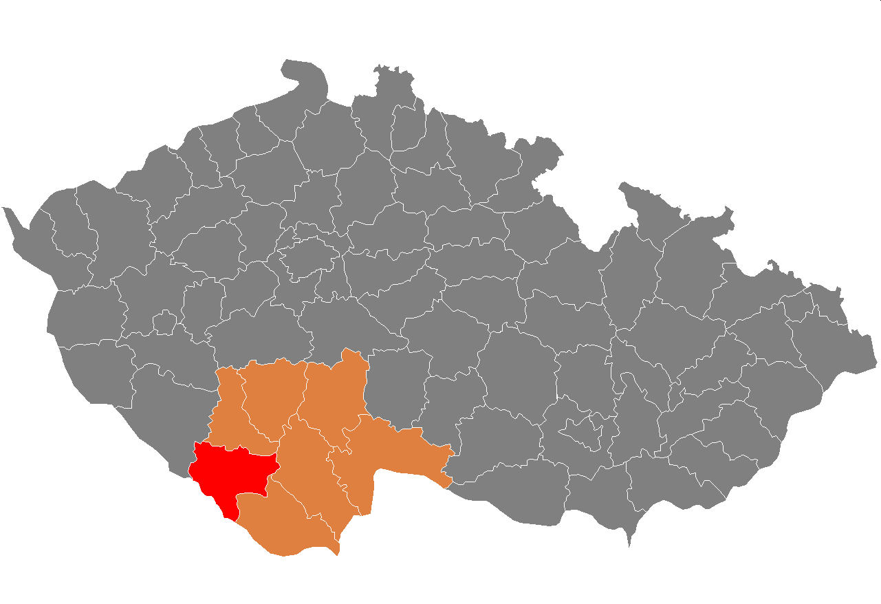
| DescriptionMap CZ - district Prachatice.PNG | Location of Prachatice District in South Bohemian Region and the Czech Republic. | |||
| Date |
Unknown date Unknown date |
|||
| Source | self-made, based on Image:Czech_Republic_districts.png | |||
| Author | Michiel1972 | |||
| Permission (Reusing this file) |
|
Captions
Add a one-line explanation of what this file represents
Items portrayed in this file
depicts
some value
File history
Click on a date/time to view the file as it appeared at that time.
| Date/Time | Thumbnail | Dimensions | User | Comment | |
|---|---|---|---|---|---|
| current | 20:30, 2 January 2014 | | 1,281 × 878 (37 KB) | Jacquesverlaeken | Red color now shows Pisek, not Prachatice District. |
| 10:11, 18 August 2013 |  | 619 × 356 (22 KB) | Iguacu | new borders | |
| 22:14, 5 October 2007 |  | 1,281 × 878 (37 KB) | Michiel1972 | == Summary == {{Information |Description=Locator_maps_of_districts_of_the_Czech_Republic. |Source=self-made, based on Image:Czech_Republic_districts.png |Date= |Author= Michiel1972 }} [[category:Locator_maps_of_districts_of_the_ |
File usage
The following pages on the English Wikipedia use this file (pages on other projects are not listed):
Global file usage
The following other wikis use this file:
- Usage on ar.wikipedia.org
- Usage on azb.wikipedia.org
- Usage on bg.wikipedia.org
- Usage on de.wikipedia.org
- Usage on eo.wikipedia.org
- Usage on fa.wikipedia.org
- Usage on frr.wikipedia.org
- Usage on fr.wikipedia.org
- Usage on hu.wikipedia.org
- Usage on it.wikipedia.org
- Usage on ka.wikipedia.org
- Usage on ms.wikipedia.org
- Usage on nl.wikipedia.org
- Usage on no.wikipedia.org
- Usage on pl.wikipedia.org
- Usage on pnb.wikipedia.org
- Usage on pt.wikipedia.org
- Prachatice (distrito)
- Prachatice
- Vimperk
- Predefinição:Distrito de Prachatice
- Dub (Prachatice)
- Lhenice
- Strážný
- Strunkovice nad Blanicí
- Babice (Boêmia do Sul)
- Bohumilice
- Bohunice (Prachatice)
- Borová Lada
- Bošice
- Budkov (Boêmia do Sul)
- Buk (Boêmia do Sul)
- Bušanovice
- Chlumany
- Chroboly
- Chvalovice (Boêmia do Sul)
- Čkyně
- Drslavice (Boêmia do Sul)
- Dvory (Boêmia do Sul)
- Horní Vltavice
- Hracholusky (Boêmia do Sul)
- Kratušín
- Křišťanov
- Ktiš
- Kubova Huť
- Kvilda
- Lažiště
- Lčovice
- Lenora (Prachatice)
- Lipovice
View more global usage of this file.
Metadata
This file contains additional information, probably added from the digital camera or scanner used to create or digitize it.
If the file has been modified from its original state, some details may not fully reflect the modified file.
| File change date and time | 18:41, 29 December 2006 |
|---|
Retrieved from "https://en.wikipedia.org/wiki/File:Map_CZ_-_district_Prachatice.PNG"