File:Malta_relief_location_map.png
From Wikipedia, the free encyclopedia
Size of this preview: 645 × 600 pixels. Other resolutions: 258 × 240 pixels | 516 × 480 pixels | 773 × 719 pixels.
Original file (773 × 719 pixels, file size: 150 KB, MIME type: image/png)
| This is a file from the Wikimedia Commons. Information from its description page there is shown below. Commons is a freely licensed media file repository. You can help. |
Summary
| DescriptionMalta relief location map.png |
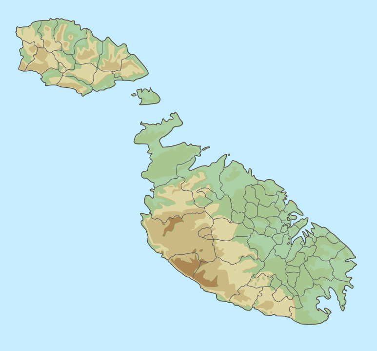
English: location map for Malta
Equirectangular projection. Geographic limits of the map:
|
| Date | |
| Source |
Malta_location_map.svg General_map_of_Malta.svg |
| Author |
Chumwa Trex Bjankuloski06en |
Licensing
This file is licensed under the Creative Commons Attribution-Share Alike 3.0 Unported license.
- You are free:
- to share – to copy, distribute and transmit the work
- to remix – to adapt the work
- Under the following conditions:
- attribution – You must give appropriate credit, provide a link to the license, and indicate if changes were made. You may do so in any reasonable manner, but not in any way that suggests the licensor endorses you or your use.
- share alike – If you remix, transform, or build upon the material, you must distribute your contributions under the same or compatible license as the original.
Captions
Add a one-line explanation of what this file represents
Items portrayed in this file
depicts
6 August 2015
File history
Click on a date/time to view the file as it appeared at that time.
| Date/Time | Thumbnail | Dimensions | User | Comment | |
|---|---|---|---|---|---|
| current | 12:39, 6 August 2015 | | 773 × 719 (150 KB) | Xfigpower | User created page with UploadWizard |
File usage
The following pages on the English Wikipedia use this file (pages on other projects are not listed):
- 1813–1814 Malta plague epidemic
- Birgu
- Borġ in-Nadur
- Buġibba Temple
- Cospicua
- Delimara peninsula
- Flarestar Observatory
- Froberg mutiny
- Fungus Rock
- Golden Bay (Malta)
- Gozo Channel
- Għajn Tuffieħa
- Il-Ballut ta' Marsaxlokk
- Il-Gelmus
- Inland Sea, Gozo
- Malta International Airport
- Maqluba (Malta)
- Mdina
- Megalithic Temples of Malta
- Melite (ancient city)
- Mistra Bay
- Mnajdra
- Newwiela Point
- Punic building, Żurrieq
- Qbajjar
- Ras il-Wardija
- San Blas Bay
- Santa Verna
- Sciberras Peninsula
- Senglea
- Skorba Temples
- St Peter's Pool, Malta
- St Thomas' Bay
- Ta' Dmejrek
- Ta' Ħaġrat Temples
- Tal-Qadi Temple
- Tarxien Temples
- Tas-Silġ
- Valletta
- Victoria, Malta
- Xagħra Stone Circle
- Xewkija Heliport
- Xrobb l-Għaġin Temple
- Ġebel San Pietru
- Ġebel ġol-Baħar
- Ġgantija
- Ħal Saflieni Hypogeum
- Ħalfa Rock
- Ħaġar Qim
- Module:Location map/data/Malta
- Module:Location map/data/Malta/doc
Global file usage
The following other wikis use this file:
- Usage on ast.wikipedia.org
- Usage on bn.wikipedia.org
- Usage on ca.wikipedia.org
- Usage on el.wikipedia.org
- Usage on es.wikipedia.org
- Usage on fa.wikipedia.org
- Usage on fr.wikipedia.org
- Malte (île)
- Gozo
- Comino
- Hypogée de Ħal Saflieni
- Grand Siège de Malte
- Filfla (île)
- Cominotto
- Modèle:Géolocalisation/Malte
- Għar Dalam
- Skorba
- Ħaġar Qim
- Borġ in-Nadur
- Baħrija
- Tal-Qadi
- Banque centrale de Malte
- Projet:Cartographie/Géolocalisation/Maintenance/Images des pays
- Bataille de Malte
- Modèle:Géolocalisation/Malte/Documentation
- Temples de Tarxien
- Ta' Ħaġrat
- Ta' Dmejrek
- Archipel maltais
- Île Manoel
- Grotte bleue (Malte)
- Îles de Saint-Paul
- Blue Hole et Inland Sea
- Cirkewwa
- Îlot de Filfoletta
- Il-Maqluba
- Liste des mammifères à Malte
- Temple de Proserpine
- Ras il-Wardija
- Baie de Ramla
- Villa romaine de Ramla
- Tas-Silġ
- Għajn Qajjet
- Domus Romana
- Thermes de Għajn Tuffieħa
- San Pawl Milqi
- Għajn Klieb
View more global usage of this file.
Metadata
This file contains additional information, probably added from the digital camera or scanner used to create or digitize it.
If the file has been modified from its original state, some details may not fully reflect the modified file.
| Horizontal resolution | 35.43 dpc |
|---|---|
| Vertical resolution | 35.43 dpc |
| Software used |
Retrieved from "https://en.wikipedia.org/wiki/File:Malta_relief_location_map.png"