File:Location_map_United_Kingdom_Reading.png
From Wikipedia, the free encyclopedia
Size of this preview: 800 × 572 pixels. Other resolutions: 320 × 229 pixels | 640 × 458 pixels | 1,024 × 732 pixels | 1,425 × 1,019 pixels.
Original file (1,425 × 1,019 pixels, file size: 1.34 MB, MIME type: image/png)
| This is a file from the Wikimedia Commons. Information from its description page there is shown below. Commons is a freely licensed media file repository. You can help. |
Summary
| DescriptionLocation map United Kingdom Reading.png |
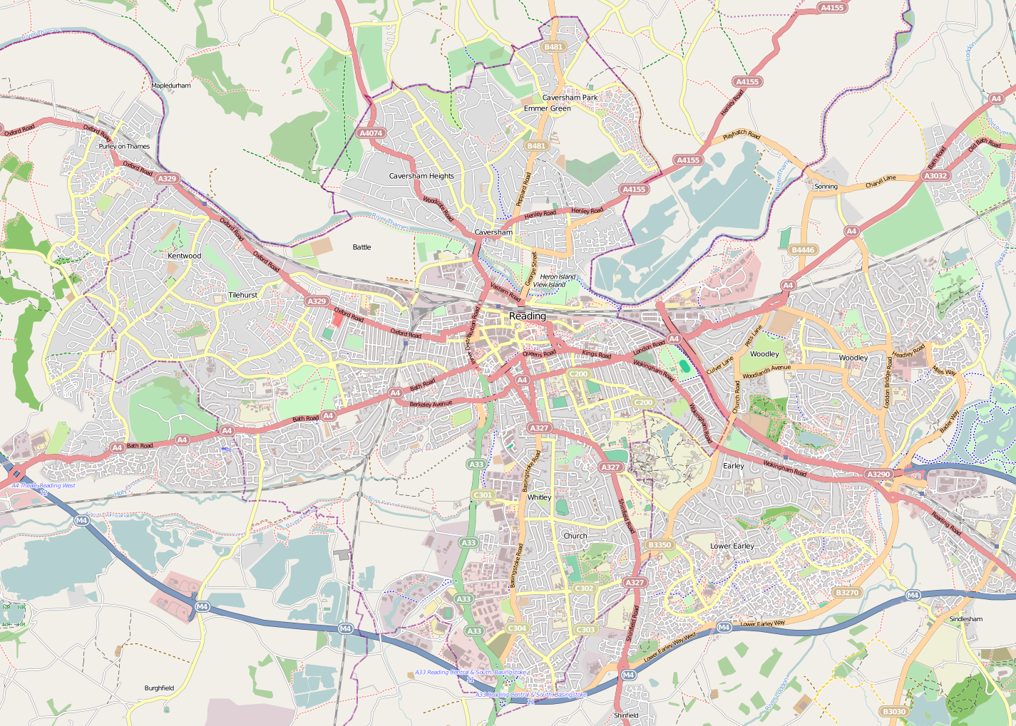
English: Map of Reading
Geographic limits:
|
| Date | |
| Source | http://www.openstreetmap.org/?lat=51.4524&lon=-0.9711&zoom=13 |
| Author | OpenStreetMap |
Licensing
This file is licensed under the Creative Commons Attribution-Share Alike 3.0 Unported license.
- You are free:
- to share – to copy, distribute and transmit the work
- to remix – to adapt the work
- Under the following conditions:
- attribution – You must give appropriate credit, provide a link to the license, and indicate if changes were made. You may do so in any reasonable manner, but not in any way that suggests the licensor endorses you or your use.
- share alike – If you remix, transform, or build upon the material, you must distribute your contributions under the same or compatible license as the original.
Captions
Add a one-line explanation of what this file represents
Items portrayed in this file
depicts
28 April 2011
File history
Click on a date/time to view the file as it appeared at that time.
| Date/Time | Thumbnail | Dimensions | User | Comment | |
|---|---|---|---|---|---|
| current | 22:44, 28 April 2011 | | 1,425 × 1,019 (1.34 MB) | BaldBoris | =={{int:filedesc}}== {{Information |description={{en|1=Map of Reading}} Geographic limits: * N: 51.4959° * S: 51.4088° * W: -1.0688° * E: -0.8734° |date=2011-04-28 |source=http://www.openstreetmap.org/?lat=51.4524&lon=- |
File usage
The following pages on the English Wikipedia use this file (pages on other projects are not listed):
- All Saints' Church, Reading
- Arthur Newbery Park
- Bath Road Reservoir
- Battle Hospital
- Blundells Copse
- Brock Barracks
- Calcot Park
- Carey Baptist Church, Reading
- Caversham Court
- Caversham Park
- Chazey Court Barn
- Christ Church, Reading
- Christchurch Meadows, Reading
- Clayfield Copse
- Cole Museum of Zoology
- Courage Park, Reading
- Earley railway station
- Foxhill House
- Green Park business park
- Hills Meadow
- King's Meadow, Reading
- Lousehill Copse
- Murder of Emily Salvini
- Murder of Mary-Ann Leneghan
- Museum of English Rural Life
- Palmer Park, Reading
- Prospect Park, Reading
- Reading, Berkshire
- Reading Green Park railway station
- Reading West railway station
- Region 6 War Room
- Riverside Museum at Blake's Lock
- Royal Berkshire Hospital
- Sol Joel Park
- Southcote, Berkshire
- St Peter's Church, Caversham
- Thames Valley Park
- Thameside Promenade
- Tilehurst Water Tower
- Tilehurst railway station
- Transport in Reading, Berkshire
- Ure Museum of Greek Archaeology
- View Island
- Wantage Hall
- West Memorial Hall
- Winnersh Triangle railway station
- Winnersh railway station
- Talk:Reading railway station
- User:DutchTreat/Projects/Places
- User:Michael Goodyear/Wikiguide
- Module:Location map/data/United Kingdom Reading
- Module:Location map/data/United Kingdom Reading/doc
Global file usage
The following other wikis use this file:
- Usage on ar.wikipedia.org
- Usage on ceb.wikipedia.org
- Usage on fa.wikipedia.org
- Usage on kn.wikipedia.org
- Usage on si.wikipedia.org
- Usage on tr.wikipedia.org
- Usage on war.wikipedia.org