File:Location_map_Manila.png
From Wikipedia, the free encyclopedia
Size of this preview: 800 × 530 pixels. Other resolutions: 320 × 212 pixels | 640 × 424 pixels | 1,024 × 678 pixels | 1,344 × 890 pixels.
Original file (1,344 × 890 pixels, file size: 1.2 MB, MIME type: image/png)
| This is a file from the Wikimedia Commons. Information from its description page there is shown below. Commons is a freely licensed media file repository. You can help. |
Summary
| DescriptionLocation map Manila.png |
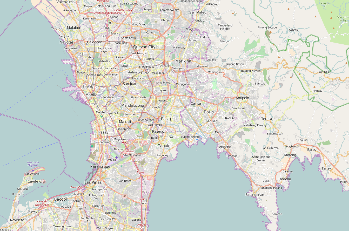
English: OpenStreetMap location map of Manila, Philippines.
|
| Date | |
| Source | OpenStreetMap |
| Author | OpenStreetMap contributors |
Licensing
| This work contains information from OpenStreetMap, which is made available under the Open Database License (ODbL).
The ODbL does not require any particular license for maps produced from ODbL data. Prior to 1 August 2020, map tiles produced by the OpenStreetMap Foundation were licensed under the CC-BY-SA-2.0 license. Maps produced by other people may be subject to other licences.Open Database LicenseODbLhttp://opendatacommons.org/licenses/odbl/1.0/true |
Captions
Zaldy Jerico Narvaez
Items portrayed in this file
depicts
8 January 2016
File history
Click on a date/time to view the file as it appeared at that time.
| Date/Time | Thumbnail | Dimensions | User | Comment | |
|---|---|---|---|---|---|
| current | 02:56, 8 January 2016 | | 1,344 × 890 (1.2 MB) | Axe-koan | User created page with UploadWizard |
File usage
More than 100 pages use this file. The following list shows the first 100 pages that use this file only. A full list is available.
- 10th Avenue station (PNR)
- 2013 Metro Manila Skyway bus accident
- 5th Avenue station (LRT)
- 5th Avenue station (PNR)
- AMA University
- Abad Santos station
- Alabang station
- Anonas station
- Antipolo station
- Araneta Center–Cubao station (LRT)
- Araneta Center–Cubao station (MRT)
- Araneta Coliseum
- Arca South
- Ayala Center
- Ayala station
- Baclaran station
- Balintawak station
- Bambang station
- Bay City, Metro Manila
- Betty Go-Belmonte station
- Bicutan station
- Blumentritt station (LRT)
- Blumentritt station (PNR)
- Boni station
- Buendia station (MRT)
- Buendia station (PNR)
- Caloocan station
- Calvo Building
- Capitol Theater (Manila)
- Carriedo station
- Centennial Tower (Philippines)
- Central Colleges of the Philippines
- Central Terminal (LRT)
- Colegio de San Lorenzo
- De Los Santos – STI College
- Doroteo Jose station
- EDSA station (LRT)
- EDSA station (PNR)
- El Hogar Filipino Building
- España station
- FTI station
- Fernando Poe Jr. station
- First United Building
- GMA–Kamuning station
- Gil Puyat station
- Gilmore station (LRT)
- Guadalupe station (MRT)
- Iglesia Filipina Independiente National Cathedral
- J. Ruiz station
- Kalayaan College
- Kambal na Krus Chapel
- Katipunan station
- Laon Laan station
- Las Piñas Church
- Legarda station
- Libertad station
- Magallanes station
- Marikina River Park
- Marikina–Pasig station
- Monumento station
- National College of Business and Arts
- National Museum of Fine Arts (Manila)
- New Era University
- Newport City, Metro Manila
- Nichols station
- Ninoy Aquino International Airport
- North Avenue station (MRT)
- Ortigas station
- Paco station
- Pandacan station
- Pasay Road station
- Pedro Gil station
- Philippine Cultural College
- Philippine School of Business Administration
- Pureza station
- Quezon Avenue station
- Quezon Memorial Circle
- Quirino station (LRT)
- R. Papa station
- Recto station
- San Andres station
- San Bartolome Church (Malabon)
- Santa Mesa station
- Santo Tomas Internment Camp
- Santolan station
- Santolan–Annapolis station
- Shaw Boulevard station
- Siena College of Quezon City
- Solis station
- St. Luke's College of Medicine
- Sucat station
- TV5 Media Center
- Taft Avenue station
- Tayuman station (LRT)
- The Triumph of Science over Death
- Torre de Manila
- Tutuban station
- UST Angelicum College
- United Nations station (LRT)
- V. Mapa station
View more links to this file.
Global file usage
The following other wikis use this file:
- Usage on fa.wikipedia.org
- Usage on id.wikipedia.org
- Usage on ja.wikipedia.org
- Usage on si.wikipedia.org
- Usage on th.wikipedia.org
- Usage on tl.wikipedia.org
- Usage on ur.wikipedia.org
- Usage on zh.wikipedia.org
Retrieved from "https://en.wikipedia.org/wiki/File:Location_map_Manila.png"