File:Location_map_Lower_Manhattan.png
From Wikipedia, the free encyclopedia
Size of this preview: 494 × 599 pixels. Other resolutions: 198 × 240 pixels | 395 × 480 pixels | 820 × 995 pixels.
Original file (820 × 995 pixels, file size: 1.01 MB, MIME type: image/png)
| This is a file from the Wikimedia Commons. Information from its description page there is shown below. Commons is a freely licensed media file repository. You can help. |
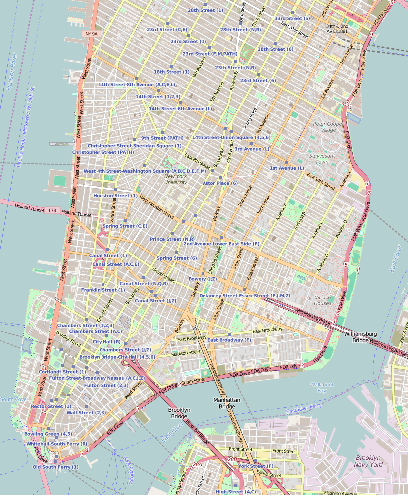
| DescriptionLocation map Lower Manhattan.png |
Map of Lower Manhattan This map of Lower Manhattan was created from OpenStreetMap project data, collected by the community. This map may be incomplete, and may contain errors. Don't rely solely on it for navigation. |
|||||||||
| Date | ||||||||||
| Source | You may find a page on the OpenStreetMap wiki page for Lower Manhattan, New York City, and a little more to the north | |||||||||
| Creator |
OpenStreetMap contributors OpenStreetMap contributors |
|||||||||
| Permission (Reusing this file) |
OpenStreetMap data is available under the Open Database License (details). Map tiles are licensed under the Creative Commons Attribution-ShareAlike 2.0 license (CC-BY-SA 2.0).
This file is licensed under the Creative Commons Attribution-Share Alike 2.0 Generic license.
|
|||||||||
| Geotemporal data | ||||||||||
| Bounding box |
|
|||||||||
| Georeferencing | Georeference the map in Wikimaps Warper If inappropriate please set warp_status = skip to hide. | |||||||||
Captions
Add a one-line explanation of what this file represents
Items portrayed in this file
depicts
File history
Click on a date/time to view the file as it appeared at that time.
| Date/Time | Thumbnail | Dimensions | User | Comment | |
|---|---|---|---|---|---|
| current | 11:52, 3 August 2016 | | 820 × 995 (1.01 MB) | Dr. Blofeld | {{Information |Description ={{en|1=f}} |Source =f |Author =f |Date =f |Permission = |other_versions = }} |
File usage
The following pages on the English Wikipedia use this file (pages on other projects are not listed):
- 116 John Street
- 203 Prince Street
- 23rd Street Fire
- 361 Broadway
- 51 Market Street
- 56 Pine Street
- 63 Wall Street
- Adath Jeshurun of Jassy Synagogue
- Alfred E. Smith House
- Angel Orensanz Center
- Beth Hamedrash Hagodol
- Bialystoker Synagogue
- Bouwerie Lane Theatre
- Cary Building (New York City)
- Charlton–King–Vandam Historic District
- Church of St. Joseph in Greenwich Village
- Club Cumming
- Colonnade Row
- Congregation Chasam Sopher
- Congregation Talmud Torah Adereth El
- Daniel LeRoy House
- Eldridge Street Synagogue
- Eleventh Street Methodist Episcopal Chapel
- Father Demo Square
- First Roumanian-American Congregation
- Fulton–Nassau Historic District
- Grace Church (Manhattan)
- Henry Street Settlement
- Hotel Albert (New York City)
- Hotel Chelsea
- Isaac T. Hopper House
- John Street Methodist Church
- Judson Memorial Church
- Kehila Kedosha Janina
- Kitchen, Montross & Wilcox Store
- Lab/Shul
- Les Trois Chevaux
- Lower East Side Tenement Museum
- MacDougal–Sullivan Gardens Historic District
- Madison Square and Madison Square Park
- Marble Collegiate Church
- Mariner's Temple
- Meatpacking District, Manhattan
- Meserich Synagogue
- Museum of Reclaimed Urban Space
- New York City Marble Cemetery
- New York Evening Post Building
- New York Landmarks Conservancy
- Odd Fellows Hall (New York City)
- Old New York Evening Post Building
- Our Lady of Pompeii Church (Manhattan)
- Pearl Street (Manhattan)
- Podhajcer Shul
- Robbins & Appleton Building
- Schermerhorn Building
- Shearwater (schooner)
- Soho Synagogue
- South Street Seaport
- St. Augustine's Church (Manhattan)
- St. James Roman Catholic Church (Manhattan)
- St. Mark's Historic District
- St. Peter's Church (Manhattan)
- Stanton Street Synagogue
- Stephen Van Rensselaer House
- The Beatrice Inn
- The Shul of New York
- TriBeCa Synagogue
- Trinity Chapel Complex
- USCGC Lilac
- Ukrainian Museum
- United States Post Office (Canal Street Station)
- United States Post Office (Cooper Station)
- United States Post Office (Knickerbocker Station)
- University Settlement Society of New York
- W. O. Decker
- Wall Street Historic District (Manhattan)
- Wavertree (ship)
- User:Armadillopteryx/sandbox/7
- User:Armadillopteryx/sandbox/8
- User:Armadillopteryx/sandbox/9
- User:Epicgenius/sandbox/draft22
- Module:Location map/data/Lower Manhattan
- Module:Location map/data/United States Lower Manhattan
- Module:Location map/data/United States Lower Manhattan/doc
Global file usage
The following other wikis use this file:
- Usage on ar.wikipedia.org
- Usage on bn.wikipedia.org
- Usage on fa.wikipedia.org
- Usage on hi.wikipedia.org
- Usage on ja.wikipedia.org
- Usage on ml.wikipedia.org
- Usage on sco.wikipedia.org
- Usage on simple.wikipedia.org
- Usage on si.wikipedia.org
- Usage on th.wikipedia.org
- Usage on ur.wikipedia.org
- Usage on vi.wikipedia.org
- Usage on zh.wikipedia.org
View more global usage of this file.
Retrieved from "https://en.wikipedia.org/wiki/File:Location_map_Lower_Manhattan.png"