File:Les-Ulis_map.png
From Wikipedia, the free encyclopedia
Size of this preview: 642 × 600 pixels. Other resolutions: 257 × 240 pixels | 514 × 480 pixels | 1,022 × 955 pixels.
Original file (1,022 × 955 pixels, file size: 315 KB, MIME type: image/png)
| This is a file from the Wikimedia Commons. Information from its description page there is shown below. Commons is a freely licensed media file repository. You can help. |
| DescriptionLes-Ulis map.png |
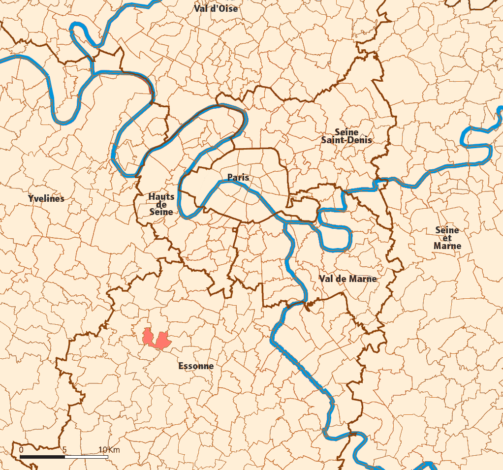
English: Location of Les Ulis. |
||||||||
| Date | 3 October 2007 (original upload date) | ||||||||
| Source | the English language Wikipedia (log) | ||||||||
| Author | Godefroy (talk). Original text: Created map myself. | ||||||||
| Permission (Reusing this file) |
original text: {{GFDL-self-no-disclaimers}}
|

Captions
Add a one-line explanation of what this file represents
Items portrayed in this file
depicts
3 October 2007
File history
Click on a date/time to view the file as it appeared at that time.
| Date/Time | Thumbnail | Dimensions | User | Comment | |
|---|---|---|---|---|---|
| current | 17:56, 4 August 2008 | | 1,022 × 955 (315 KB) | הגמל התימני | {{Information |Description=a map of Les Ulis' location |Source=en:user:Godefroy |Date=3 October [[ |]]en:user:Godefroy |Permission=GFDL by him, according to [http://en.wikipedia.org/wiki/Image:Les-Ulis_map.png] |other_versions= }} {{GFDL}} |
File usage
The following pages on the English Wikipedia use this file (pages on other projects are not listed):
Global file usage
The following other wikis use this file:
Retrieved from "https://en.wikipedia.org/wiki/File:Les-Ulis_map.png"