File:Lagos_Island-Map.png
From Wikipedia, the free encyclopedia
Size of this preview: 800 × 436 pixels. Other resolutions: 320 × 174 pixels | 640 × 349 pixels | 899 × 490 pixels.
Original file (899 × 490 pixels, file size: 78 KB, MIME type: image/png)
| This is a file from the Wikimedia Commons. Information from its description page there is shown below. Commons is a freely licensed media file repository. You can help. |
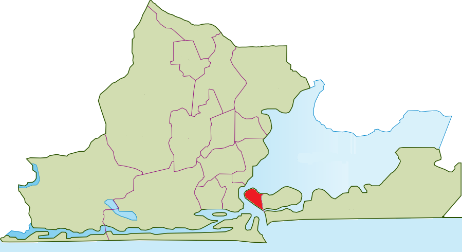
| DescriptionLagos Island-Map.png | Map of the Local Governement Areas of Lagos; Lagos Island highlighted | ||||||||
| Date | |||||||||
| Source | Own work | ||||||||
| Author | Bohr | ||||||||
| Permission (Reusing this file) |
I, the copyright holder of this work, hereby publish it under the following licenses:
You may select the license of your choice. This file is licensed under the Creative Commons Attribution-Share Alike 2.5 Generic license.
|
||||||||
| Other versions | Image:LGA Lagos.png |

Captions
Add a one-line explanation of what this file represents
Items portrayed in this file
depicts
20 October 2006
File history
Click on a date/time to view the file as it appeared at that time.
| Date/Time | Thumbnail | Dimensions | User | Comment | |
|---|---|---|---|---|---|
| current | 17:17, 20 February 2016 | | 899 × 490 (78 KB) | Jamie Tubers | correction |
| 14:33, 20 October 2006 |  | 898 × 473 (92 KB) | Bohr~commonswiki | {{Information |Description=Map of the Local Governement Areas of Lagos; Lagos Island highlighted |Source=own work |Date=20 October 2006 |Author=Bohr |Permission={{GFDL-self}} {{Cc-by-sa-2.5}} |other_versions=Image:LGA Lagos.png }} [[Ca |
File usage
The following pages on the English Wikipedia use this file (pages on other projects are not listed):
Global file usage
The following other wikis use this file:
- Usage on ca.wikipedia.org
- Usage on de.wikipedia.org
- Usage on fr.wikipedia.org
- Usage on ha.wikipedia.org
- Usage on ig.wikipedia.org
- Usage on pt.wikipedia.org
- Usage on simple.wikipedia.org
- Usage on sw.wikipedia.org
- Usage on www.wikidata.org
- Usage on yo.wikipedia.org
- Usage on zu.wikipedia.org
Metadata
This file contains additional information, probably added from the digital camera or scanner used to create or digitize it.
If the file has been modified from its original state, some details may not fully reflect the modified file.
| Horizontal resolution | 37.8 dpc |
|---|---|
| Vertical resolution | 37.8 dpc |
Retrieved from "https://en.wikipedia.org/wiki/File:Lagos_Island-Map.png"