File:Island_of_Ireland_relief_location_map.png
From Wikipedia, the free encyclopedia
Original file (1,450 × 1,807 pixels, file size: 2.07 MB, MIME type: image/png)
| This is a file from the Wikimedia Commons. Information from its description page there is shown below. Commons is a freely licensed media file repository. You can help. |
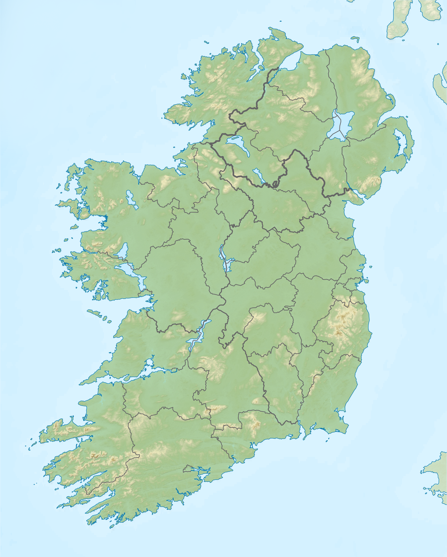
| DescriptionIsland of Ireland relief location map.png |
Relief map of Ireland Equirectangular map projection on WGS 84 datum, with N/S stretched 170% Geographic limits:
|
| Date | |
| Source |
Shuttle Radar Topography Mission
National Geospatial-Intelligence Agency
File:Island of Ireland location map.svg: Rannpháirtí anaithnid
|
| Author | Nilfanion |
| Permission (Reusing this file) |
This file is licensed under the Creative Commons Attribution-Share Alike 3.0 Unported license.
|
Captions
Items portrayed in this file
depicts
15 April 2012
File history
Click on a date/time to view the file as it appeared at that time.
| Date/Time | Thumbnail | Dimensions | User | Comment | |
|---|---|---|---|---|---|
| current | 12:36, 26 May 2019 | | 1,450 × 1,807 (2.07 MB) | RaviC | updated per Wikipedia:Graphics_Lab/Map_workshop#Ireland_Relief_Map_-_2014_Changes |
| 04:07, 8 May 2012 |  | 1,450 × 1,807 (1.75 MB) | Spideog | Removed dark blue shading at top left for aesthetic balance reasons. It was distracting, and the the map is for terrestrial rather than bathymetric purposes. | |
| 22:44, 15 April 2012 |  | 1,450 × 1,807 (1.6 MB) | Nilfanion | {{Information |Description=Relief map of Ireland Equirectangular map projection on WGS 84 datum, with N/S stretched 170% Geographic limits: *West: 11.0° W *East: 5.0° W *North: 55.6° N *South: 51.2° N |Source= [[w:Shuttle Radar Topo... |
File usage
More than 100 pages use this file. The following list shows the first 100 pages that use this file only. A full list is available.
- Achill Island
- Aer Lingus Flight 712
- Battle of Kilmallock
- Battle of the Boyne
- Ben of Howth
- Benbaun
- Bere Island
- Biddy Early
- Book of Ballymote
- Book of Leinster
- Cairn Hill transmission site
- Camaderry
- Carlingford Lough
- Carn Clonhugh
- Carrauntoohil
- Carrowkeel Megalithic Cemetery
- Carrowkennedy ambush
- Clare Island
- Clarkstown radio transmitter
- Clermont Carn
- Clonycavan Man
- Coolavokig ambush
- Copeland Islands
- Corrinshego
- Crocknalaragagh
- Crossbarry ambush
- Devil's Bit
- Djouce
- Faughan Hill
- Fenit Island
- Galtymore
- Great Book of Lecan
- Great Sugar Loaf
- Hill of Tara
- Inisheer
- Inishmaan
- Inishmore
- Irish Open (golf)
- Killary Harbour
- Kilmashogue
- Kippure
- Knockboy
- Knockeyon
- Knocknarea
- Lebor na hUidre
- Little Skellig
- Lough Allen
- Lough Carra
- Lough Derg, County Donegal
- Lough Ennell
- Lough Gill
- Lough Gur
- Lough Key
- Lough Lene
- Lough MacNean
- Lough Melvin
- Lough Owel
- Lough Ramor
- Lough Sheever
- Lough Swilly
- Luggala
- Lugnaquilla
- MacGillycuddy's Reeks
- Magh Slécht
- Mangerton Mountain
- Mount Brandon
- Mount Leinster
- Mountains of the Central Dingle Peninsula
- Mourne Mountains
- Mullaghanish
- Mullaghcleevaun
- Mweelrea
- Nephin
- Newgrange
- O'Donnell Park
- Poulaphouca
- RMS Lusitania
- Rock of Cashel
- Royal County Down Golf Club
- Royal Portrush Golf Club
- Scramoge ambush
- Scullabogue Barn massacre
- Second Battle of Athenry
- Shielmartin Hill
- Skellig Islands
- Slieve Donard
- Slieve Foy
- Slieve Gullion
- Slieve Mish Mountains
- Slievecallan
- Slievemore
- Slievenamon
- Sugarloaf (County Cork)
- Sugarloaf Hill (Knockmealdowns)
- The Valley of Knockanure
- Three Rock Mountain
- Tonelagee
- Torc Mountain
- Treaty of Limerick
- Turlough Hill
View more links to this file.
Global file usage
The following other wikis use this file:
- Usage on ar.wikipedia.org
- Usage on az.wikipedia.org
- Usage on be.wikipedia.org
- Usage on bn.wikipedia.org
- Usage on ceb.wikipedia.org
- Usage on ce.wikipedia.org
- Usage on da.wikipedia.org
- Usage on de.wikipedia.org
- Usage on es.wikipedia.org
- Usage on fa.wikipedia.org
- Usage on fr.wikipedia.org
- Usage on ga.wikipedia.org
- Usage on id.wikipedia.org
- Usage on ja.wikipedia.org
View more global usage of this file.
Metadata
This file contains additional information, probably added from the digital camera or scanner used to create or digitize it.
If the file has been modified from its original state, some details may not fully reflect the modified file.
| Horizontal resolution | 47.24 dpc |
|---|---|
| Vertical resolution | 47.24 dpc |
| Software used |