File:Image-Peru_and_Gran_Colombia_map_in_1828.PNG
From Wikipedia, the free encyclopedia
Size of this preview: 419 × 600 pixels. Other resolutions: 167 × 240 pixels | 335 × 480 pixels | 651 × 932 pixels.
Original file (651 × 932 pixels, file size: 20 KB, MIME type: image/png)
| This is a file from the Wikimedia Commons. Information from its description page there is shown below. Commons is a freely licensed media file repository. You can help. |

|
This locator map image could be re-created using vector graphics as an SVG file. This has several advantages; see Commons:Media for cleanup for more information. If an SVG form of this image is available, please upload it and afterwards replace this template with
{{vector version available|new image name}}.
It is recommended to name the SVG file “Image-Peru and Gran Colombia map in 1828.svg”—then the template Vector version available (or Vva) does not need the new image name parameter. |
Summary
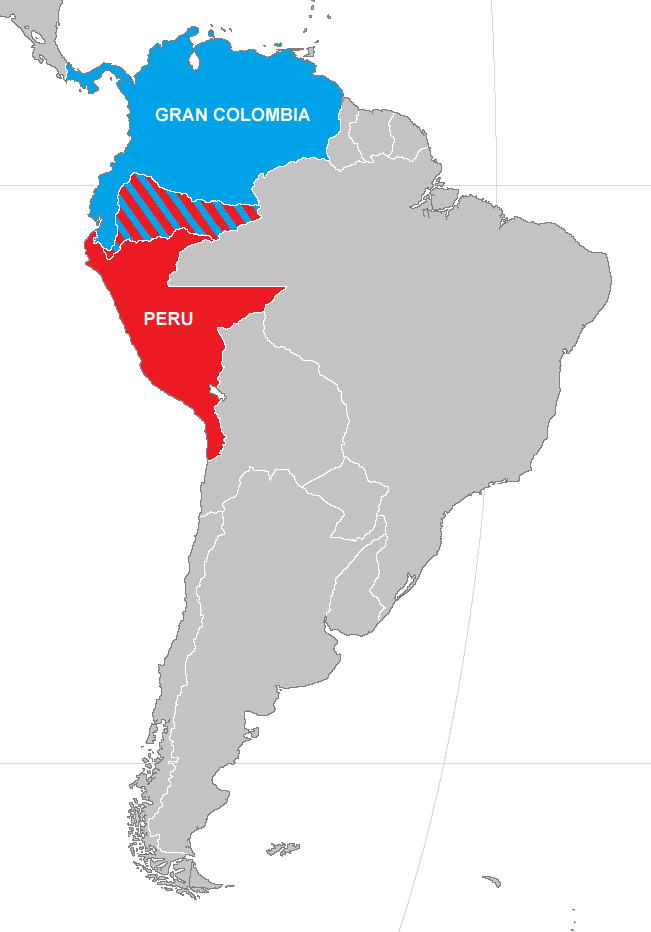
| DescriptionImage-Peru and Gran Colombia map in 1828.PNG | Map of Peru and Gran Colombia during war of 1828 |
| Date | |
| Source | Made from Image:BlankMap-World.png) |
| Author | Vivaperucarajo |
| Permission (Reusing this file) |
own work |
Licensing

|
Permission is granted to copy, distribute and/or modify this document under the terms of the GNU Free Documentation License, Version 1.2 or any later version published by the Free Software Foundation; with no Invariant Sections, no Front-Cover Texts, and no Back-Cover Texts. A copy of the license is included in the section entitled GNU Free Documentation License.http://www.gnu.org/copyleft/fdl.htmlGFDLGNU Free Documentation Licensetruetrue |
| This file is licensed under the Creative Commons Attribution-Share Alike 3.0 Unported license. | ||
| ||
| This licensing tag was added to this file as part of the GFDL licensing update.http://creativecommons.org/licenses/by-sa/3.0/CC BY-SA 3.0Creative Commons Attribution-Share Alike 3.0truetrue |
Captions
Add a one-line explanation of what this file represents
Items portrayed in this file
depicts
2008
File history
Click on a date/time to view the file as it appeared at that time.
| Date/Time | Thumbnail | Dimensions | User | Comment | |
|---|---|---|---|---|---|
| current | 02:19, 25 April 2019 | | 651 × 932 (20 KB) | Marcomogollon | Texto con los países en disputa |
| 17:42, 15 January 2015 |  | 651 × 932 (22 KB) | Milenioscuro | mejora en el mapa | |
| 21:36, 26 April 2008 |  | 420 × 620 (12 KB) | Vivaperucarajo~commonswiki | == Summary == {{Information |Description=Map of Peru and Gran Colombia during war of 1828 |Source=Made from Image:BlankMap-World.png) |Date=2008 |Author=Vivaperucarajo |Permission=own work |other_versions=none }} == Licensing: == {{GFDL}} [[Template: |
File usage
The following pages on the English Wikipedia use this file (pages on other projects are not listed):
Global file usage
The following other wikis use this file:
- Usage on ar.wikipedia.org
- Usage on az.wikipedia.org
- Usage on ca.wikipedia.org
- Usage on es.wikipedia.org
- Usage on fr.wikipedia.org
- Usage on ka.wikipedia.org
- Usage on nl.wikipedia.org
- Usage on sv.wikipedia.org
- Usage on tr.wikipedia.org
- Usage on uk.wikipedia.org
- Usage on vi.wikipedia.org
Metadata
This file contains additional information, probably added from the digital camera or scanner used to create or digitize it.
If the file has been modified from its original state, some details may not fully reflect the modified file.
| Horizontal resolution | 37.79 dpc |
|---|---|
| Vertical resolution | 37.79 dpc |