File:Ha_Long_2019_taken_by_DJI_FC220.jpg
From Wikipedia, the free encyclopedia
Size of this preview: 800 × 533 pixels. Other resolutions: 320 × 213 pixels | 640 × 427 pixels | 1,024 × 682 pixels | 1,280 × 853 pixels | 2,000 × 1,333 pixels.
Original file (2,000 × 1,333 pixels, file size: 944 KB, MIME type: image/jpeg)
| This is a file from the Wikimedia Commons. Information from its description page there is shown below. Commons is a freely licensed media file repository. You can help. |
Summary
| DescriptionHa Long 2019 taken by DJI FC220.jpg |
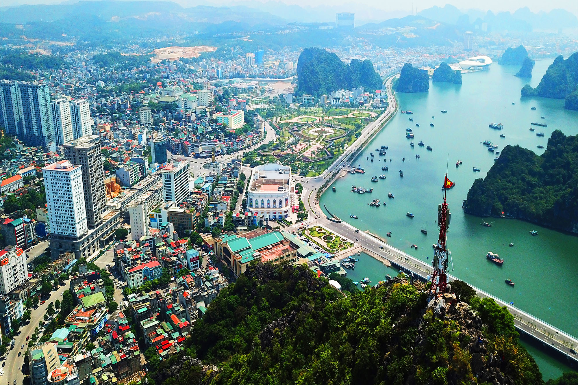
English: DCIM\100MEDIA\DJI_0556.JPG |
| Date | |
| Source | Own work |
| Author | Dratharr |
| Camera location | 20° 56′ 53.39″ N, 107° 04′ 39.72″ E | View this and other nearby images on: OpenStreetMap |
|---|
Licensing
I, the copyright holder of this work, hereby publish it under the following license:
This file is licensed under the Creative Commons Attribution-Share Alike 4.0 International license.
- You are free:
- to share – to copy, distribute and transmit the work
- to remix – to adapt the work
- Under the following conditions:
- attribution – You must give appropriate credit, provide a link to the license, and indicate if changes were made. You may do so in any reasonable manner, but not in any way that suggests the licensor endorses you or your use.
- share alike – If you remix, transform, or build upon the material, you must distribute your contributions under the same or compatible license as the original.
Captions
Ha Long city
Items portrayed in this file
depicts
some value
6 September 2019
20°56'53.390"N, 107°4'39.720"E
0.0005 second
2.2
4.73 millimetre
100
image/jpeg
File history
Click on a date/time to view the file as it appeared at that time.
| Date/Time | Thumbnail | Dimensions | User | Comment | |
|---|---|---|---|---|---|
| current | 11:08, 2 June 2021 | | 2,000 × 1,333 (944 KB) | Dratharr | Uploaded own work with UploadWizard |
File usage
The following pages on the English Wikipedia use this file (pages on other projects are not listed):
Global file usage
The following other wikis use this file:
- Usage on de.wikipedia.org
- Usage on en.wikivoyage.org
- Usage on eo.wikipedia.org
- Usage on es.wikipedia.org
- Usage on et.wikipedia.org
- Usage on fa.wikipedia.org
- Usage on fr.wikipedia.org
- Usage on id.wikipedia.org
- Usage on it.wikipedia.org
- Usage on ja.wikipedia.org
- Usage on km.wikipedia.org
- Usage on ko.wikipedia.org
- Usage on ru.wikipedia.org
- Usage on th.wikipedia.org
- Usage on vi.wikipedia.org
- Bãi Cháy
- Thành phố thuộc tỉnh (Việt Nam)
- Vùng duyên hải Bắc Bộ
- Hạ Long
- Tuần Châu
- Bản mẫu:Đơn vị hành chính thuộc thành phố Hạ Long
- Bạch Đằng, Hạ Long
- Bằng Cả
- Cao Thắng (phường)
- Cao Xanh
- Dân Chủ, Hạ Long
- Đồng Lâm
- Đồng Sơn, Hạ Long
- Giếng Đáy
- Hà Khánh
- Hà Lầm
- Hà Phong
- Hà Trung (phường)
- Hà Tu
- Hòa Bình, Hạ Long
- Hồng Hà, Hạ Long
- Hùng Thắng (phường)
- Kỳ Thượng, Hạ Long
- Lê Lợi, Hạ Long
- Quảng La
- Sơn Dương (xã)
- Tân Dân, Hạ Long
- Thống Nhất, Hạ Long
- Trần Hưng Đạo, Hạ Long
- Hoành Bồ
- Việt Hưng, Hạ Long
- Vũ Oai
- Yết Kiêu, Hạ Long
- Đại Yên (phường)
- Hồng Gai
- Hồng Hải (phường)
View more global usage of this file.
Metadata
This file contains additional information, probably added from the digital camera or scanner used to create or digitize it.
If the file has been modified from its original state, some details may not fully reflect the modified file.
| Image title |
|
|---|---|
| Camera manufacturer | DJI |
| Camera model | FC220 |
| Exposure time | 1/2,000 sec (0.0005) |
| F-number | f/2.2 |
| ISO speed rating | 100 |
| Date and time of data generation | 11:01, 6 September 2019 |
| Lens focal length | 4.73 mm |
| Latitude | 20° 56′ 53.39″ N |
| Longitude | 107° 4′ 39.72″ E |
| Altitude | 304.358 meters above sea level |
| Width | 4,000 px |
| Height | 2,250 px |
| Bits per component |
|
| Pixel composition | RGB |
| Orientation | Normal |
| Number of components | 3 |
| Horizontal resolution | 72 dpi |
| Vertical resolution | 72 dpi |
| Software used | Adobe Photoshop CC 2015 (Windows) |
| File change date and time | 22:09, 19 September 2019 |
| Y and C positioning | Centered |
| Exposure Program | Manual |
| Exif version | 2.3 |
| Date and time of digitizing | 11:01, 6 September 2019 |
| Meaning of each component |
|
| Image compression mode | 2.9987608891559 |
| Shutter speed | 10.965 |
| APEX aperture | 2.27 |
| Exposure bias | 0 |
| Maximum land aperture | 2.27 APEX (f/2.2) |
| Subject distance | 0 meters |
| Metering mode | Center weighted average |
| Light source | Unknown |
| Flash | Flash did not fire, No flash function |
| Supported Flashpix version | 0.1 |
| Color space | sRGB |
| Exposure index | 0 |
| File source | Digital still camera |
| Scene type | A directly photographed image |
| Custom image processing | Normal process |
| Exposure mode | Manual exposure |
| White balance | Auto white balance |
| Digital zoom ratio | 0 |
| Focal length in 35 mm film | 26 mm |
| Scene capture type | Standard |
| Scene control | None |
| Contrast | Normal |
| Saturation | Normal |
| Sharpness | Normal |
| Subject distance range | Unknown |
| GPS tag version | 0.0.3.2 |
| Date metadata was last modified | 05:09, 20 September 2019 |
| Unique ID of original document | 7D1F77CBDB45397C3135DB67FE594661 |
| IIM version | 2 |