File:Greece-satellite-map.jpg
From Wikipedia, the free encyclopedia
Size of this preview: 564 × 600 pixels. Other resolutions: 226 × 240 pixels | 451 × 480 pixels | 867 × 922 pixels.
Original file (867 × 922 pixels, file size: 111 KB, MIME type: image/jpeg)
| This is a file from the Wikimedia Commons. Information from its description page there is shown below. Commons is a freely licensed media file repository. You can help. |
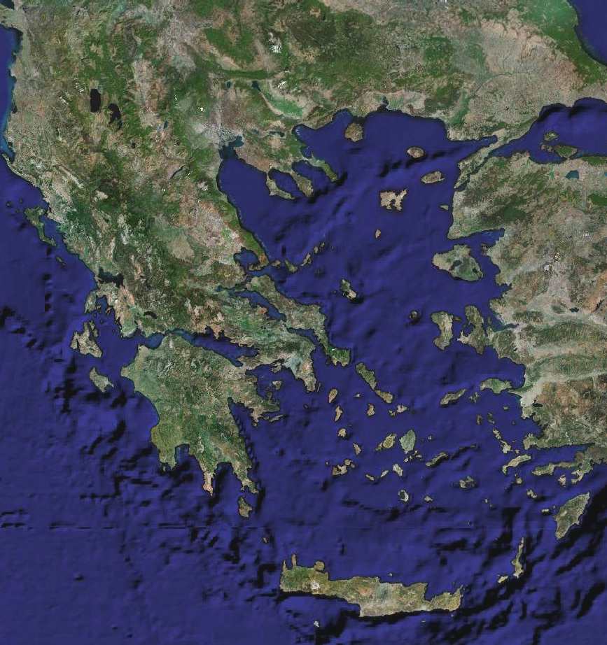
Summary
Satellite map of Greece
Author=-Odysses 08:30, 11 April 2007 (UTC) Permission=Own work, share alike, Commons
Licensing
| Public domainPublic domainfalsefalse |
| This file is in the public domain in the United States because it was solely created by NASA. NASA copyright policy states that "NASA material is not protected by copyright unless noted". (See Template:PD-USGov, NASA copyright policy page or JPL Image Use Policy.) | ||
 |
Warnings:
|
File history
Click on a date/time to view the file as it appeared at that time.
| Date/Time | Thumbnail | Dimensions | User | Comment | |
|---|---|---|---|---|---|
| current | 08:30, 11 April 2007 | | 867 × 922 (111 KB) | Odysses~commonswiki | Satellite map of Greece Author=-~~~~ Permission=Own work, share alike, Commons |
File usage
No pages on the English Wikipedia use this file (pages on other projects are not listed).
Global file usage
The following other wikis use this file:
- Usage on el.wiktionary.org
Metadata
This file contains additional information, probably added from the digital camera or scanner used to create or digitize it.
If the file has been modified from its original state, some details may not fully reflect the modified file.
| _error | 0 |
|---|
Retrieved from "https://en.wikipedia.org/wiki/File:Greece-satellite-map.jpg"