File:Eugene_Oregon_-_OpenStreetMap.png
From Wikipedia, the free encyclopedia
Size of this preview: 667 × 599 pixels. Other resolutions: 267 × 240 pixels | 534 × 480 pixels | 975 × 876 pixels.
Original file (975 × 876 pixels, file size: 762 KB, MIME type: image/png)
| This is a file from the Wikimedia Commons. Information from its description page there is shown below. Commons is a freely licensed media file repository. You can help. |
| DescriptionEugene Oregon - OpenStreetMap.png |
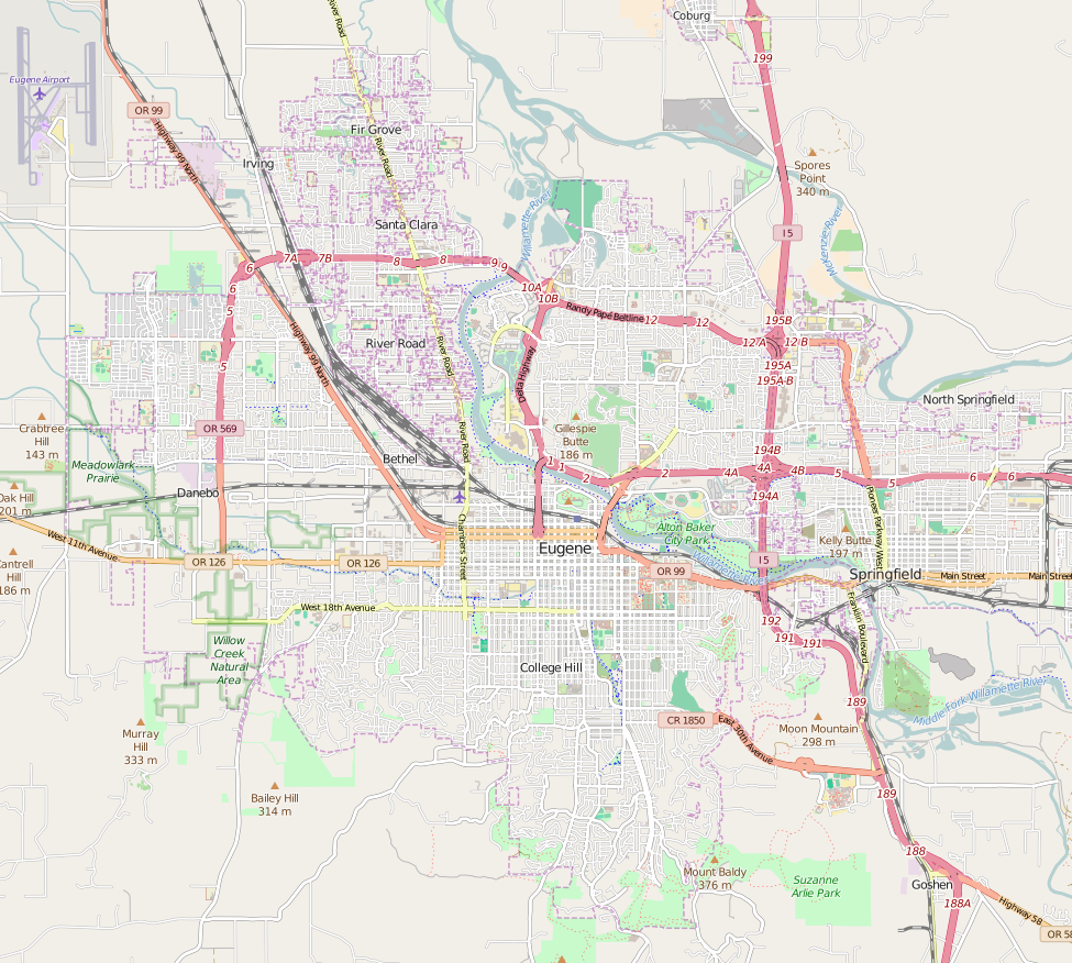
Map of Eugene, Oregon This map of Eugene was created from OpenStreetMap project data, collected by the community. This map may be incomplete, and may contain errors. Don't rely solely on it for navigation. |
|||||||||
| Date | ||||||||||
| Source | You may find a page on the OpenStreetMap wiki page for Eugene | |||||||||
| Creator |
OpenStreetMap contributors OpenStreetMap contributors |
|||||||||
| Permission (Reusing this file) |
OpenStreetMap data is available under the Open Database License (details). Map tiles are licensed under the Creative Commons Attribution-ShareAlike 2.0 license (CC-BY-SA 2.0).
This file is licensed under the Creative Commons Attribution-Share Alike 2.0 Generic license.
|
|||||||||
| Geotemporal data | ||||||||||
| Bounding box |
|
|||||||||
| Georeferencing | Georeference the map in Wikimaps Warper If inappropriate please set warp_status = skip to hide. | |||||||||
Captions
Add a one-line explanation of what this file represents
Items portrayed in this file
depicts
File history
Click on a date/time to view the file as it appeared at that time.
| Date/Time | Thumbnail | Dimensions | User | Comment | |
|---|---|---|---|---|---|
| current | 22:48, 11 April 2016 | | 975 × 876 (762 KB) | Tagishsimon | amended bounds (part 2) |
| 20:19, 10 April 2016 |  | 1,086 × 847 (542 KB) | Tagishsimon | Amended bounds | |
| 02:31, 10 April 2016 |  | 908 × 795 (694 KB) | Tagishsimon | User created page with UploadWizard |
File usage
The following pages on the English Wikipedia use this file (pages on other projects are not listed):
- A. V. Peters House
- Abraham and Phoebe Ball House
- Alpha Phi Sorority House (Eugene, Oregon)
- Autzen Stadium
- Ax Billy Department Store
- Baldwin Market
- Benjamin Franklin Dorris House
- Chase Gardens Residential Grouping
- Clarence and Ethel Boyer House
- Daniel and Catherine Christian House
- Dorris Apartments
- Elmer Harlow House
- Eugene Hotel
- Eugene Station (Lane Transit District)
- Frank L. and Ida H. Chambers House
- Fred E. Chambers House and Grounds
- Gamma Phi Beta Sorority House (Eugene, Oregon)
- Howard A. Hall House
- Hult Center for the Performing Arts
- Johnson Hall (Eugene, Oregon)
- Lane County Clerk's Building
- Lane Hotel (Eugene, Oregon)
- Matthew Knight Arena
- McDonald Theatre
- Oregon Electric Railway Passenger Station
- Rice Apartments
- Shelton McMurphey Johnson House
- Skinner Butte
- Springfield station (Oregon)
- Temple Beth Israel (Eugene, Oregon)
- W.O.W. Hall
- Wallace and Glenn Potter House
- Wilder Apartments
- Willakenzie Grange Hall
- Windsor W. Calkins House
- User talk:Another Believer/Archive 16
- Wikipedia:WikiProject Oregon/Graphics
- Wikipedia talk:WikiProject Oregon/Archive 26
- Module:Location map/data/USA Oregon Eugene
- Module:Location map/data/USA Oregon Eugene/doc
Global file usage
The following other wikis use this file:
- Usage on ar.wikipedia.org
- Usage on fr.wikipedia.org
- Usage on si.wikipedia.org
Retrieved from "https://en.wikipedia.org/wiki/File:Eugene_Oregon_-_OpenStreetMap.png"