File:Dunbar_Railway_Station_(geograph_6369071).jpg
From Wikipedia, the free encyclopedia
Size of this preview: 800 × 538 pixels. Other resolutions: 320 × 215 pixels | 640 × 430 pixels | 1,024 × 688 pixels.
Original file (1,024 × 688 pixels, file size: 525 KB, MIME type: image/jpeg)
| This is a file from the Wikimedia Commons. Information from its description page there is shown below. Commons is a freely licensed media file repository. You can help. |
Summary
| DescriptionDunbar Railway Station (geograph 6369071).jpg |
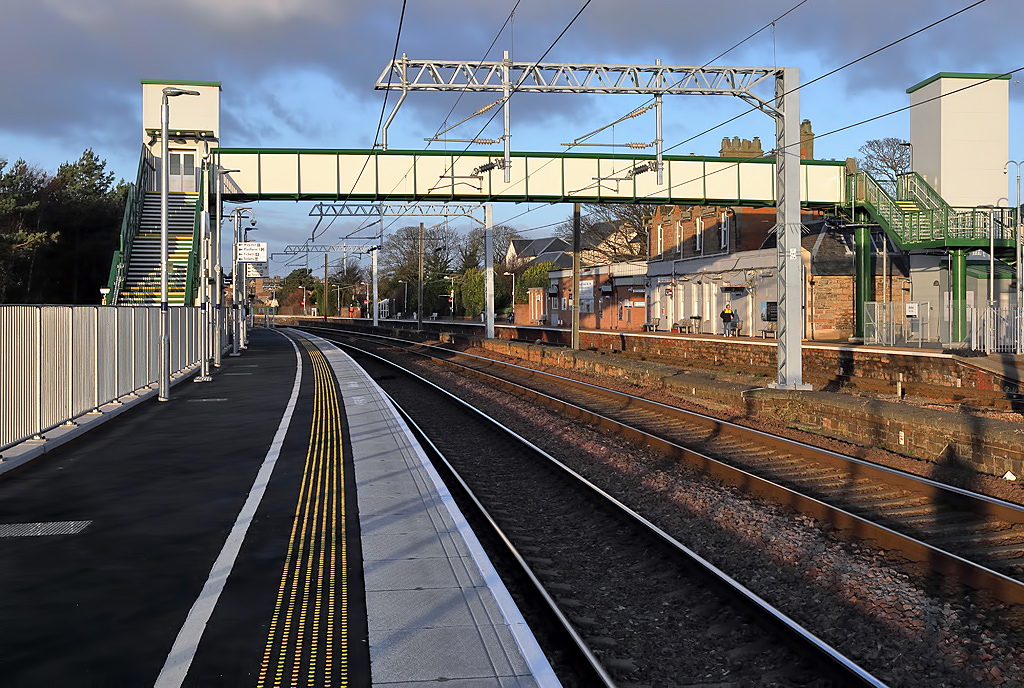
English: Dunbar Railway Station |
| Date | |
| Source | From geograph.org.uk |
| Author | Walter Baxter |
| Permission (Reusing this file) |
Creative Commons Attribution Share-alike license 2.0 |
| Attribution (required by the license) InfoField | Walter Baxter / Dunbar Railway Station / |
InfoField | Walter Baxter / Dunbar Railway Station |
| Camera location | 55° 59′ 51.9″ N, 2° 30′ 46″ W | View this and other nearby images on: OpenStreetMap |
|---|
| Object location | 55° 59′ 52.2″ N, 2° 30′ 47″ W | View this and other nearby images on: OpenStreetMap |
|---|
Licensing

|
This image was taken from the Geograph project collection. See this photograph's page on the Geograph website for the photographer's contact details. The copyright on this image is owned by Walter Baxter and is licensed for reuse under the Creative Commons Attribution-ShareAlike 2.0 license.
|
This file is licensed under the Creative Commons Attribution-Share Alike 2.0 Generic license.
Attribution: Walter Baxter
- You are free:
- to share – to copy, distribute and transmit the work
- to remix – to adapt the work
- Under the following conditions:
- attribution – You must give appropriate credit, provide a link to the license, and indicate if changes were made. You may do so in any reasonable manner, but not in any way that suggests the licensor endorses you or your use.
- share alike – If you remix, transform, or build upon the material, you must distribute your contributions under the same or compatible license as the original.
Captions
Add a one-line explanation of what this file represents
Items portrayed in this file
depicts
55°59'51.918"N, 2°30'46.289"W
15 January 2020
55°59'52.22"N, 2°30'47.45"W
File history
Click on a date/time to view the file as it appeared at that time.
| Date/Time | Thumbnail | Dimensions | User | Comment | |
|---|---|---|---|---|---|
| current | 01:57, 15 May 2020 | | 1,024 × 688 (525 KB) | User.who.is.anonymous | Transferred from geograph.co.uk using [https://tools.wmflabs.org/geograph2commons/ geograph2commons] |
File usage
The following pages on the English Wikipedia use this file (pages on other projects are not listed):
Global file usage
The following other wikis use this file:
Metadata
This file contains additional information, probably added from the digital camera or scanner used to create or digitize it.
If the file has been modified from its original state, some details may not fully reflect the modified file.
| Camera manufacturer | Canon |
|---|---|
| Camera model | Canon EOS 5D Mark IV |
| Author | Walter_Baxter |
| Copyright holder |
|
| Exposure time | 1/640 sec (0.0015625) |
| F-number | f/16 |
| ISO speed rating | 1,250 |
| Date and time of data generation | 09:36, 15 January 2020 |
| Lens focal length | 45 mm |
| Latitude | 55° 59′ 51.52″ N |
| Longitude | 2° 30′ 45.55″ W |
| Altitude | 49 meters above sea level |
| Width | 5,040 px |
| Height | 3,360 px |
| Bits per component |
|
| Pixel composition | RGB |
| Orientation | Normal |
| Number of components | 3 |
| Horizontal resolution | 350 dpi |
| Vertical resolution | 350 dpi |
| Software used | Adobe Photoshop Elements 11.0 Windows |
| File change date and time | 12:22, 16 January 2020 |
| Y and C positioning | Centered |
| Exposure Program | Aperture priority |
| Exif version | 2.31 |
| Date and time of digitizing | 09:36, 15 January 2020 |
| Meaning of each component |
|
| Shutter speed | 9.375 |
| APEX aperture | 8 |
| Exposure bias | −1.3333333333333 |
| Maximum land aperture | 4 APEX (f/4) |
| Metering mode | Pattern |
| Flash | Flash did not fire, compulsory flash suppression |
| DateTime subseconds | 00 |
| DateTimeOriginal subseconds | 00 |
| DateTimeDigitized subseconds | 00 |
| Supported Flashpix version | 1 |
| Color space | sRGB |
| Focal plane X resolution | 4,289.3617021277 |
| Focal plane Y resolution | 4,296.6751918159 |
| Focal plane resolution unit | inches |
| Custom image processing | Normal process |
| Exposure mode | Auto exposure |
| White balance | Auto white balance |
| Scene capture type | Standard |
| GPS time (atomic clock) | 09:38:6.903 |
| Satellites used for measurement | 6 |
| Receiver status | Measurement in progress |
| Measurement mode | 3-dimensional measurement |
| Measurement precision | Poor (2.9) |
| Geodetic survey data used | WGS-84 |
| GPS date | 15 January 2020 |
| GPS tag version | 0.0.3.2 |
| Serial number of camera | 373037002961 |
| Lens used | EF24-105mm f/4L IS USM |
| Rating (out of 5) | 0 |
| Date metadata was last modified | 12:22, 16 January 2020 |
| Unique ID of original document | 8F0F432A77251D4C358810698A4A5A86 |
| IIM version | 101 |
.jpg)