File:Damascus_Straight_Street.jpg
From Wikipedia, the free encyclopedia
Original file (3,024 × 3,219 pixels, file size: 2.49 MB, MIME type: image/jpeg)
| This is a file from the Wikimedia Commons. Information from its description page there is shown below. Commons is a freely licensed media file repository. You can help. |
Summary
| DescriptionDamascus Straight Street.jpg |
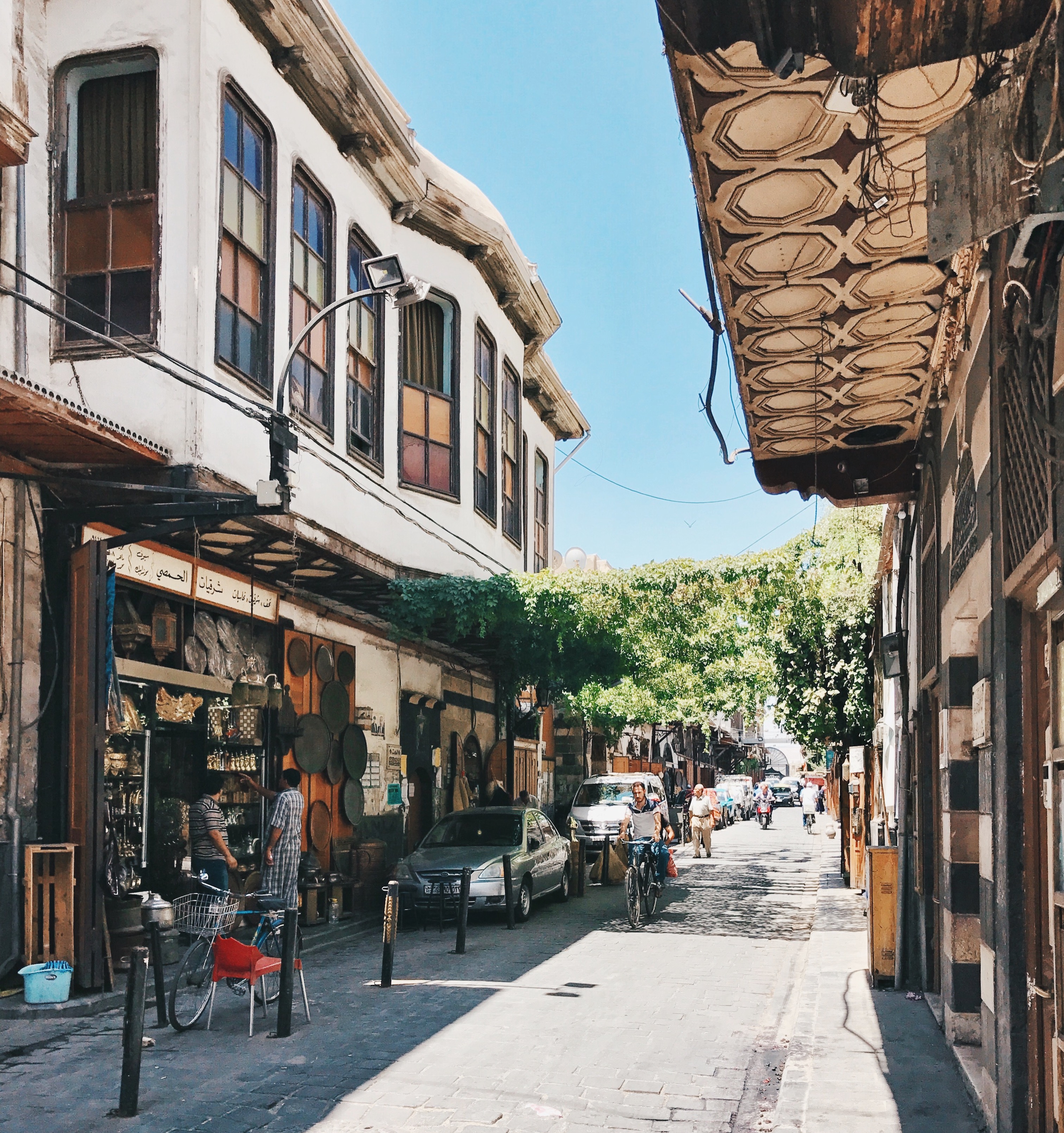
English: Damascus Straight Street in the Old City of Damascus
|
||
| Date | |||
| Source |
Own work
|
||
| Author | Bassel Khabbaz |
| Camera location | 34° 46′ 18″ N, 36° 16′ 49.47″ E | View this and other nearby images on: OpenStreetMap |
|---|
Licensing
- You are free:
- to share – to copy, distribute and transmit the work
- to remix – to adapt the work
- Under the following conditions:
- attribution – You must give appropriate credit, provide a link to the license, and indicate if changes were made. You may do so in any reasonable manner, but not in any way that suggests the licensor endorses you or your use.
- share alike – If you remix, transform, or build upon the material, you must distribute your contributions under the same or compatible license as the original.

|
This image was uploaded as part of Wiki Loves Monuments 2018.
Afrikaans ∙ Alemannisch ∙ azərbaycanca ∙ Bahasa Indonesia ∙ Bahasa Melayu ∙ Bikol Central ∙ bosanski ∙ brezhoneg ∙ català ∙ čeština ∙ Cymraeg ∙ dansk ∙ davvisámegiella ∙ Deutsch ∙ eesti ∙ English ∙ español ∙ Esperanto ∙ euskara ∙ français ∙ Frysk ∙ Gaeilge ∙ galego ∙ hrvatski ∙ Ido ∙ italiano ∙ latviešu ∙ Lëtzebuergesch ∙ Malagasy ∙ magyar ∙ Malti ∙ Nederlands ∙ norsk ∙ norsk nynorsk ∙ norsk bokmål ∙ polski ∙ português ∙ português do Brasil ∙ română ∙ shqip ∙ sicilianu ∙ slovenčina ∙ slovenščina ∙ suomi ∙ svenska ∙ Tagalog ∙ Türkçe ∙ Yorùbá ∙ Zazaki ∙ Ελληνικά ∙ беларуская ∙ беларуская (тарашкевіца) ∙ български ∙ кыргызча ∙ македонски ∙ русский ∙ српски / srpski ∙ українська ∙ ქართული ∙ հայերեն ∙ नेपाली ∙ हिन्दी ∙ বাংলা ∙ മലയാളം ∙ ไทย ∙ 한국어 ∙ +/− |
 |
Captions
Items portrayed in this file
depicts
10 July 2017
34°46'18.001"N, 36°16'49.469"E
image/jpeg
File history
Click on a date/time to view the file as it appeared at that time.
| Date/Time | Thumbnail | Dimensions | User | Comment | |
|---|---|---|---|---|---|
| current | 10:32, 8 September 2018 | | 3,024 × 3,219 (2.49 MB) | Bassel.Khabbaz | User created page with UploadWizard |
File usage
Global file usage
The following other wikis use this file:
- Usage on ca.wikipedia.org
- Usage on fi.wikipedia.org
- Usage on hr.wikipedia.org
Metadata
This file contains additional information, probably added from the digital camera or scanner used to create or digitize it.
If the file has been modified from its original state, some details may not fully reflect the modified file.
| Image title | Processed with VSCO with hb2 preset |
|---|---|
| Camera manufacturer | Apple |
| Camera model | iPhone 7 |
| Copyright holder | Copyright 2017. All rights reserved. |
| Date and time of data generation | 08:52, 10 July 2017 |
| User comments | Processed with VSCO with hb2 preset |
| Latitude | 34° 46′ 18″ N |
| Longitude | 36° 16′ 49.47″ E |
| Altitude | 419.847 meters above sea level |
| Orientation | Normal |
| Horizontal resolution | 72 dpi |
| Vertical resolution | 72 dpi |
| Software used | |
| File change date and time | 08:52, 10 July 2017 |
| Y and C positioning | Centered |
| Exif version | 2.21 |
| Date and time of digitizing | 08:52, 10 July 2017 |
| Meaning of each component |
|
| Supported Flashpix version | 1 |
| Color space | sRGB |
| Scene capture type | Standard |
| GPS time (atomic clock) | 10:25:13.45 |
| Measurement precision | Poor (165) |
| GPS date | 12 July 2017 |
| IIM version | 2 |