File:Cliffe_Woods_Village_Sign_-_geograph.org.uk_-_1084409.jpg
From Wikipedia, the free encyclopedia
No higher resolution available.
Cliffe_Woods_Village_Sign_-_geograph.org.uk_-_1084409.jpg (640 × 481 pixels, file size: 66 KB, MIME type: image/jpeg)
| This is a file from the Wikimedia Commons. Information from its description page there is shown below. Commons is a freely licensed media file repository. You can help. |
Summary
| DescriptionCliffe Woods Village Sign - geograph.org.uk - 1084409.jpg |
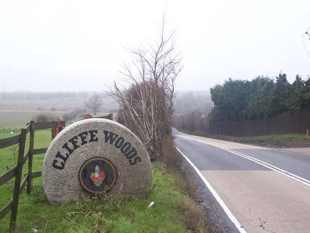
English: Cliffe Woods Village Sign On BS2000 Town Road towards Cliffe Woods. Opposite Lee Green Road. |
| Date | |
| Source | From geograph.org.uk |
| Author | David Anstiss |
| Attribution (required by the license) InfoField | David Anstiss / Cliffe Woods Village Sign / |
InfoField | David Anstiss / Cliffe Woods Village Sign |
| Camera location | 51° 25′ 33″ N, 0° 29′ 28″ E | View this and other nearby images on: OpenStreetMap |
|---|
| Object location | 51° 25′ 34″ N, 0° 29′ 28″ E | View this and other nearby images on: OpenStreetMap |
|---|
Licensing

|
This image was taken from the Geograph project collection. See this photograph's page on the Geograph website for the photographer's contact details. The copyright on this image is owned by David Anstiss and is licensed for reuse under the Creative Commons Attribution-ShareAlike 2.0 license.
|
This file is licensed under the Creative Commons Attribution-Share Alike 2.0 Generic license.
Attribution: David Anstiss
- You are free:
- to share – to copy, distribute and transmit the work
- to remix – to adapt the work
- Under the following conditions:
- attribution – You must give appropriate credit, provide a link to the license, and indicate if changes were made. You may do so in any reasonable manner, but not in any way that suggests the licensor endorses you or your use.
- share alike – If you remix, transform, or build upon the material, you must distribute your contributions under the same or compatible license as the original.
Captions
Add a one-line explanation of what this file represents
Items portrayed in this file
depicts
some value
51°25'32.81"N, 0°29'27.96"E
14 December 2008
51°25'33.78"N, 0°29'27.96"E
image/jpeg
ec7ffd9fa312b03edd3488820683c6b32d0e4f57
67,433 byte
481 pixel
640 pixel
File history
Click on a date/time to view the file as it appeared at that time.
| Date/Time | Thumbnail | Dimensions | User | Comment | |
|---|---|---|---|---|---|
| current | 10:19, 24 February 2011 | | 640 × 481 (66 KB) | GeographBot | == {{int:filedesc}} == {{Information |description={{en|1=Cliffe Woods Village Sign On BS2000 Town Road towards Cliffe Woods. Opposite Lee Green Road.}} |date=2008-12-14 |source=From [http://www.geograph.org.uk/photo/1084409 geograph.org.uk] |author=[http: |
File usage
The following pages on the English Wikipedia use this file (pages on other projects are not listed):
Global file usage
The following other wikis use this file:
- Usage on es.wikipedia.org
- Usage on fr.wikipedia.org
- Usage on pl.wikipedia.org
- Usage on www.wikidata.org
Metadata
This file contains additional information, probably added from the digital camera or scanner used to create or digitize it.
If the file has been modified from its original state, some details may not fully reflect the modified file.
| _error | 0 |
|---|