File:China_Xinjiang_relief_location_map.jpg
From Wikipedia, the free encyclopedia
Original file (2,220 × 1,939 pixels, file size: 1.38 MB, MIME type: image/jpeg)
| This is a file from the Wikimedia Commons. Information from its description page there is shown below. Commons is a freely licensed media file repository. You can help. |
| The image contains one or several undisputed inaccuracies.
It should not be used to illustrate or provide information about the subject, but may be kept in order to provide the basis for a corrected image. If you disagree that it may be useful for this purpose feel free to request deletion. |
This file requires updating because: The China-Tajikistan border has changed, the Kazakhstan-Russia border is inexplicably missing, Kunyu, Xinjiang is not included, etc. problems In doing so, you could add a timestamp to the file.
|
Summary
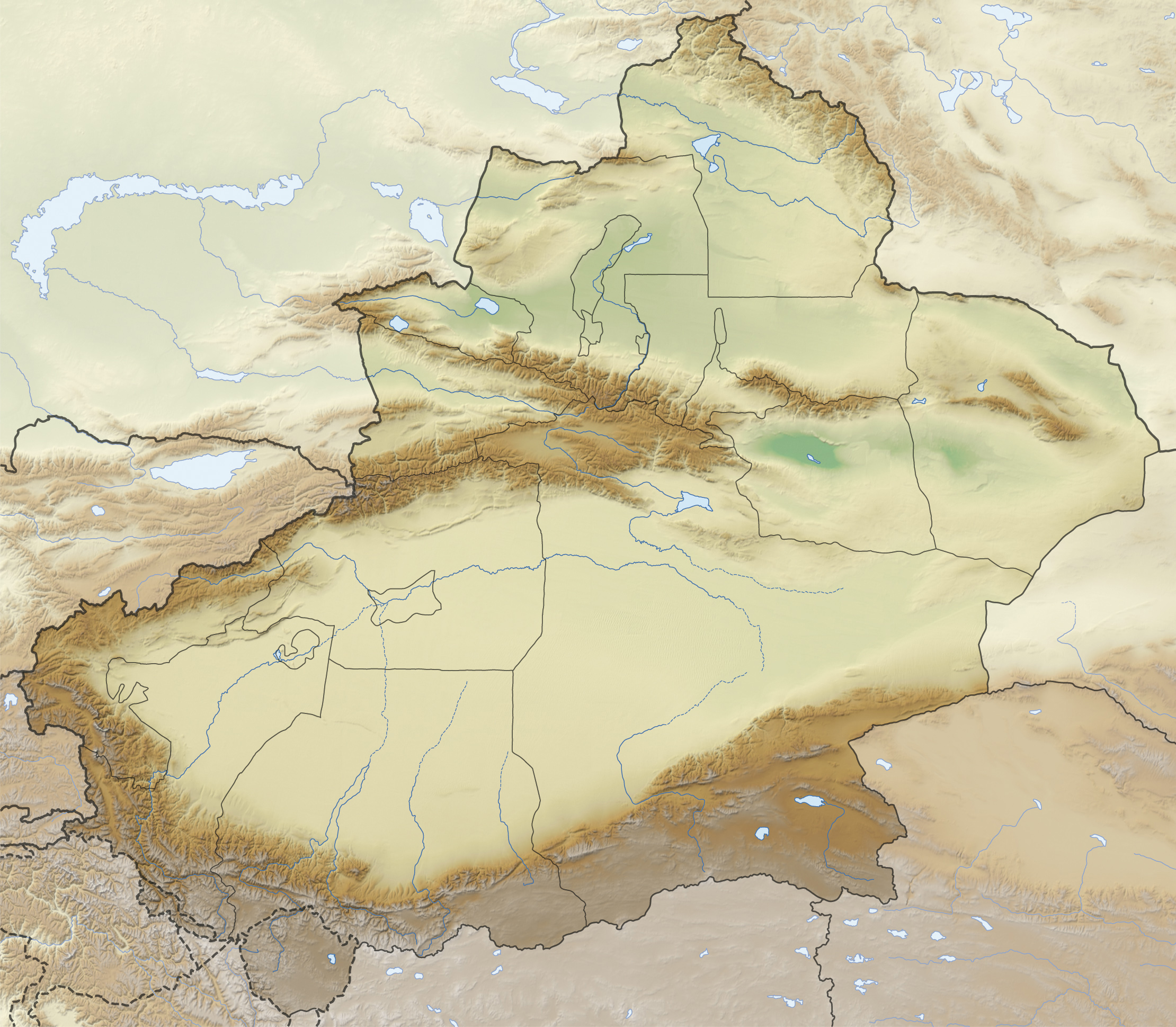
| DescriptionChina Xinjiang relief location map.jpg |
Quadratische Plattkarte, N-S-Streckung 135 %. Geographische Begrenzung der Karte:
Equirectangular projection, N/S stretching 135 %. Geographic limits of the map:
|
|
| Date | ||
| Source |
Own work, using
|
|
| Author | NordNordWest | |
| Permission (Reusing this file) |
This file is licensed under the Creative Commons Attribution-Share Alike 3.0 Germany license.
 |
|
| Other versions |
|


|
This map has been made or improved in the German Kartenwerkstatt (Map Lab). You can propose maps to improve as well.
azərbaycanca ∙ čeština ∙ Deutsch ∙ Deutsch (Sie-Form) ∙ English ∙ español ∙ français ∙ italiano ∙ latviešu ∙ magyar ∙ Nederlands ∙ Plattdüütsch ∙ polski ∙ português ∙ română ∙ sicilianu ∙ slovenščina ∙ suomi ∙ македонски ∙ русский ∙ ქართული ∙ հայերեն ∙ বাংলা ∙ ไทย ∙ +/−
|
Licensing
- You are free:
- to share – to copy, distribute and transmit the work
- to remix – to adapt the work
- Under the following conditions:
- attribution – You must give appropriate credit, provide a link to the license, and indicate if changes were made. You may do so in any reasonable manner, but not in any way that suggests the licensor endorses you or your use.
- share alike – If you remix, transform, or build upon the material, you must distribute your contributions under the same or compatible license as the original.
Captions
Items portrayed in this file
depicts
26 November 2012
image/jpeg
d3760f24f0ab53c1157cbbd7a435a4cecae29c03
1,451,897 byte
1,939 pixel
2,220 pixel
File history
Click on a date/time to view the file as it appeared at that time.
| Date/Time | Thumbnail | Dimensions | User | Comment | |
|---|---|---|---|---|---|
| current | 15:36, 28 December 2012 | | 2,220 × 1,939 (1.38 MB) | NordNordWest | upd |
| 21:38, 26 November 2012 |  | 2,220 × 1,939 (1.38 MB) | NordNordWest | =={{int:filedesc}}== {{Information |Description= {{de|Positionskarte von Xinjiang, Volksrepublik China}} Quadratische Plattkarte, N-S-Streckung 135 %. Geographische Begrenzung der Karte: * N: 49.4° N * S: 3... |
File usage
Global file usage
The following other wikis use this file:
- Usage on arz.wikipedia.org
- Usage on bg.wikipedia.org
- Кашгар
- Турфан
- Лобнор
- Урумчи
- Корла
- Аксу
- Шъхъдзъ
- Хотан
- Тарим
- Шаблон:ПК Китай Синдзян-уйгурски автономен регион
- Ебинур
- Карашар
- Куча
- Турфанска падина
- Манас (река в Китай)
- Руски хребет
- Тарбагатай
- Хами
- Черчен (река)
- Черчен
- Яркенд
- Саур
- Емел
- Текес
- Артуш
- Алтънтаг
- Аркатаг
- Богдо Ула
- Кашгарски хребет
- Конгур (планински масив)
- Куруктаг
- Гашунска Гоби
- Кулджинска равнина
- Хамийска котловина
- Боротала
- Каш
- Керия
- Кончедаря
- Кунгес
- Урунгу
- Хотан (река)
- Яркенд (река)
- Баграшкьол
- Баркьол
- Айдънкьол
- Карабуранкьол
- Улюнгур
- Гьоздаря
- Usage on ce.wikipedia.org
View more global usage of this file.
Metadata
This file contains additional information, probably added from the digital camera or scanner used to create or digitize it.
If the file has been modified from its original state, some details may not fully reflect the modified file.
| Orientation | Normal |
|---|---|
| Horizontal resolution | 72 dpi |
| Vertical resolution | 72 dpi |
| Software used | Adobe Photoshop CS4 Macintosh |
| File change date and time | 16:34, 28 December 2012 |
| Color space | Uncalibrated |
| Image width | 2,220 px |
| Image height | 1,939 px |
| Date and time of digitizing | 23:25, 26 November 2012 |
| Date metadata was last modified | 17:34, 28 December 2012 |
| Unique ID of original document | xmp.did:74117FE320071168A7BADDC38E4CB531 |