File:Captain_Cooks_House_2013-09-05_10-02-00.jpg
From Wikipedia, the free encyclopedia
Original file (2,592 × 1,552 pixels, file size: 917 KB, MIME type: image/jpeg)
| This is a file from the Wikimedia Commons. Information from its description page there is shown below. Commons is a freely licensed media file repository. You can help. |
Summary
| DescriptionCaptain Cooks House 2013-09-05 10-02-00.jpg |
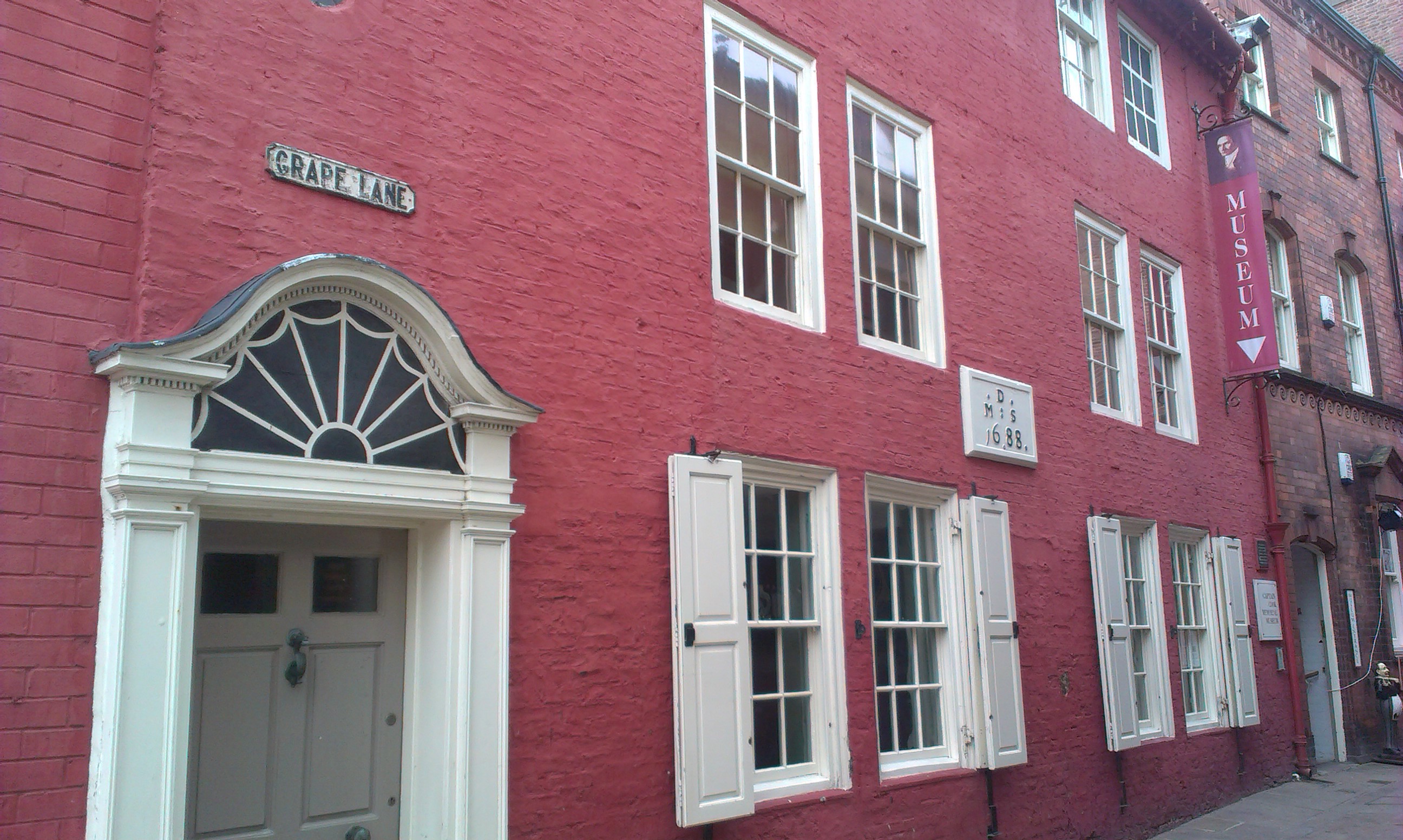
English: Captain Cooks House
|
||
| Date | |||
| Source |
Own work
|
||
| Author | aude |
| Camera location | 54° 29′ 12.43″ N, 0° 36′ 41.88″ W | View this and other nearby images on: OpenStreetMap |
|---|
Upload more photos of this monument
Licensing
- You are free:
- to share – to copy, distribute and transmit the work
- to remix – to adapt the work
- Under the following conditions:
- attribution – You must give appropriate credit, provide a link to the license, and indicate if changes were made. You may do so in any reasonable manner, but not in any way that suggests the licensor endorses you or your use.
- share alike – If you remix, transform, or build upon the material, you must distribute your contributions under the same or compatible license as the original.

|
This image was uploaded as part of Wiki Loves Monuments 2013.
Afrikaans ∙ Alemannisch ∙ azərbaycanca ∙ Bahasa Indonesia ∙ Bahasa Melayu ∙ Bikol Central ∙ bosanski ∙ brezhoneg ∙ català ∙ čeština ∙ Cymraeg ∙ dansk ∙ davvisámegiella ∙ Deutsch ∙ eesti ∙ English ∙ español ∙ Esperanto ∙ euskara ∙ français ∙ Frysk ∙ Gaeilge ∙ galego ∙ hrvatski ∙ Ido ∙ italiano ∙ latviešu ∙ Lëtzebuergesch ∙ Malagasy ∙ magyar ∙ Malti ∙ Nederlands ∙ norsk ∙ norsk nynorsk ∙ norsk bokmål ∙ polski ∙ português ∙ português do Brasil ∙ română ∙ shqip ∙ sicilianu ∙ slovenčina ∙ slovenščina ∙ suomi ∙ svenska ∙ Tagalog ∙ Türkçe ∙ Yorùbá ∙ Zazaki ∙ Ελληνικά ∙ беларуская ∙ беларуская (тарашкевіца) ∙ български ∙ кыргызча ∙ македонски ∙ русский ∙ српски / srpski ∙ українська ∙ ქართული ∙ հայերեն ∙ नेपाली ∙ हिन्दी ∙ বাংলা ∙ മലയാളം ∙ ไทย ∙ 한국어 ∙ +/− |
Captions
Items portrayed in this file
depicts
5 September 2013
54°29'12.430"N, 0°36'41.879"W
image/jpeg
2cba7a19a87ab32e7ce5acbc4752935662eb40de
938,948 byte
1,552 pixel
2,592 pixel
File history
Click on a date/time to view the file as it appeared at that time.
| Date/Time | Thumbnail | Dimensions | User | Comment | |
|---|---|---|---|---|---|
| current | 09:06, 5 September 2013 | | 2,592 × 1,552 (917 KB) | Aude | Magically uploaded via the Wiki Loves Monuments Mobile App Version 1.3. |
File usage
Global file usage
The following other wikis use this file:
- Usage on en.wikivoyage.org
- Usage on eo.wikipedia.org
- Usage on ga.wikipedia.org
- Usage on www.wikidata.org
Metadata
This file contains additional information, probably added from the digital camera or scanner used to create or digitize it.
If the file has been modified from its original state, some details may not fully reflect the modified file.
| Camera manufacturer | HTC |
|---|---|
| Camera model | HTC Desire X |
| ISO speed rating | 81 |
| Date and time of data generation | 09:59, 5 September 2013 |
| Lens focal length | 2.97 mm |
| Latitude | 54° 29′ 12.43″ N |
| Longitude | 0° 36′ 41.88″ W |
| Altitude | 64.8 meters above sea level |
| Horizontal resolution | 72 dpi |
| Vertical resolution | 72 dpi |
| Y and C positioning | Centered |
| Exif version | 2.2 |
| Date and time of digitizing | 09:59, 5 September 2013 |
| Meaning of each component |
|
| Flash | Flash did not fire, auto mode |
| Supported Flashpix version | 1 |
| Color space | sRGB |
| GPS time (atomic clock) | 08:59 |
| GPS date | 5 September 2013 |