File:Cape_Byron_Lighthouse_from_trail_up.jpg
From Wikipedia, the free encyclopedia
Size of this preview: 449 × 600 pixels. Other resolutions: 180 × 240 pixels | 359 × 480 pixels | 575 × 768 pixels | 767 × 1,024 pixels | 1,533 × 2,048 pixels | 2,573 × 3,436 pixels.
Original file (2,573 × 3,436 pixels, file size: 1.48 MB, MIME type: image/jpeg)
| This is a file from the Wikimedia Commons. Information from its description page there is shown below. Commons is a freely licensed media file repository. You can help. |
Summary
| DescriptionCape Byron Lighthouse from trail up.jpg |
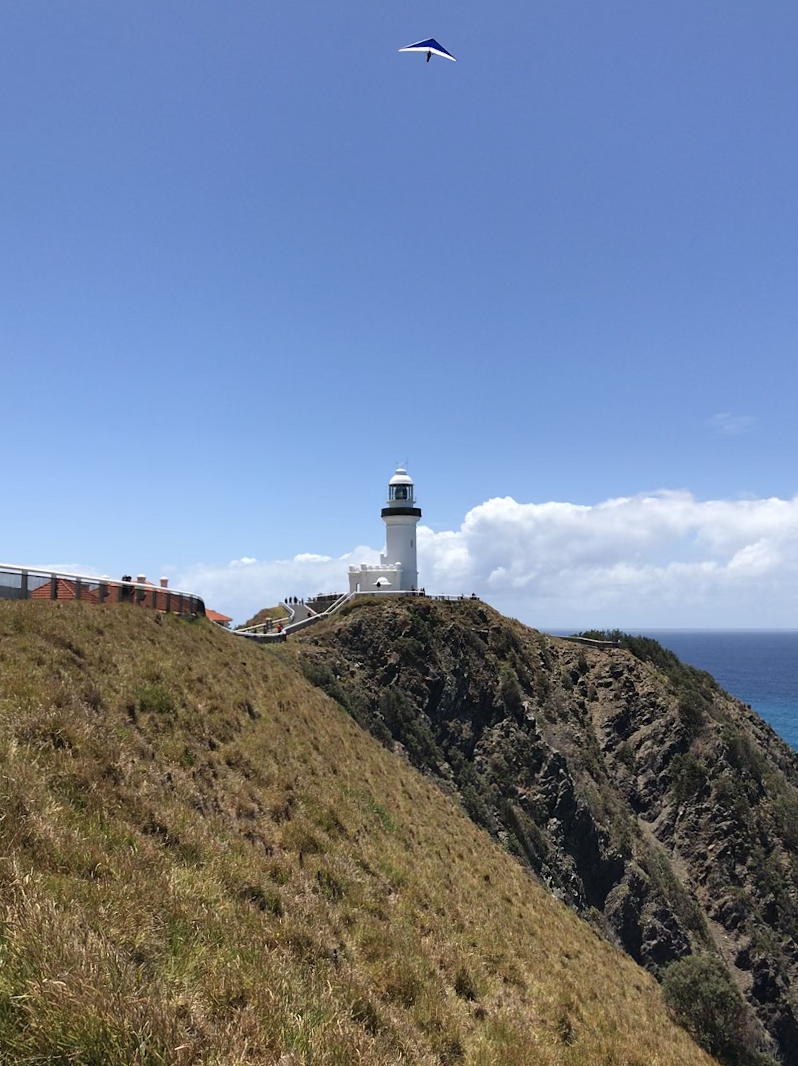
English: Cape Byron Lighthouse with hang glider above |
| Date | |
| Source | Own work |
| Author | Ningalooreef |
| Camera location | 28° 38′ 24.34″ S, 153° 38′ 10.05″ E | View this and other nearby images on: OpenStreetMap |
|---|
Licensing
I, the copyright holder of this work, hereby publish it under the following license:
This file is licensed under the Creative Commons Attribution-Share Alike 4.0 International license.
- You are free:
- to share – to copy, distribute and transmit the work
- to remix – to adapt the work
- Under the following conditions:
- attribution – You must give appropriate credit, provide a link to the license, and indicate if changes were made. You may do so in any reasonable manner, but not in any way that suggests the licensor endorses you or your use.
- share alike – If you remix, transform, or build upon the material, you must distribute your contributions under the same or compatible license as the original.
Captions
Add a one-line explanation of what this file represents
Items portrayed in this file
depicts
some value
5 February 2019
0.00028200789622109419 second
1.8
3.99 millimetre
28°38'24.338"S, 153°38'10.050"E
image/jpeg
7d621757165b0e45d17df3f26e63d9095ea7b6ae
1,547,262 byte
3,436 pixel
2,573 pixel
File history
Click on a date/time to view the file as it appeared at that time.
| Date/Time | Thumbnail | Dimensions | User | Comment | |
|---|---|---|---|---|---|
| current | 02:50, 20 November 2021 | | 2,573 × 3,436 (1.48 MB) | Ningalooreef | Cross-wiki upload from en.wikipedia.org |
File usage
The following pages on the English Wikipedia use this file (pages on other projects are not listed):
Global file usage
The following other wikis use this file:
- Usage on fr.wikipedia.org
Metadata
This file contains additional information, probably added from the digital camera or scanner used to create or digitize it.
If the file has been modified from its original state, some details may not fully reflect the modified file.
| Camera manufacturer | Apple |
|---|---|
| Camera model | iPhone 7 |
| Exposure time | 1/3,546 sec (0.00028200789622109) |
| F-number | f/1.8 |
| ISO speed rating | 20 |
| Date and time of data generation | 13:16, 5 February 2019 |
| Lens focal length | 3.99 mm |
| Latitude | 28° 38′ 24.34″ S |
| Longitude | 153° 38′ 10.05″ E |
| Altitude | 95.458 meters above sea level |
| Horizontal resolution | 72 dpi |
| Vertical resolution | 72 dpi |
| Software used | 12.1.2 |
| File change date and time | 13:16, 5 February 2019 |
| Exposure Program | Normal program |
| Exif version | 2.21 |
| Date and time of digitizing | 13:16, 5 February 2019 |
| Meaning of each component |
|
| Shutter speed | 11.792017217766 |
| APEX aperture | 1.6959938128384 |
| APEX brightness | 11.223334885887 |
| Exposure bias | 0 |
| Metering mode | Pattern |
| Flash | Flash did not fire, compulsory flash suppression |
| DateTimeOriginal subseconds | 201 |
| DateTimeDigitized subseconds | 201 |
| Supported Flashpix version | 1 |
| Sensing method | One-chip color area sensor |
| Scene type | A directly photographed image |
| Exposure mode | Auto exposure |
| White balance | Auto white balance |
| Focal length in 35 mm film | 28 mm |
| Scene capture type | Standard |
| GPS time (atomic clock) | 02:16 |
| Speed unit | Kilometers per hour |
| Speed of GPS receiver | 0 |
| Reference for direction of image | Magnetic direction |
| Direction of image | 355.76004016064 |
| Reference for bearing of destination | Magnetic direction |
| Bearing of destination | 355.76004016064 |
| GPS date | 5 February 2019 |