File:Cannon_Row.jpg
From Wikipedia, the free encyclopedia
Original file (2,425 × 1,731 pixels, file size: 1.68 MB, MIME type: image/jpeg)
| This is a file from the Wikimedia Commons. Information from its description page there is shown below. Commons is a freely licensed media file repository. You can help. |
Summary
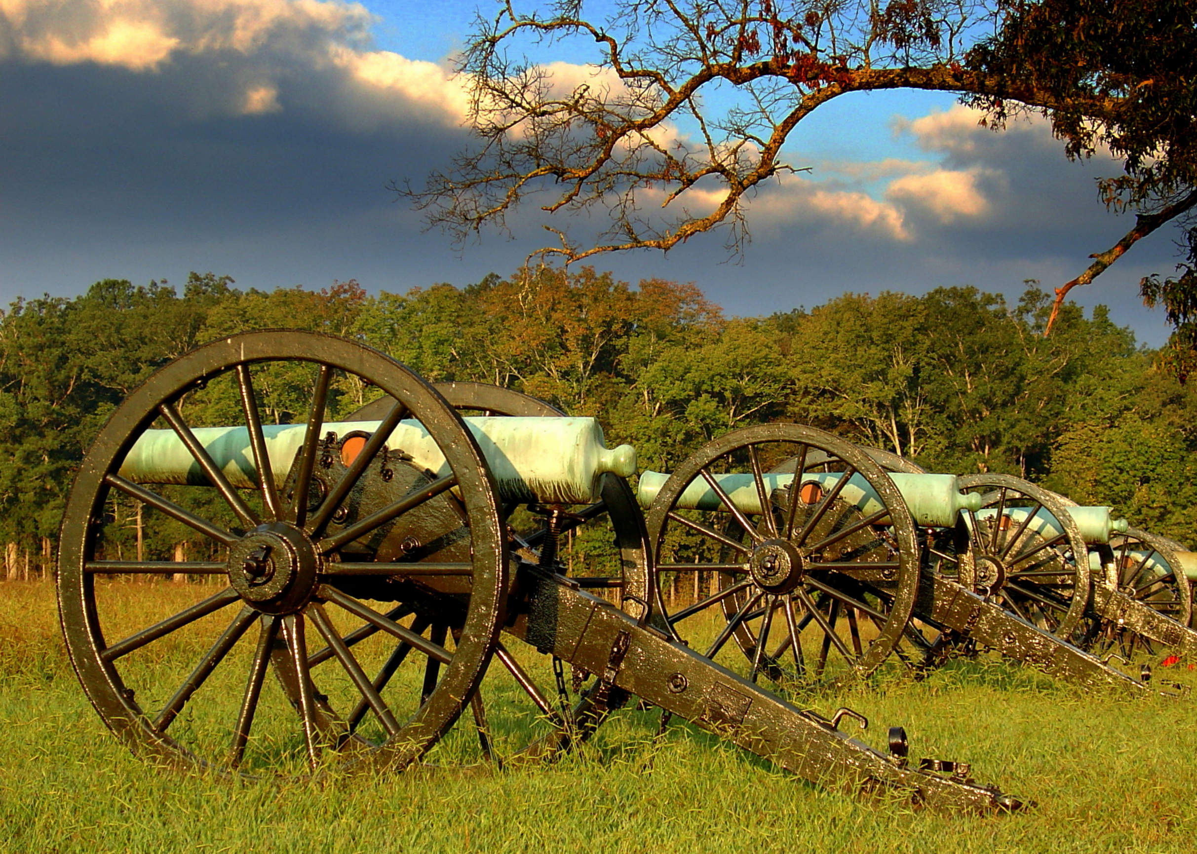
| DescriptionCannon Row.jpg |
English: Blooms Louisiana Battery at Chickamauga and Chattanooga National Military Park
|
||
| Date | Taken on 12 September 2012, 08:11:27 | ||
| Source | Own work | ||
| Author | Lhughesw5 |
| Camera location | 34° 58′ 09″ N, 85° 17′ 07″ W | View this and other nearby images on: OpenStreetMap |
|---|
Licensing
- You are free:
- to share – to copy, distribute and transmit the work
- to remix – to adapt the work
- Under the following conditions:
- attribution – You must give appropriate credit, provide a link to the license, and indicate if changes were made. You may do so in any reasonable manner, but not in any way that suggests the licensor endorses you or your use.
- share alike – If you remix, transform, or build upon the material, you must distribute your contributions under the same or compatible license as the original.

|
This image was uploaded as part of Wiki Loves Monuments 2012.
Afrikaans ∙ Alemannisch ∙ azərbaycanca ∙ Bahasa Indonesia ∙ Bahasa Melayu ∙ Bikol Central ∙ bosanski ∙ brezhoneg ∙ català ∙ čeština ∙ Cymraeg ∙ dansk ∙ davvisámegiella ∙ Deutsch ∙ eesti ∙ English ∙ español ∙ Esperanto ∙ euskara ∙ français ∙ Frysk ∙ Gaeilge ∙ galego ∙ hrvatski ∙ Ido ∙ italiano ∙ latviešu ∙ Lëtzebuergesch ∙ Malagasy ∙ magyar ∙ Malti ∙ Nederlands ∙ norsk ∙ norsk nynorsk ∙ norsk bokmål ∙ polski ∙ português ∙ português do Brasil ∙ română ∙ shqip ∙ sicilianu ∙ slovenčina ∙ slovenščina ∙ suomi ∙ svenska ∙ Tagalog ∙ Türkçe ∙ Yorùbá ∙ Zazaki ∙ Ελληνικά ∙ беларуская ∙ беларуская (тарашкевіца) ∙ български ∙ кыргызча ∙ македонски ∙ русский ∙ српски / srpski ∙ українська ∙ ქართული ∙ հայերեն ∙ नेपाली ∙ हिन्दी ∙ বাংলা ∙ മലയാളം ∙ ไทย ∙ 한국어 ∙ +/− |
 |
This image has been assessed using the Quality image guidelines and is considered a Quality image.
العربية ∙ جازايرية ∙ беларуская ∙ беларуская (тарашкевіца) ∙ български ∙ বাংলা ∙ català ∙ čeština ∙ Cymraeg ∙ Deutsch ∙ Schweizer Hochdeutsch ∙ Zazaki ∙ Ελληνικά ∙ English ∙ Esperanto ∙ español ∙ eesti ∙ euskara ∙ فارسی ∙ suomi ∙ français ∙ galego ∙ עברית ∙ हिन्दी ∙ hrvatski ∙ magyar ∙ հայերեն ∙ Bahasa Indonesia ∙ italiano ∙ 日本語 ∙ Jawa ∙ ქართული ∙ 한국어 ∙ kurdî ∙ Lëtzebuergesch ∙ lietuvių ∙ македонски ∙ മലയാളം ∙ मराठी ∙ Bahasa Melayu ∙ Nederlands ∙ Norfuk / Pitkern ∙ polski ∙ português ∙ português do Brasil ∙ rumantsch ∙ română ∙ русский ∙ sicilianu ∙ slovenčina ∙ slovenščina ∙ shqip ∙ српски / srpski ∙ svenska ∙ தமிழ் ∙ తెలుగు ∙ ไทย ∙ Tagalog ∙ Türkçe ∙ toki pona ∙ українська ∙ vèneto ∙ Tiếng Việt ∙ 中文 ∙ 中文(简体) ∙ 中文(繁體) ∙ +/− |
Captions
Items portrayed in this file
depicts
12 September 2012
34°58'9.001"N, 85°17'7.001"W
image/jpeg
0ab2e8a9573ba8b4ed67734dd6382969c3f84e9b
1,760,630 byte
1,731 pixel
2,425 pixel
File history
Click on a date/time to view the file as it appeared at that time.
| Date/Time | Thumbnail | Dimensions | User | Comment | |
|---|---|---|---|---|---|
| current | 23:26, 26 November 2012 | | 2,425 × 1,731 (1.68 MB) | Lhughesw5 | Reverted to version as of 01:51, 23 September 2012 |
| 09:24, 23 November 2012 |  | 2,425 × 1,731 (4.07 MB) | Iifar | sky denoising plus minor sharpening | |
| 01:51, 23 September 2012 |  | 2,425 × 1,731 (1.68 MB) | Lhughesw5 | User created page with UploadWizard |
File usage
Global file usage
The following other wikis use this file:
- Usage on ceb.wikipedia.org
- Usage on de.wikipedia.org
- Usage on en.wikivoyage.org
- Usage on fr.wikipedia.org
- Parc national des Great Smoky Mountains
- Sentier des Appalaches
- Big South Fork National River and Recreation Area
- Obed Wild and Scenic River
- Champ de bataille national de la Stones River
- Cumberland Gap National Historical Park
- Natchez Trace Trail
- Overmountain Victory National Historic Trail
- Manhattan Project National Historical Park
- Modèle:Palette Unités du National Park System au Tennessee
- Champ de bataille national de Fort Donelson
- Andrew Johnson National Historic Site
- Natchez Trace Parkway
- Chickamauga and Chattanooga National Military Park
- Shiloh National Military Park
- Trail of Tears National Historic Trail
- Usage on it.wikipedia.org
- Usage on www.wikidata.org
Metadata
This file contains additional information, probably added from the digital camera or scanner used to create or digitize it.
If the file has been modified from its original state, some details may not fully reflect the modified file.
| Camera manufacturer | SONY |
|---|---|
| Camera model | DSC-V1 |
| Author | Picasa |
| Exposure time | 1/320 sec (0.003125) |
| F-number | f/3.5 |
| ISO speed rating | 100 |
| Date and time of data generation | 08:11, 12 September 2012 |
| Lens focal length | 16.5 mm |
| Horizontal resolution | 72 dpi |
| Vertical resolution | 72 dpi |
| Software used | Picasa |
| File change date and time | 19:17, 12 September 2012 |
| Y and C positioning | Co-sited |
| Exposure Program | Aperture priority |
| Exif version | 2.2 |
| Date and time of digitizing | 08:11, 12 September 2012 |
| Meaning of each component |
|
| Image compression mode | 4 |
| Exposure bias | 0 |
| Maximum land aperture | 3 APEX (f/2.83) |
| Metering mode | Center weighted average |
| Light source | Unknown |
| Flash | Flash fired, strobe return light detected, compulsory flash firing, red-eye reduction mode |
| Supported Flashpix version | 1 |
| Color space | sRGB |
| File source | Digital still camera |
| Scene type | A directly photographed image |
| Custom image processing | Normal process |
| Exposure mode | Auto exposure |
| White balance | Auto white balance |
| Scene capture type | Standard |
| Unique image ID | 4b3186a449cae0f28089e72eea9580cd |
| Keywords |
|
| IIM version | 4 |