File:Burnmouth_Harbour.jpg
From Wikipedia, the free encyclopedia
No higher resolution available.
Burnmouth_Harbour.jpg (640 × 480 pixels, file size: 77 KB, MIME type: image/jpeg)
| This is a file from the Wikimedia Commons. Information from its description page there is shown below. Commons is a freely licensed media file repository. You can help. |
| Camera location | 55° 50′ 29.65″ N, 2° 04′ 02.5″ W | View this and other nearby images on: OpenStreetMap |
|---|
| Object location | 55° 50′ 30″ N, 2° 04′ 06″ W | View this and other nearby images on: OpenStreetMap |
|---|
|
This is a photo of listed building number 11. |
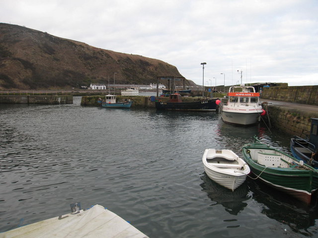
| DescriptionBurnmouth Harbour.jpg | Harbour at Burnmouth |
| Date | |
| Source | Geograph project https://www.geograph.org.uk/photo/141000 |
| Author | Lisa Jarvis |

|
This image was taken from the Geograph project collection. See this photograph's page on the Geograph website for the photographer's contact details. The copyright on this image is owned by Lisa Jarvis and is licensed for reuse under the Creative Commons Attribution-ShareAlike 2.0 license.
|
This file is licensed under the Creative Commons Attribution-Share Alike 2.0 Generic license.
Attribution: Lisa Jarvis
- You are free:
- to share – to copy, distribute and transmit the work
- to remix – to adapt the work
- Under the following conditions:
- attribution – You must give appropriate credit, provide a link to the license, and indicate if changes were made. You may do so in any reasonable manner, but not in any way that suggests the licensor endorses you or your use.
- share alike – If you remix, transform, or build upon the material, you must distribute your contributions under the same or compatible license as the original.
Captions
Add a one-line explanation of what this file represents
Items portrayed in this file
depicts
19 March 2006
55°50'29.652"N, 2°4'2.496"W
55°50'30.44"N, 2°4'5.52"W
0.008 second
5.8 millimetre
image/jpeg
9077f3e4c32e6c9a6de62ca4d4568488279405a3
78,942 byte
480 pixel
640 pixel
File history
Click on a date/time to view the file as it appeared at that time.
| Date/Time | Thumbnail | Dimensions | User | Comment | |
|---|---|---|---|---|---|
| current | 11:25, 15 October 2007 | | 640 × 480 (77 KB) | Angusmclellan | {{Information |Description=Harbour at Burnmouth |Source=Geograph project http://www.geograph.org.uk/photo/141000 |Date=Sunday, 19 March, 2006 |Author=Lisa Jarvis |Permission=see below |other_versions= }} {{geograph|141000|Lisa Jarvis}} |
File usage
The following pages on the English Wikipedia use this file (pages on other projects are not listed):
Global file usage
The following other wikis use this file:
Metadata
This file contains additional information, probably added from the digital camera or scanner used to create or digitize it.
If the file has been modified from its original state, some details may not fully reflect the modified file.
| Camera manufacturer | Canon |
|---|---|
| Camera model | Canon PowerShot S80 |
| Exposure time | 1/125 sec (0.008) |
| F-number | f/4 |
| Date and time of data generation | 16:26, 19 March 2006 |
| Lens focal length | 5.8 mm |
| Orientation | Normal |
| Horizontal resolution | 180 dpi |
| Vertical resolution | 180 dpi |
| File change date and time | 16:26, 19 March 2006 |
| Y and C positioning | Centered |
| Exif version | 2.2 |
| Date and time of digitizing | 16:26, 19 March 2006 |
| Meaning of each component |
|
| Image compression mode | 2 |
| Shutter speed | 6.96875 |
| APEX aperture | 4 |
| Exposure bias | 0 |
| Maximum land aperture | 2.96875 APEX (f/2.8) |
| Metering mode | Pattern |
| Flash | Flash did not fire, auto mode, red-eye reduction mode |
| Supported Flashpix version | 1 |
| Color space | sRGB |
| Focal plane X resolution | 5,594.4055944056 |
| Focal plane Y resolution | 5,607.476635514 |
| Focal plane resolution unit | inches |
| Sensing method | One-chip color area sensor |
| File source | Digital still camera |
| Custom image processing | Normal process |
| Exposure mode | Auto exposure |
| White balance | Auto white balance |
| Digital zoom ratio | 1 |
| Scene capture type | Standard |
Retrieved from "https://en.wikipedia.org/wiki/File:Burnmouth_Harbour.jpg"