File:Bricket_Wood_Common_-_geograph.org.uk_-_71828.jpg
From Wikipedia, the free encyclopedia
No higher resolution available.
Bricket_Wood_Common_-_geograph.org.uk_-_71828.jpg (640 × 425 pixels, file size: 159 KB, MIME type: image/jpeg)
| This is a file from the Wikimedia Commons. Information from its description page there is shown below. Commons is a freely licensed media file repository. You can help. |
Summary
| DescriptionBricket Wood Common - geograph.org.uk - 71828.jpg |
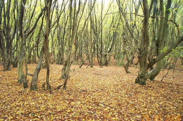
English: Bricket Wood Common. Deciduous woodland typical of about half of this grid square. This view was taken just off School Lane. |
| Date | |
| Source | From geograph.org.uk |
| Author | Nigel Cox |
| Attribution (required by the license) InfoField | Nigel Cox / Bricket Wood Common / |
InfoField | Nigel Cox / Bricket Wood Common |
| Object location | 51° 41′ 58″ N, 0° 21′ 47″ W | View this and other nearby images on: OpenStreetMap |
|---|
Licensing

|
This image was taken from the Geograph project collection. See this photograph's page on the Geograph website for the photographer's contact details. The copyright on this image is owned by Nigel Cox and is licensed for reuse under the Creative Commons Attribution-ShareAlike 2.0 license.
|
This file is licensed under the Creative Commons Attribution-Share Alike 2.0 Generic license.
Attribution: Nigel Cox
- You are free:
- to share – to copy, distribute and transmit the work
- to remix – to adapt the work
- Under the following conditions:
- attribution – You must give appropriate credit, provide a link to the license, and indicate if changes were made. You may do so in any reasonable manner, but not in any way that suggests the licensor endorses you or your use.
- share alike – If you remix, transform, or build upon the material, you must distribute your contributions under the same or compatible license as the original.
Captions
Add a one-line explanation of what this file represents
Items portrayed in this file
depicts
some value
29 October 2005
51°41'58.2"N, 0°21'46.8"W
0.05 second
6.3 millimetre
image/jpeg
3012d026928edbc19aa25de138a9b70650d835e6
162,802 byte
425 pixel
640 pixel
File history
Click on a date/time to view the file as it appeared at that time.
| Date/Time | Thumbnail | Dimensions | User | Comment | |
|---|---|---|---|---|---|
| current | 13:44, 30 January 2010 | | 640 × 425 (159 KB) | GeographBot | == {{int:filedesc}} == {{Information |description={{en|1=Bricket Wood Common. Deciduous woodland typical of about half of this grid square. This view was taken just off School Lane.}} |date=2005-10-29 |source=From [http://www.geograph.org.uk/photo/71828 g |
File usage
The following pages on the English Wikipedia use this file (pages on other projects are not listed):
Global file usage
The following other wikis use this file:
- Usage on cy.wikipedia.org
- Usage on pl.wikipedia.org
- Usage on ru.wikipedia.org
- Usage on uk.wikipedia.org
- Usage on www.wikidata.org
Metadata
This file contains additional information, probably added from the digital camera or scanner used to create or digitize it.
If the file has been modified from its original state, some details may not fully reflect the modified file.
| Camera manufacturer | EASTMAN KODAK COMPANY |
|---|---|
| Camera model | KODAK DC280 ZOOM DIGITAL CAMERA |
| Copyright holder | KODAK DC280 ZOOM DIGITAL CAMERA |
| Exposure time | 1/20 sec (0.05) |
| F-number | f/3 |
| Date and time of data generation | 09:29, 29 October 2005 |
| Lens focal length | 6.3 mm |
| Orientation | Normal |
| Horizontal resolution | 192 dpi |
| Vertical resolution | 192 dpi |
| Y and C positioning | Centered |
| Exif version | 2.1 |
| Date and time of digitizing | 09:29, 29 October 2005 |
| Shutter speed | 4.5 |
| APEX aperture | 3.1 |
| Exposure bias | 0 |
| Maximum land aperture | 3.1 APEX (f/2.93) |
| Metering mode | Average |
| Light source | Daylight |
| Flash | Flash did not fire |
| Color space | sRGB |
| Exposure index | 200 |
| Sensing method | One-chip color area sensor |