File:Boundary_Fence,_Fort_Halstead.jpg
From Wikipedia, the free encyclopedia
No higher resolution available.
Boundary_Fence,_Fort_Halstead.jpg (640 × 430 pixels, file size: 133 KB, MIME type: image/jpeg)
| This is a file from the Wikimedia Commons. Information from its description page there is shown below. Commons is a freely licensed media file repository. You can help. |
Summary
| DescriptionBoundary Fence, Fort Halstead.jpg |
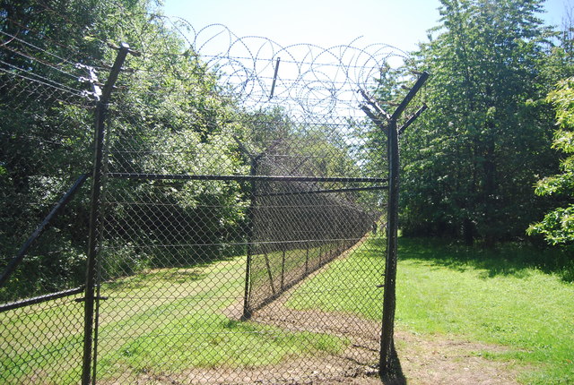
English: Originally constructed in 1892 as one of a ring of fortresses around London, Fort Halstead was to be manned by volunteers in the event of a crisis. The fort is located on the top of the North Downs.
The base went on to become home to the Ministry of Supply, from which it became the headquarters of the Royal Armament Research and Development Establishment (RARDE). |
| Date | |
| Source | From geograph.org.uk |
| Author | N Chadwick |
| Permission (Reusing this file) |
Creative Commons Attribution Share-alike license 2.0 |
| Attribution (required by the license) InfoField | N Chadwick / Boundary Fence, Fort Halstead / |
InfoField | N Chadwick / Boundary Fence, Fort Halstead |
| Camera location | 51° 18′ 45.4″ N, 0° 08′ 07″ E | View this and other nearby images on: OpenStreetMap |
|---|
| Object location | 51° 18′ 45.1″ N, 0° 08′ 08″ E | View this and other nearby images on: OpenStreetMap |
|---|
Licensing

|
This image was taken from the Geograph project collection. See this photograph's page on the Geograph website for the photographer's contact details. The copyright on this image is owned by N Chadwick and is licensed for reuse under the Creative Commons Attribution-ShareAlike 2.0 license.
|
This file is licensed under the Creative Commons Attribution-Share Alike 2.0 Generic license.
Attribution: N Chadwick
- You are free:
- to share – to copy, distribute and transmit the work
- to remix – to adapt the work
- Under the following conditions:
- attribution – You must give appropriate credit, provide a link to the license, and indicate if changes were made. You may do so in any reasonable manner, but not in any way that suggests the licensor endorses you or your use.
- share alike – If you remix, transform, or build upon the material, you must distribute your contributions under the same or compatible license as the original.
Captions
Former MoD establishment in Kent UK. At intervals there is a projection in the fence line. This is presumably to allow those inside to get a good view along the outside of the fence.
Items portrayed in this file
depicts
some value
51°18'45.403"N, 0°8'7.210"E
26 June 2011
51°18'45.07"N, 0°8'7.73"E
image/jpeg
5cc5145c62f2f652acc40d74b743b20405964178
136,511 byte
430 pixel
640 pixel
File history
Click on a date/time to view the file as it appeared at that time.
| Date/Time | Thumbnail | Dimensions | User | Comment | |
|---|---|---|---|---|---|
| current | 21:17, 25 March 2019 | | 640 × 430 (133 KB) | Lumos3 | User created page with UploadWizard |
File usage
The following pages on the English Wikipedia use this file (pages on other projects are not listed):
Global file usage
The following other wikis use this file:
- Usage on arz.wikipedia.org
- Usage on fr.wikipedia.org
- Usage on id.wikipedia.org
Retrieved from "https://en.wikipedia.org/wiki/File:Boundary_Fence,_Fort_Halstead.jpg"