File:Battle_of_Roslin_-_geograph.org.uk_-_1211243.jpg
From Wikipedia, the free encyclopedia
No higher resolution available.
Battle_of_Roslin_-_geograph.org.uk_-_1211243.jpg (640 × 480 pixels, file size: 108 KB, MIME type: image/jpeg)
| This is a file from the Wikimedia Commons. Information from its description page there is shown below. Commons is a freely licensed media file repository. You can help. |
Summary
| DescriptionBattle of Roslin - geograph.org.uk - 1211243.jpg |
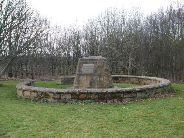
English: Battle of Roslin This important battle in the Wars of Scottish Independence was fought on the 24th February 1302/1303. (Until 1600 the year began on the 25th March and ended on the 24th March). A Scottish army of 8,000 men under Sir John Comyn and Sir Simon Fraser marched 16 miles from Biggar to confront an English army of 30,000. However the English army was split into 3 columns and the Scots dealt with each in turn with great slaughter. Local names refer to this with places such as 'Shinbones Field', 'Killburn' and 'Hewan' (or Hewings). |
| Date | |
| Source | From geograph.org.uk |
| Author | ronnie leask |
| Attribution (required by the license) InfoField | ronnie leask / Battle of Roslin / |
InfoField | ronnie leask / Battle of Roslin |
| Camera location | 55° 51′ 45.1″ N, 3° 09′ 16″ W | View this and other nearby images on: OpenStreetMap |
|---|
| Object location | 55° 51′ 46.1″ N, 3° 09′ 19″ W | View this and other nearby images on: OpenStreetMap |
|---|
Licensing

|
This image was taken from the Geograph project collection. See this photograph's page on the Geograph website for the photographer's contact details. The copyright on this image is owned by ronnie leask and is licensed for reuse under the Creative Commons Attribution-ShareAlike 2.0 license.
|
This file is licensed under the Creative Commons Attribution-Share Alike 2.0 Generic license.
Attribution: ronnie leask
- You are free:
- to share – to copy, distribute and transmit the work
- to remix – to adapt the work
- Under the following conditions:
- attribution – You must give appropriate credit, provide a link to the license, and indicate if changes were made. You may do so in any reasonable manner, but not in any way that suggests the licensor endorses you or your use.
- share alike – If you remix, transform, or build upon the material, you must distribute your contributions under the same or compatible license as the original.
Captions
Add a one-line explanation of what this file represents
Items portrayed in this file
depicts
some value
26 February 2009
55°51'45.14"N, 3°9'15.84"W
55°51'46.08"N, 3°9'19.44"W
image/jpeg
0c30c46dc6929c572f0cba2ec12ced7e59e66b62
110,850 byte
480 pixel
640 pixel
File history
Click on a date/time to view the file as it appeared at that time.
| Date/Time | Thumbnail | Dimensions | User | Comment | |
|---|---|---|---|---|---|
| current | 06:02, 26 February 2011 | | 640 × 480 (108 KB) | GeographBot | == {{int:filedesc}} == {{Information |description={{en|1=Battle of Roslin This important battle in the Wars of Scottish Independence was fought on the 24th February 1302/1303. (Until 1600 the year began on the 25th March and ended on the 24th March). A Sc |
File usage
The following pages on the English Wikipedia use this file (pages on other projects are not listed):
Global file usage
The following other wikis use this file:
- Usage on bg.wikipedia.org
- Usage on bn.wikipedia.org
- Usage on es.wikipedia.org
- Usage on fr.wikipedia.org
- Usage on it.wikipedia.org
- Usage on no.wikipedia.org
- Usage on www.wikidata.org
Metadata
This file contains additional information, probably added from the digital camera or scanner used to create or digitize it.
If the file has been modified from its original state, some details may not fully reflect the modified file.
| _error | 0 |
|---|