File:Bandstand,_Crescent_Gardens,_Filey_-_geograph.org.uk_-_4680463.jpg
From Wikipedia, the free encyclopedia
No higher resolution available.
Bandstand,_Crescent_Gardens,_Filey_-_geograph.org.uk_-_4680463.jpg (640 × 440 pixels, file size: 75 KB, MIME type: image/jpeg)
| This is a file from the Wikimedia Commons. Information from its description page there is shown below. Commons is a freely licensed media file repository. You can help. |
Summary
| DescriptionBandstand, Crescent Gardens, Filey - geograph.org.uk - 4680463.jpg |
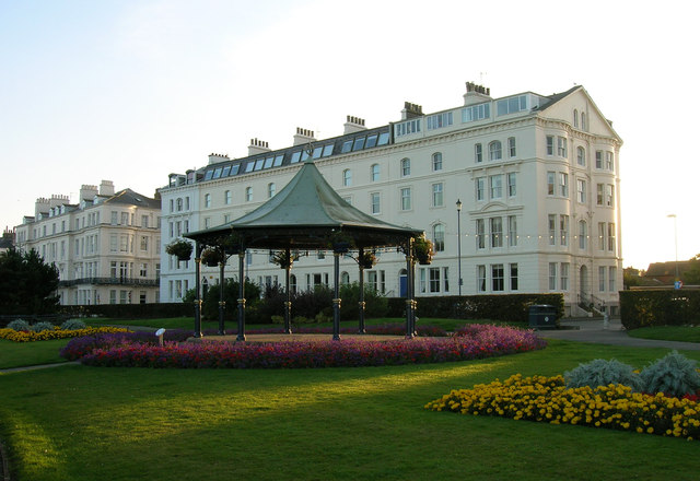
English: Bandstand, Crescent Gardens, Filey |
| Depicts InfoField | house, public space, Filey |
| Date |
|
| Source |
Geograph Britain and Ireland |
| Author |
JThomas |
| Place of creation InfoField | Filey |
| Camera location | 54° 12′ 25.4″ N, 0° 17′ 10″ W | View this and other nearby images on: OpenStreetMap |
|---|
| Object location | 54° 12′ 25.3″ N, 0° 17′ 10.3″ W | View this and other nearby images on: OpenStreetMap |
|---|
Licensing

|
This image was taken from the Geograph project collection. See this photograph's page on the Geograph website for the photographer's contact details. The copyright on this image is owned by JThomas
|
This file is licensed under the Creative Commons Attribution-Share Alike 2.0 Generic license.
Attribution: Bandstand, Crescent Gardens, Filey by JThomas
- You are free:
- to share – to copy, distribute and transmit the work
- to remix – to adapt the work
- Under the following conditions:
- attribution – You must give appropriate credit, provide a link to the license, and indicate if changes were made. You may do so in any reasonable manner, but not in any way that suggests the licensor endorses you or your use.
- share alike – If you remix, transform, or build upon the material, you must distribute your contributions under the same or compatible license as the original.
Captions
Bandstand, Crescent Gardens, Filey
Items portrayed in this file
depicts
27 September 2015
54°12'25.2"N, 0°17'9.6"W
54°12'25.27"N, 0°17'10.36"W
image/jpeg
7498f8bbd8e70ae478e58d795293c7c133ed6c9c
76,584 byte
440 pixel
640 pixel
File history
Click on a date/time to view the file as it appeared at that time.
| Date/Time | Thumbnail | Dimensions | User | Comment | |
|---|---|---|---|---|---|
| current | 01:56, 27 April 2023 | | 640 × 440 (75 KB) | GeographBot | Uploading geograph.org.uk image from https://www.geograph.org.uk/photo/4680463 |
File usage
The following pages on the English Wikipedia use this file (pages on other projects are not listed):