File:Australia_bundaberg_aerial.jpg
From Wikipedia, the free encyclopedia
Size of this preview: 800 × 600 pixels. Other resolutions: 320 × 240 pixels | 640 × 480 pixels | 1,024 × 768 pixels | 1,280 × 960 pixels | 2,592 × 1,944 pixels.
Original file (2,592 × 1,944 pixels, file size: 1.85 MB, MIME type: image/jpeg)
| This is a file from the Wikimedia Commons. Information from its description page there is shown below. Commons is a freely licensed media file repository. You can help. |
Summary
| DescriptionAustralia bundaberg aerial.jpg |
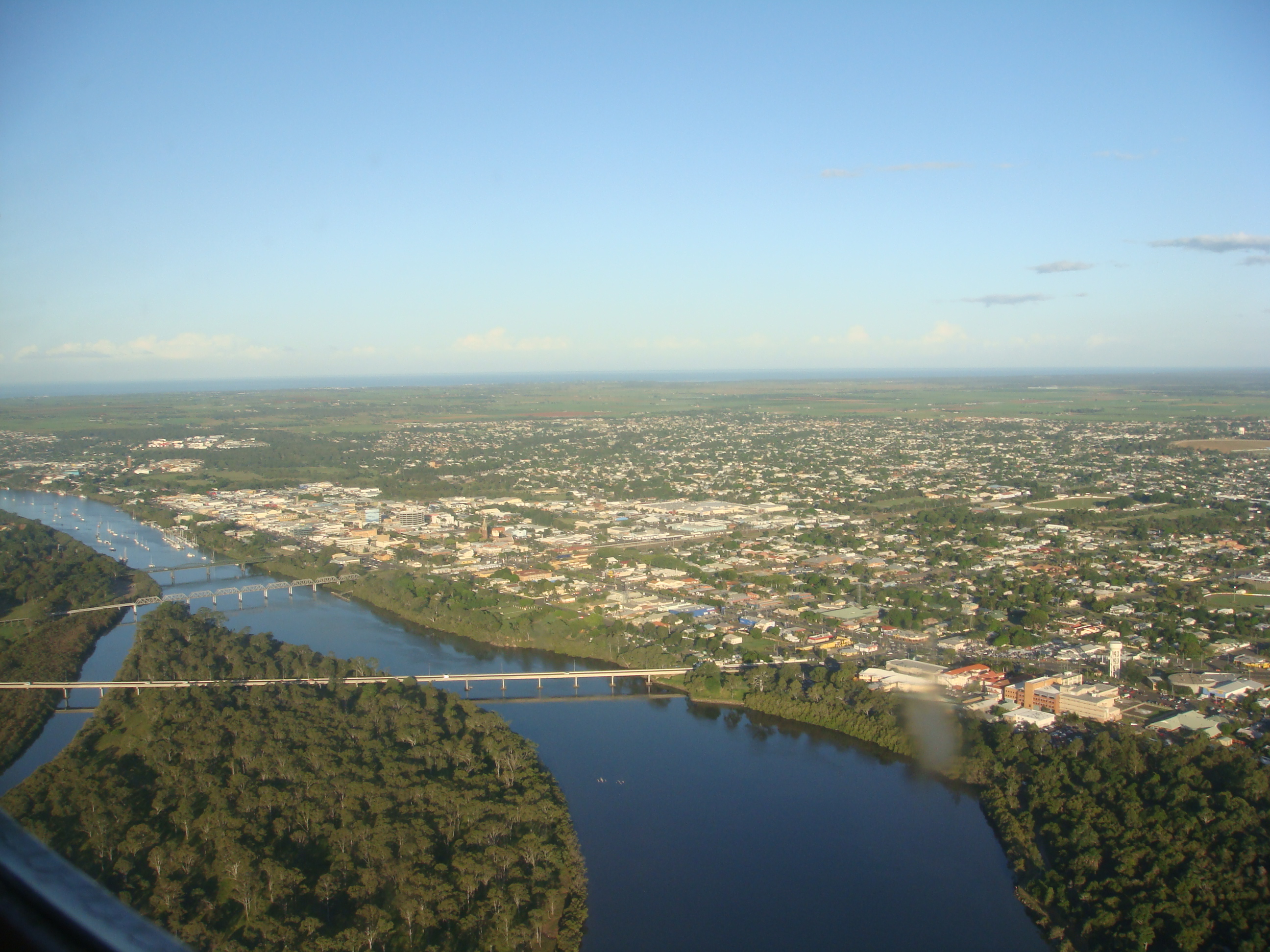
English: Picture of Bundaberg, Australia from the air. Taken by the uploader, and released into the public domain. |
| Date | 27 April 2009 (original upload date) |
| Source | Own work |
| Author | User: (WT-shared) Inas at wts wikivoyage |
| Camera location | 24° 09′ 44.26″ S, 152° 41′ 39.97″ E | View this and other nearby images on: OpenStreetMap |
|---|
Licensing
| Public domainPublic domainfalsefalse |
| This work has been released into the public domain by its author, User: (WT-shared) Inas at wts wikivoyage. This applies worldwide. In some countries this may not be legally possible; if so: User: (WT-shared) Inas at wts wikivoyage grants anyone the right to use this work for any purpose, without any conditions, unless such conditions are required by law. Public domainPublic domainfalsefalse |
Original upload log
| This file was imported from Wikivoyage WTS. |
The original description page was here. All following user names refer to wts.wikivoyage-old.
- 2009-04-27 10:01 (WT-shared) Inas[dead link] 2592×1944 (1936371 bytes) Picture of Bundaberg, Australia from the air. Taken by the uploader, and released into the public domain. (Import from wikitravel.org/shared)
Captions
Add a one-line explanation of what this file represents
Items portrayed in this file
depicts
24°9'44.262"S, 152°41'39.973"E
image/jpeg
d73555a47ccd707607522035d9948e4ccfa1f47e
1,936,371 byte
1,944 pixel
2,592 pixel
File history
Click on a date/time to view the file as it appeared at that time.
| Date/Time | Thumbnail | Dimensions | User | Comment | |
|---|---|---|---|---|---|
| current | 15:40, 1 December 2012 | | 2,592 × 1,944 (1.85 MB) | MGA73bot2 | {{BotMoveToCommons|wts.oldwikivoyage|year={{subst:CURRENTYEAR}}|month={{subst:CURRENTMONTHNAME}}|day={{subst:CURRENTDAY}}}} == {{int:filedesc}} == {{Information |description=Picture of Bundaberg, Australia from the air. Taken by the uploader, and rele... |
File usage
The following pages on the English Wikipedia use this file (pages on other projects are not listed):
Global file usage
The following other wikis use this file:
- Usage on en.wikivoyage.org
- Usage on id.wikipedia.org
- Usage on ja.wikipedia.org
- Usage on ko.wikipedia.org
- Usage on pl.wikipedia.org
- Usage on simple.wikipedia.org
- Usage on sv.wikipedia.org
Metadata
This file contains additional information, probably added from the digital camera or scanner used to create or digitize it.
If the file has been modified from its original state, some details may not fully reflect the modified file.
| F-number | f/0 |
|---|---|
| ISO speed rating | 100 |
| Lens focal length | 0.17241379310345 mm |
| Latitude | 24° 9′ 44.26″ S |
| Longitude | 152° 41′ 39.97″ E |
| Altitude | 308.47 meters above sea level |
| Orientation | Normal |
| Horizontal resolution | 1.6544324348345 dpi |
| Vertical resolution | 171.33333333333 dpi |
| Software used | RoboGEO v5.0.14 |
| Y and C positioning | Co-sited |
| Exposure Program | Normal program |
| Exif version | 2.21 |
| Date and time of digitizing | 21 16:36:57 |
| Meaning of each component |
|
| Image compression mode | 0.90637737450332 |
| Exposure bias | 904,526.5 |
| Metering mode | Pattern |
| Light source | Unknown |
| Flash | Flash did not fire, compulsory flash suppression |
| Supported Flashpix version | 1 |
| Color space | sRGB |
| File source | Digital still camera |
| Scene type | A directly photographed image |
| Custom image processing | Normal process |
| Exposure mode | Auto exposure |
| White balance | Auto white balance |
| Scene capture type | Standard |
| Contrast | Normal |
| Saturation | Normal |
| Sharpness | Normal |
| GPS time (atomic clock) | 06:36 |
| Geodetic survey data used | WGS 1984 |
| GPS date | 21 April 2009 |
| GPS tag version | 0.0.2.2 |
Retrieved from "https://en.wikipedia.org/wiki/File:Australia_bundaberg_aerial.jpg"