File:Areas_annexed_by_Nazi_Germany.png
From Wikipedia, the free encyclopedia
Size of this preview: 800 × 536 pixels. Other resolutions: 320 × 215 pixels | 640 × 429 pixels | 1,111 × 745 pixels.
Original file (1,111 × 745 pixels, file size: 154 KB, MIME type: image/png)
| This is a file from the Wikimedia Commons. Information from its description page there is shown below. Commons is a freely licensed media file repository. You can help. |
Summary

|
This historical map image could be re-created using vector graphics as an SVG file. This has several advantages; see Commons:Media for cleanup for more information. If an SVG form of this image is available, please upload it and afterwards replace this template with
{{vector version available|new image name}}.
It is recommended to name the SVG file “Areas annexed by Nazi Germany.svg”—then the template Vector version available (or Vva) does not need the new image name parameter. |
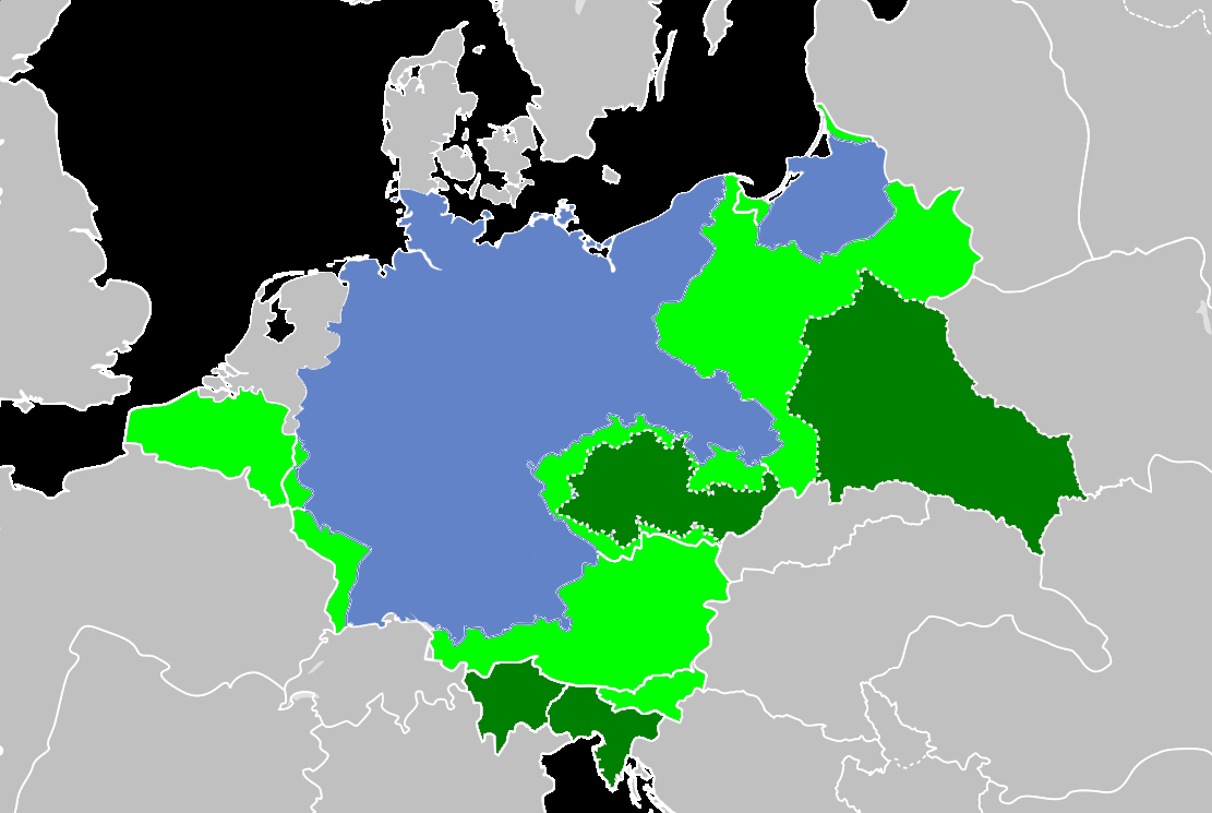
| DescriptionAreas annexed by Nazi Germany.png |
Deutsch: Gebieten von Nazi-Deutschland annektiert English: Areas annexed by Nazi Germany Français : Zones annexées par l'Allemagne nazie |
| Date | |
| Source | Own work |
| Author | victor falk |
| Other versions |
 |
Licensing
I, the copyright holder of this work, hereby publish it under the following license:
This file is licensed under the Creative Commons Attribution-Share Alike 3.0 Unported license.
- You are free:
- to share – to copy, distribute and transmit the work
- to remix – to adapt the work
- Under the following conditions:
- attribution – You must give appropriate credit, provide a link to the license, and indicate if changes were made. You may do so in any reasonable manner, but not in any way that suggests the licensor endorses you or your use.
- share alike – If you remix, transform, or build upon the material, you must distribute your contributions under the same or compatible license as the original.
Captions
Add a one-line explanation of what this file represents
Items portrayed in this file
depicts
some value
8 July 2014
image/png
8816bf723320e155aa3c7bc137612298baf6945c
157,373 byte
745 pixel
1,111 pixel
File history
Click on a date/time to view the file as it appeared at that time.
| Date/Time | Thumbnail | Dimensions | User | Comment | |
|---|---|---|---|---|---|
| current | 19:37, 29 October 2017 | | 1,111 × 745 (154 KB) | Poeticbent | correction based on File:Deutschesreich1939.png |
| 17:07, 28 October 2017 |  | 1,111 × 745 (110 KB) | Pugilist | Reverted to version as of 23:59, 7 July 2014 (UTC) - Addition of colour meaningless and errorneous | |
| 20:24, 29 January 2017 |  | 1,111 × 745 (156 KB) | Poeticbent | overlay color added to undefined subject | |
| 23:59, 7 July 2014 |  | 1,111 × 745 (110 KB) | Victor falk~commonswiki | User created page with UploadWizard |
File usage
The following pages on the English Wikipedia use this file (pages on other projects are not listed):
Global file usage
The following other wikis use this file:
- Usage on an.wikipedia.org
- Usage on ar.wikipedia.org
- Usage on bn.wikipedia.org
- Usage on ca.wikipedia.org
- Usage on es.wikipedia.org
- Usage on it.wikipedia.org
- Usage on vi.wikipedia.org
Metadata
This file contains additional information, probably added from the digital camera or scanner used to create or digitize it.
If the file has been modified from its original state, some details may not fully reflect the modified file.
| Horizontal resolution | 28.35 dpc |
|---|---|
| Vertical resolution | 28.35 dpc |
Retrieved from "https://en.wikipedia.org/wiki/File:Areas_annexed_by_Nazi_Germany.png"