File:Anniston,_Alabama.JPG
From Wikipedia, the free encyclopedia
Size of this preview: 800 × 427 pixels. Other resolutions: 320 × 171 pixels | 640 × 342 pixels | 1,024 × 547 pixels | 1,280 × 683 pixels | 2,560 × 1,367 pixels | 3,915 × 2,090 pixels.
Original file (3,915 × 2,090 pixels, file size: 3.13 MB, MIME type: image/jpeg)
| This is a file from the Wikimedia Commons. Information from its description page there is shown below. Commons is a freely licensed media file repository. You can help. |
Summary
| DescriptionAnniston, Alabama.JPG |
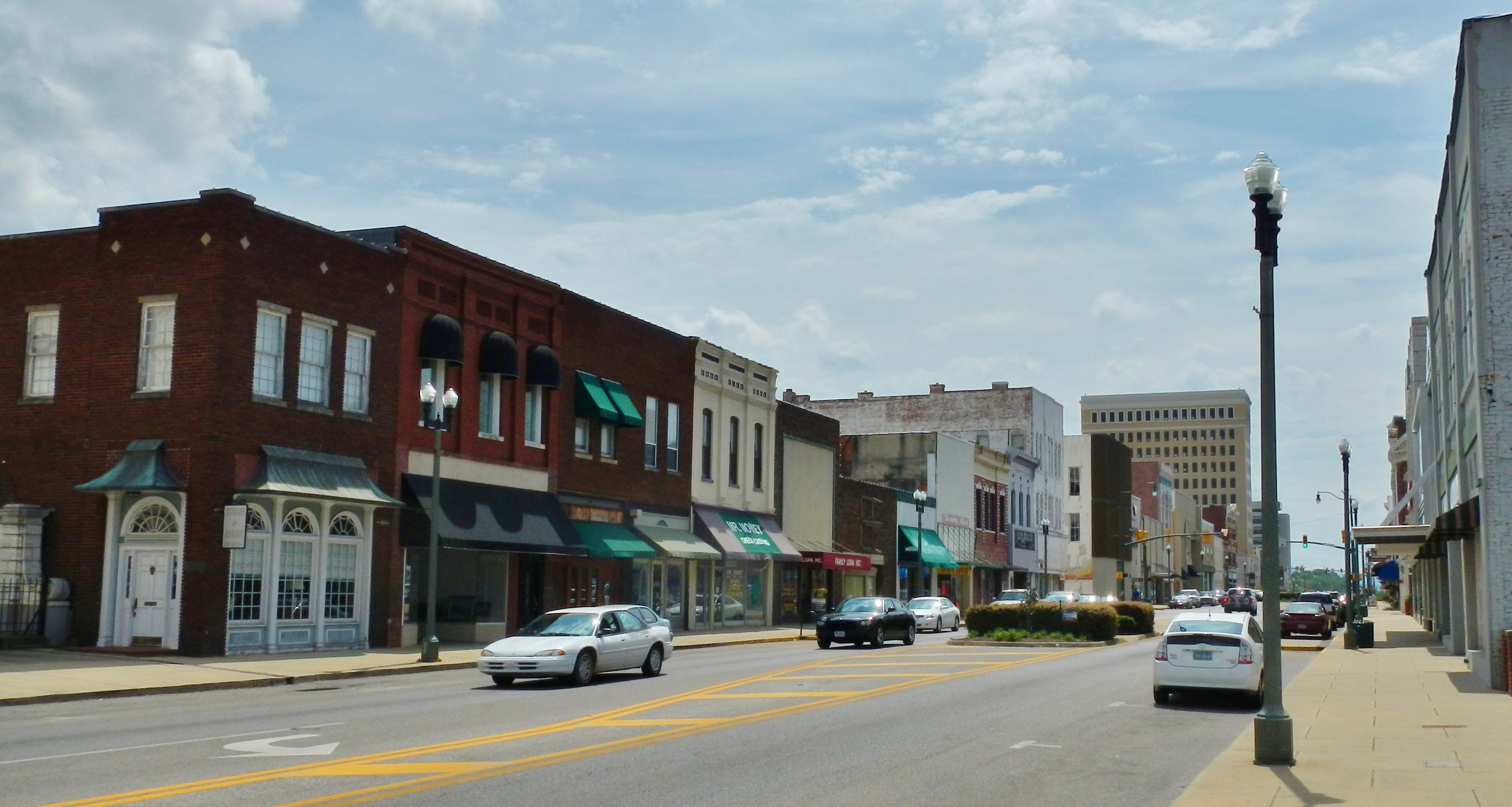
English: This is a photo of downtown Anniston, Alabama. |
| Date | |
| Source | Own work |
| Author | Rivers Langley; SaveRivers |
| Camera location | 33° 39′ 31.83″ N, 85° 49′ 48.89″ W | View this and other nearby images on: OpenStreetMap |
|---|
Licensing
I, the copyright holder of this work, hereby publish it under the following licenses:
This file is licensed under the Creative Commons Attribution-Share Alike 3.0 Unported license.
- You are free:
- to share – to copy, distribute and transmit the work
- to remix – to adapt the work
- Under the following conditions:
- attribution – You must give appropriate credit, provide a link to the license, and indicate if changes were made. You may do so in any reasonable manner, but not in any way that suggests the licensor endorses you or your use.
- share alike – If you remix, transform, or build upon the material, you must distribute your contributions under the same or compatible license as the original.

|
Permission is granted to copy, distribute and/or modify this document under the terms of the GNU Free Documentation License, Version 1.2 or any later version published by the Free Software Foundation; with no Invariant Sections, no Front-Cover Texts, and no Back-Cover Texts. A copy of the license is included in the section entitled GNU Free Documentation License.http://www.gnu.org/copyleft/fdl.htmlGFDLGNU Free Documentation Licensetruetrue |
You may select the license of your choice.
Captions
Add a one-line explanation of what this file represents
Items portrayed in this file
depicts
30 March 2012
33°39'31.831"N, 85°49'48.889"W
image/jpeg
7175e3298708ca7dfce21c9243f77f0916233ea4
3,279,819 byte
2,090 pixel
3,915 pixel
File history
Click on a date/time to view the file as it appeared at that time.
| Date/Time | Thumbnail | Dimensions | User | Comment | |
|---|---|---|---|---|---|
| current | 20:25, 1 April 2012 | | 3,915 × 2,090 (3.13 MB) | SaveRivers | {{Information |Description ={{en|1=This is a photo of downtown Anniston, Alabama.}} |Source ={{own}} |Author =Rivers Langley; SaveRivers |Date =2012-03-30 |Permission = |other_versions = }} [[Catego... |
File usage
The following pages on the English Wikipedia use this file (pages on other projects are not listed):
Global file usage
The following other wikis use this file:
- Usage on ar.wikipedia.org
- Usage on arz.wikipedia.org
- Usage on azb.wikipedia.org
- Usage on ca.wikipedia.org
- Usage on ceb.wikipedia.org
- Usage on ce.wikipedia.org
- Usage on cy.wikipedia.org
- Usage on dag.wikipedia.org
- Usage on da.wikipedia.org
- Usage on de.wikivoyage.org
- Usage on es.wikipedia.org
- Usage on eu.wikipedia.org
- Usage on fr.wikipedia.org
- Usage on ga.wikipedia.org
- Usage on he.wikipedia.org
- Usage on ht.wikipedia.org
- Usage on hu.wikipedia.org
- Usage on io.wikipedia.org
- Usage on it.wikipedia.org
- Usage on ja.wikipedia.org
- Usage on ko.wikipedia.org
- Usage on lld.wikipedia.org
- Usage on nl.wikipedia.org
- Usage on no.wikipedia.org
- Usage on pl.wikipedia.org
- Usage on pt.wikipedia.org
- Usage on pt.wikivoyage.org
- Usage on ro.wikipedia.org
- Usage on ru.wikipedia.org
- Usage on sh.wikipedia.org
- Usage on simple.wikipedia.org
- Usage on sr.wikipedia.org
- Usage on sv.wikipedia.org
- Usage on sw.wikipedia.org
- Usage on tl.wikipedia.org
- Usage on tr.wikipedia.org
- Usage on tt.wikipedia.org
- Usage on uk.wikipedia.org
- Usage on ur.wikipedia.org
- Usage on uz.wikipedia.org
- Usage on vi.wikipedia.org
- Usage on vo.wikipedia.org
- Usage on www.wikidata.org
- Usage on zh-min-nan.wikipedia.org
Metadata
This file contains additional information, probably added from the digital camera or scanner used to create or digitize it.
If the file has been modified from its original state, some details may not fully reflect the modified file.
| Camera manufacturer | NIKON |
|---|---|
| Camera model | COOLPIX AW100 |
| Exposure time | 1/640 sec (0.0015625) |
| F-number | f/7.8 |
| ISO speed rating | 125 |
| Date and time of data generation | 11:30, 30 March 2012 |
| Lens focal length | 5 mm |
| Latitude | 33° 39′ 31.83″ N |
| Longitude | 85° 49′ 48.89″ W |
| Altitude | 294.1 meters above sea level |
| Orientation | Normal |
| Horizontal resolution | 300 dpi |
| Vertical resolution | 300 dpi |
| Software used | COOLPIX AW100V1.0 |
| File change date and time | 15:23, 1 April 2012 |
| Y and C positioning | Co-sited |
| Exposure Program | Normal program |
| Exif version | 2.3 |
| Date and time of digitizing | 11:30, 30 March 2012 |
| Meaning of each component |
|
| Image compression mode | 4 |
| Exposure bias | 0 |
| Maximum land aperture | 3.9 APEX (f/3.86) |
| Metering mode | Pattern |
| Light source | Unknown |
| Flash | Flash did not fire, compulsory flash suppression |
| Supported Flashpix version | 1 |
| Color space | sRGB |
| File source | Digital still camera |
| Scene type | A directly photographed image |
| Custom image processing | Normal process |
| Exposure mode | Auto exposure |
| White balance | Auto white balance |
| Digital zoom ratio | 0 |
| Focal length in 35 mm film | 28 mm |
| Scene capture type | Landscape |
| Scene control | High gain down |
| Contrast | Normal |
| Saturation | Normal |
| Sharpness | Normal |
| Subject distance range | Distant view |
| Unique image ID | D2386964D58C4DF696B91742C85F2404 |
| GPS time (atomic clock) | 17:30:47.92 |
| Satellites used for measurement | 03 |
| Reference for direction of image | True direction |
| Direction of image | 157.02 |
| Geodetic survey data used | WGS-84 |
| GPS date | 30 March 2012 |
| GPS tag version | 2.3.0.0 |
Retrieved from "https://en.wikipedia.org/wiki/File:Anniston,_Alabama.JPG"