File:Annadales_Historical_Map.png
From Wikipedia, the free encyclopedia
No higher resolution available.
Annadales_Historical_Map.png (368 × 456 pixels, file size: 16 KB, MIME type: image/png)
| This is a file from the Wikimedia Commons. Information from its description page there is shown below. Commons is a freely licensed media file repository. You can help. |
Summary
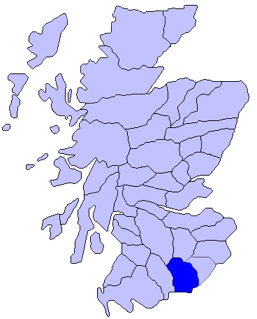
| DescriptionAnnadales Historical Map.png | Map of Annadales Historical Location |
| Date | |
| Source | Using Paint.net |
| Author | Comradcaer |
Licensing
| This file is made available under the Creative Commons CC0 1.0 Universal Public Domain Dedication. | |
| The person who associated a work with this deed has dedicated the work to the public domain by waiving all of their rights to the work worldwide under copyright law, including all related and neighboring rights, to the extent allowed by law. You can copy, modify, distribute and perform the work, even for commercial purposes, all without asking permission.
http://creativecommons.org/publicdomain/zero/1.0/deed.enCC0Creative Commons Zero, Public Domain Dedicationfalsefalse |
Original upload log
The original description page was here. All following user names refer to en.wikipedia.
| Date/Time | Dimensions | User | Comment |
|---|---|---|---|
| 2014-10-28 00:44:38 | 368× 456× | Comradcaer | Uploading a self-made file using [[Wikipedia:File_Upload_Wizard|File Upload Wizard]] |
Captions
Add a one-line explanation of what this file represents
Items portrayed in this file
depicts
28 October 2014
image/png
aea3f13783f6f4c362f71cbf4bd39e39aaa4d904
15,922 byte
456 pixel
368 pixel
File history
Click on a date/time to view the file as it appeared at that time.
| Date/Time | Thumbnail | Dimensions | User | Comment | |
|---|---|---|---|---|---|
| current | 08:55, 27 December 2016 | | 368 × 456 (16 KB) | FastilyClone | Transferred from en.wikipedia (MTC!) |
File usage
The following pages on the English Wikipedia use this file (pages on other projects are not listed):
Global file usage
The following other wikis use this file:
- Usage on es.wikipedia.org
- Usage on ga.wikipedia.org
- Usage on it.wikipedia.org
- Usage on pt.wikipedia.org
- Usage on uk.wikipedia.org
- Usage on www.wikidata.org
Metadata
This file contains additional information, probably added from the digital camera or scanner used to create or digitize it.
If the file has been modified from its original state, some details may not fully reflect the modified file.
| Horizontal resolution | 37.79 dpc |
|---|---|
| Vertical resolution | 37.79 dpc |
| Software used |
Retrieved from "https://en.wikipedia.org/wiki/File:Annadales_Historical_Map.png"