File:An_entrance_to_Tredegar_Grounds,_Risca_(geograph_2704880).jpg
From Wikipedia, the free encyclopedia
No higher resolution available.
An_entrance_to_Tredegar_Grounds,_Risca_(geograph_2704880).jpg (640 × 348 pixels, file size: 60 KB, MIME type: image/jpeg)
| This is a file from the Wikimedia Commons. Information from its description page there is shown below. Commons is a freely licensed media file repository. You can help. |
Summary
| DescriptionAn entrance to Tredegar Grounds, Risca (geograph 2704880).jpg |
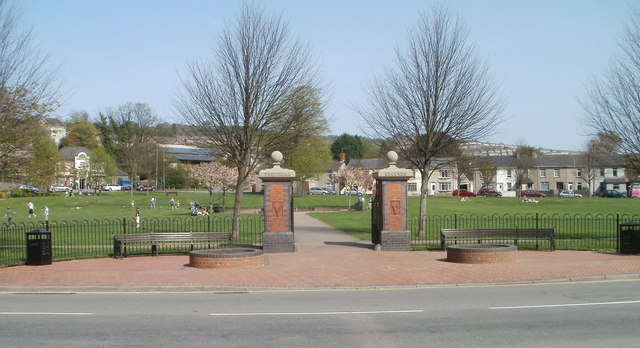
English: An entrance to Tredegar Grounds, Risca |
| Date | |
| Source | From geograph.org.uk |
| Author | Jaggery |
| Permission (Reusing this file) |
Creative Commons Attribution Share-alike license 2.0 |
| Attribution (required by the license) InfoField | Jaggery / An entrance to Tredegar Grounds, Risca / |
InfoField | Jaggery / An entrance to Tredegar Grounds, Risca |
| Camera location | 51° 36′ 23″ N, 3° 06′ 06″ W | View this and other nearby images on: OpenStreetMap |
|---|
| Object location | 51° 36′ 26″ N, 3° 06′ 01″ W | View this and other nearby images on: OpenStreetMap |
|---|
Licensing

|
This image was taken from the Geograph project collection. See this photograph's page on the Geograph website for the photographer's contact details. The copyright on this image is owned by Jaggery and is licensed for reuse under the Creative Commons Attribution-ShareAlike 2.0 license.
|
This file is licensed under the Creative Commons Attribution-Share Alike 2.0 Generic license.
Attribution: Jaggery
- You are free:
- to share – to copy, distribute and transmit the work
- to remix – to adapt the work
- Under the following conditions:
- attribution – You must give appropriate credit, provide a link to the license, and indicate if changes were made. You may do so in any reasonable manner, but not in any way that suggests the licensor endorses you or your use.
- share alike – If you remix, transform, or build upon the material, you must distribute your contributions under the same or compatible license as the original.
Captions
Add a one-line explanation of what this file represents
Items portrayed in this file
depicts
51°36'22.892"N, 3°6'6.203"W
10 April 2011
51°36'26.17"N, 3°6'1.08"W
image/jpeg
4fd87ebdc09a4d184d224198000e9866676c0087
61,119 byte
348 pixel
640 pixel
File history
Click on a date/time to view the file as it appeared at that time.
| Date/Time | Thumbnail | Dimensions | User | Comment | |
|---|---|---|---|---|---|
| current | 22:28, 29 April 2018 | | 640 × 348 (60 KB) | NeoMeesje | Transferred from geograph.co.uk using [https://tools.wmflabs.org/geograph2commons/ geograph2commons] |
File usage
The following pages on the English Wikipedia use this file (pages on other projects are not listed):
.jpg)