File:Alberta_Highway_17_Map.png
From Wikipedia, the free encyclopedia
Size of this preview: 388 × 599 pixels. Other resolutions: 155 × 240 pixels | 311 × 480 pixels | 497 × 768 pixels | 663 × 1,024 pixels | 2,516 × 3,884 pixels.
Original file (2,516 × 3,884 pixels, file size: 552 KB, MIME type: image/png)
| This is a file from the Wikimedia Commons. Information from its description page there is shown below. Commons is a freely licensed media file repository. You can help. |
Summary
| DescriptionAlberta Highway 17 Map.png |
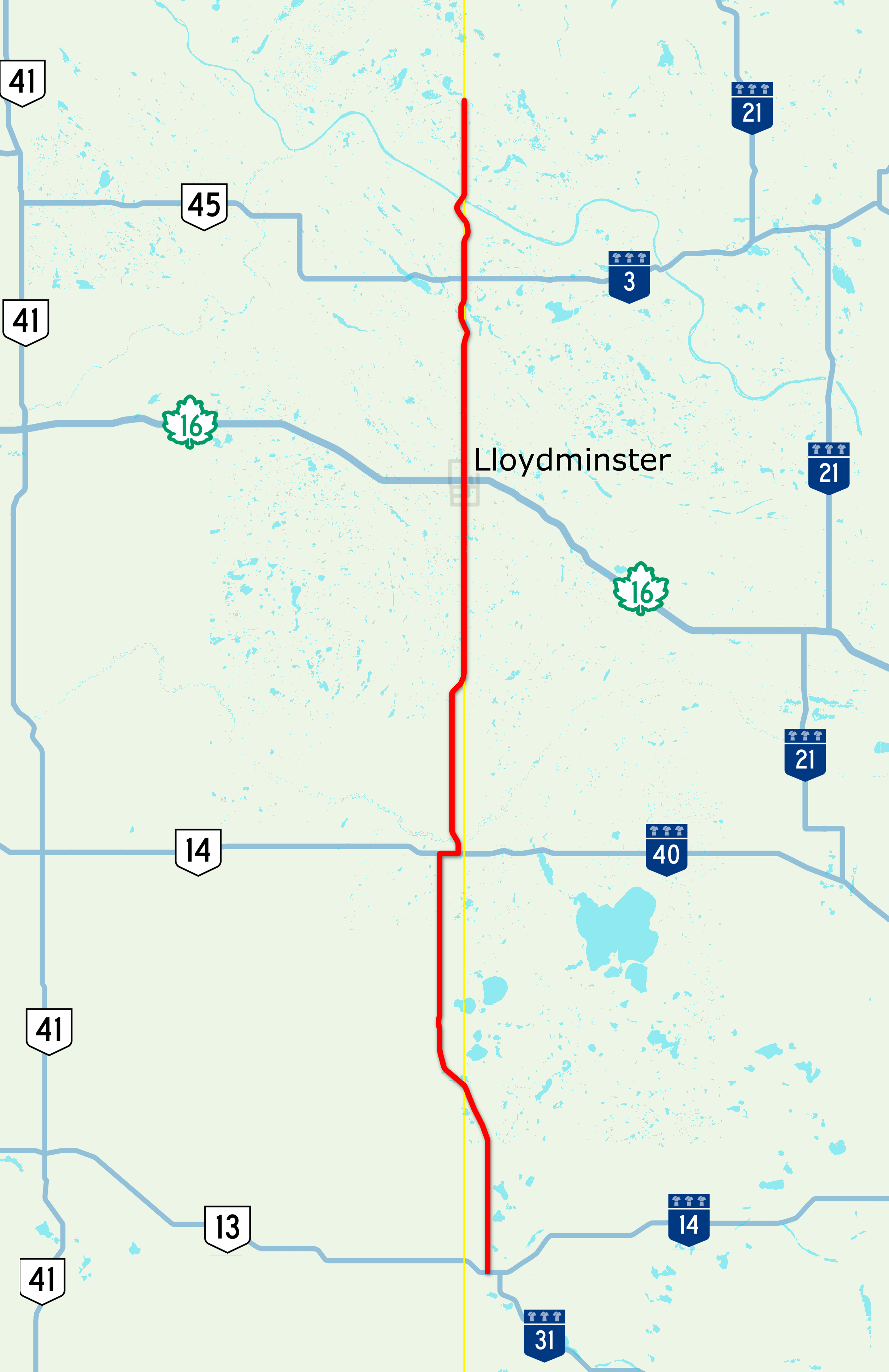
English: Map of Highway 17 on the border of Alberta and Saskatchewan in western Canada, created with Open Street Map. |
| Date | |
| Source | Own work |
| Author | Acefitt, OpenStreetMap contributors |
Licensing
This file is licensed under the Creative Commons Attribution-Share Alike 2.0 Generic license.
- You are free:
- to share – to copy, distribute and transmit the work
- to remix – to adapt the work
- Under the following conditions:
- attribution – You must give appropriate credit, provide a link to the license, and indicate if changes were made. You may do so in any reasonable manner, but not in any way that suggests the licensor endorses you or your use.
- share alike – If you remix, transform, or build upon the material, you must distribute your contributions under the same or compatible license as the original.
Captions
Add a one-line explanation of what this file represents
Items portrayed in this file
depicts
22 August 2017
image/png
1744daef6061bcd67ea6045b390a06791f53c1d7
565,201 byte
3,884 pixel
2,516 pixel
File history
Click on a date/time to view the file as it appeared at that time.
| Date/Time | Thumbnail | Dimensions | User | Comment | |
|---|---|---|---|---|---|
| current | 18:31, 22 August 2017 | | 2,516 × 3,884 (552 KB) | AceYYC | =={{int:filedesc}}== {{Information |description={{en|1=Map of Highway 17 on the border of Alberta and Saskatchewan in western Canada, created with Open Street Map.}} |date=2017-08-22 |source={{own}} |author=Acefitt, OpenStreetMap contr... |
File usage
The following pages on the English Wikipedia use this file (pages on other projects are not listed):
Global file usage
The following other wikis use this file:
- Usage on fr.wikipedia.org
Metadata
This file contains additional information, probably added from the digital camera or scanner used to create or digitize it.
If the file has been modified from its original state, some details may not fully reflect the modified file.
| PNG file comment |
|
|---|---|
| Horizontal resolution | 28.35 dpc |
| Vertical resolution | 28.35 dpc |
| File change date and time | 18:29, 22 August 2017 |
Retrieved from "https://en.wikipedia.org/wiki/File:Alberta_Highway_17_Map.png"