File:442x556-Carte-Région-Aquitaine-R.jpg
From Wikipedia, the free encyclopedia
No higher resolution available.
442x556-Carte-Région-Aquitaine-R.jpg (442 × 556 pixels, file size: 69 KB, MIME type: image/jpeg)
| This is a file from the Wikimedia Commons. Information from its description page there is shown below. Commons is a freely licensed media file repository. You can help. |
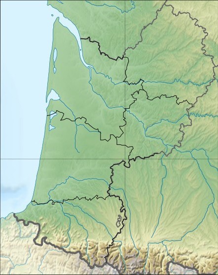
| Description442x556-Carte-Région-Aquitaine-R.jpg | Carte Region Aquitaine relief | ||||
| Date | Wikisoft* @@@-fr 08:29, 30 October 2010 (UTC) | ||||
| Source | SRTM Découpage carte Image:France_relief_location_map.jpg Sting Wikisoft* @@@-fr 08:29, 30 October 2010 (UTC) | ||||
| Author | Wikisoft* @@@-fr 08:29, 30 October 2010 (UTC) | ||||
| Permission (Reusing this file) |
This file is licensed under the Creative Commons Attribution-Share Alike 1.0 Generic license.
|
||||
| Other versions | fr:Modèle:Géolocalisation/Aquitaine |

Captions
Add a one-line explanation of what this file represents
Items portrayed in this file
depicts
image/jpeg
f7c3ca3e3a1b8d543e57611f78fddd8587e087dd
70,851 byte
556 pixel
442 pixel
File history
Click on a date/time to view the file as it appeared at that time.
| Date/Time | Thumbnail | Dimensions | User | Comment | |
|---|---|---|---|---|---|
| current | 08:29, 30 October 2010 | | 442 × 556 (69 KB) | Wikisoft* | {{Information |Description=Carte Region Aquitaine relief |Source=SRTM Découpage carte Image:France_relief_locatio_map.jpg Sting ~~~~ |Date=~~~~ |Author=~~~~ |Permission={{GFDL-GMT}}{{CC-BY-SA}} |other_versions=[[:fr:Modèle:Géolocalisation/Aqui |
File usage
The following pages on the English Wikipedia use this file (pages on other projects are not listed):
- Abri Pataud
- Abri de la Madeleine
- Battle of Auberoche
- Battle of Bergerac
- Cap Blanc rock shelter
- Combe Grenal
- Font-de-Gaume
- Fontéchevade
- Gascon campaign (1294–1303)
- Grotte de Cussac
- La Ferrassie
- Laugerie-Basse
- Le Moustier
- Les Combarelles
- Marsoulas Cave
- Pair-non-Pair
- Raymonden
- Rochereil
- Rouffignac Cave
- Siege of Aiguillon
- War of Saint-Sardos
- User:Gog the Mild/Misc
- User:Michael!/Project:Location map templates/France
- User:Newm30/Draft2
- Module:Location map/data/France Aquitaine
- Module:Location map/data/France Aquitaine/doc
Global file usage
The following other wikis use this file:
- Usage on ar.wikipedia.org
- Usage on bg.wikipedia.org
- Usage on ceb.wikipedia.org
- Usage on ce.wikipedia.org
- Usage on cv.wikipedia.org
- Usage on cy.wikipedia.org
- Usage on de.wikipedia.org
- Usage on el.wikipedia.org
- Usage on eo.wikipedia.org
- Usage on es.wikipedia.org
- Usage on fo.wikipedia.org
- Usage on fr.wikipedia.org
- Usage on gl.wikipedia.org
- Usage on id.wikipedia.org
- Usage on ja.wikipedia.org
- Usage on kk.wikipedia.org
- Usage on kn.wikipedia.org
- Usage on ko.wikipedia.org
- Usage on lrc.wikipedia.org
- Usage on pa.wikipedia.org
- Usage on pl.wikipedia.org
- Usage on pl.wikibooks.org
- Usage on ru.wikipedia.org
- Usage on sco.wikipedia.org
- Usage on sd.wikipedia.org
- Usage on simple.wikipedia.org
- Usage on si.wikipedia.org
- Usage on tr.wikipedia.org
- Usage on uk.wikipedia.org
View more global usage of this file.