File:1820_Salem_Massachusetts_map_bySaunders_BPL_12094.png
From Wikipedia, the free encyclopedia
Size of this preview: 800 × 541 pixels. Other resolutions: 320 × 216 pixels | 640 × 433 pixels | 1,052 × 711 pixels.
Original file (1,052 × 711 pixels, file size: 1.2 MB, MIME type: image/png)
| This is a file from the Wikimedia Commons. Information from its description page there is shown below. Commons is a freely licensed media file repository. You can help. |
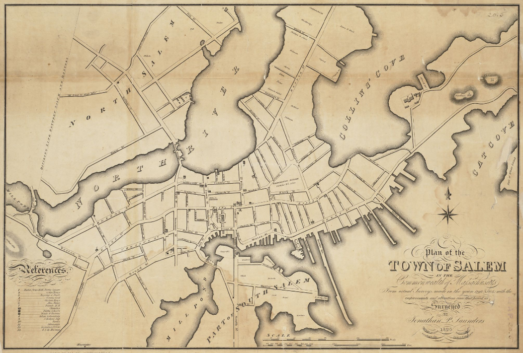
| Description1820 Salem Massachusetts map bySaunders BPL 12094.png | Plan of the town of Salem in the commonwealth of Massachusetts, from actual surveys, made in the years 1796 & 1804; with the improvements and alterations since that period as surveyed |
| Date | |
| Source | http://maps.bpl.org/details_12094 |
| Author | Saunders, Jonathan Peele |
| Public domainPublic domainfalsefalse |
This media file is in the public domain in the United States. This applies to U.S. works where the copyright has expired, often because its first publication occurred prior to January 1, 1929, and if not then due to lack of notice or renewal. See this page for further explanation.
|
 | |
 |
This image might not be in the public domain outside of the United States; this especially applies in the countries and areas that do not apply the rule of the shorter term for US works, such as Canada, Mainland China (not Hong Kong or Macao), Germany, Mexico, and Switzerland. The creator and year of publication are essential information and must be provided. See Wikipedia:Public domain and Wikipedia:Copyrights for more details.
|
Captions
Add a one-line explanation of what this file represents
Items portrayed in this file
depicts
1820
image/png
c68722001faf694093fbca029b571ef801b5dd12
1,253,611 byte
711 pixel
1,052 pixel
File history
Click on a date/time to view the file as it appeared at that time.
| Date/Time | Thumbnail | Dimensions | User | Comment | |
|---|---|---|---|---|---|
| current | 15:39, 15 February 2011 | | 1,052 × 711 (1.2 MB) | M2545 | {{Information |Description=Plan of the town of Salem in the commonwealth of Massachusetts, from actual surveys, made in the years 1796 & 1804; with the improvements and alterations since that period as surveyed |Source=http://maps.bpl.org/details_12094 |D |
File usage
The following pages on the English Wikipedia use this file (pages on other projects are not listed):
- Andrew–Safford House
- Bridge Street Neck Historic District
- Charter Street Historic District
- Chestnut Street District
- City Hall (Salem, Massachusetts)
- Cotting–Smith Assembly House
- Crombie Street District
- Crowninshield–Bentley House
- Derby Waterfront District
- Downtown Salem District
- Gardner–Pingree House
- Gedney and Cox Houses
- Hamilton Hall (Salem, Massachusetts)
- John Ward House (Salem, Massachusetts)
- Joseph Fenno House
- Nathaniel Bowditch House
- Nathaniel Hawthorne Birthplace
- Phillips Library (Massachusetts)
- Pickering House (Salem, Massachusetts)
- Quaker Meeting House (Peabody Essex Museum)
- Salem, Massachusetts
- Salem Common Historic District (Salem, Massachusetts)
- Salem Harbor
- Salem Hospital (Massachusetts)
- Salem Maritime National Historic Site
- Stephen Phillips House
- Timeline of Salem, Massachusetts
- West Cogswell House
Global file usage
The following other wikis use this file:
- Usage on be.wikipedia.org
- Usage on de.wikipedia.org
- Usage on es.wikipedia.org
- Usage on fr.wikipedia.org
- Usage on hy.wikipedia.org
- Usage on hyw.wikipedia.org
- Usage on it.wikipedia.org
- Usage on ja.wikipedia.org
- Usage on kk.wikipedia.org
- Usage on ky.wikipedia.org
- Usage on lmo.wikipedia.org
- Usage on mr.wikipedia.org
- Usage on pl.wikipedia.org
- Usage on pt.wikipedia.org
- Usage on ro.wikipedia.org
- Usage on ru.wikipedia.org
- Usage on sh.wikipedia.org
- Usage on sr.wikipedia.org
- Usage on sv.wikipedia.org
- Usage on tr.wikipedia.org
- Usage on uk.wikipedia.org
- Usage on zh.wikipedia.org
Metadata
This file contains additional information, probably added from the digital camera or scanner used to create or digitize it.
If the file has been modified from its original state, some details may not fully reflect the modified file.
| Horizontal resolution | 28.35 dpc |
|---|---|
| Vertical resolution | 28.35 dpc |